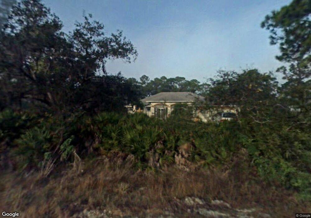
1580 5th St Englewood, FL 34223
Manasota NeighborhoodEstimated Value: $528,000 - $693,000
3
Beds
2
Baths
2,216
Sq Ft
$291/Sq Ft
Est. Value
About This Home
This home is located at 1580 5th St, Englewood, FL 34223 and is currently estimated at $645,035, approximately $291 per square foot. 1580 5th St is a home located in Sarasota County with nearby schools including Englewood Elementary School, L.A. Ainger Middle School, and Lemon Bay High School.
Ownership History
Date
Name
Owned For
Owner Type
Purchase Details
Closed on
Sep 13, 2016
Sold by
Wilcox Susan M
Bought by
Wilcox Susan M
Current Estimated Value
Purchase Details
Closed on
Mar 30, 2015
Sold by
Wilcox Michael L and Wilcox Susan M
Bought by
Wilcox Susan M
Purchase Details
Closed on
Jul 15, 2003
Sold by
Szeplaki Joseph
Bought by
Wilcox Michael L and Wilcox Susan M
Home Financials for this Owner
Home Financials are based on the most recent Mortgage that was taken out on this home.
Original Mortgage
$284,000
Interest Rate
5.2%
Create a Home Valuation Report for This Property
The Home Valuation Report is an in-depth analysis detailing your home's value as well as a comparison with similar homes in the area
Home Values in the Area
Average Home Value in this Area
Purchase History
| Date | Buyer | Sale Price | Title Company |
|---|---|---|---|
| Wilcox Susan M | -- | None Available | |
| Wilcox Susan M | -- | Attorney | |
| Wilcox Michael L | $355,000 | -- |
Source: Public Records
Mortgage History
| Date | Status | Borrower | Loan Amount |
|---|---|---|---|
| Previous Owner | Wilcox Michael L | $284,000 |
Source: Public Records
Tax History Compared to Growth
Tax History
| Year | Tax Paid | Tax Assessment Tax Assessment Total Assessment is a certain percentage of the fair market value that is determined by local assessors to be the total taxable value of land and additions on the property. | Land | Improvement |
|---|---|---|---|---|
| 2024 | $3,393 | $284,210 | -- | -- |
| 2023 | $3,393 | $275,932 | $0 | $0 |
| 2022 | $3,295 | $267,895 | $0 | $0 |
| 2021 | $3,310 | $260,092 | $0 | $0 |
| 2020 | $3,306 | $256,501 | $0 | $0 |
| 2019 | $3,182 | $250,734 | $0 | $0 |
| 2018 | $3,095 | $246,059 | $0 | $0 |
| 2017 | $3,073 | $240,998 | $0 | $0 |
| 2016 | $3,057 | $275,800 | $72,200 | $203,600 |
| 2015 | $3,102 | $234,400 | $57,300 | $177,100 |
| 2014 | $3,261 | $242,249 | $0 | $0 |
Source: Public Records
Map
Nearby Homes
- 213 N Fiji Cir
- 140 N Fiji Cir
- 200 N Fiji Cir
- 1712 Shell Dr
- 91 N Easter Island Cir
- 1071 Owl Dr
- 15 N Botany Bay Cir
- 2131 Heasley Rd
- 148 N Fiji Cir
- 10 S Botany Bay Cir
- 54 N Easter Island Cir
- 29 S Easter Island Cir
- 190 Pago Ln
- 119 S Fiji Cir
- 61 S Easter Island Cir
- 56 N Fiji Cir
- 126 Pago Ln
- 181 S Fiji Cir Unit 181
- 1730 Padre Ln
- 177 S Fiji Cir
- 2560 Bridge St
- 0 N Bridge St Unit N5915997
- 2572 Bridge St
- 1600 5th St
- 1580 Thomas St
- 1 5th St
- 2200 Bridge St
- 1590 Thomas St
- 0 Bridge St Unit N5765707
- 0 Bridge St Unit N5912392
- 1583 Thomas St
- 1601 5th St
- 1587 Thomas St
- 1600 Thomas St
- 2201 Bridge St
- 1611 5th St
- 1581 Maria St
- 1621 5th St
- 1620 Thomas St