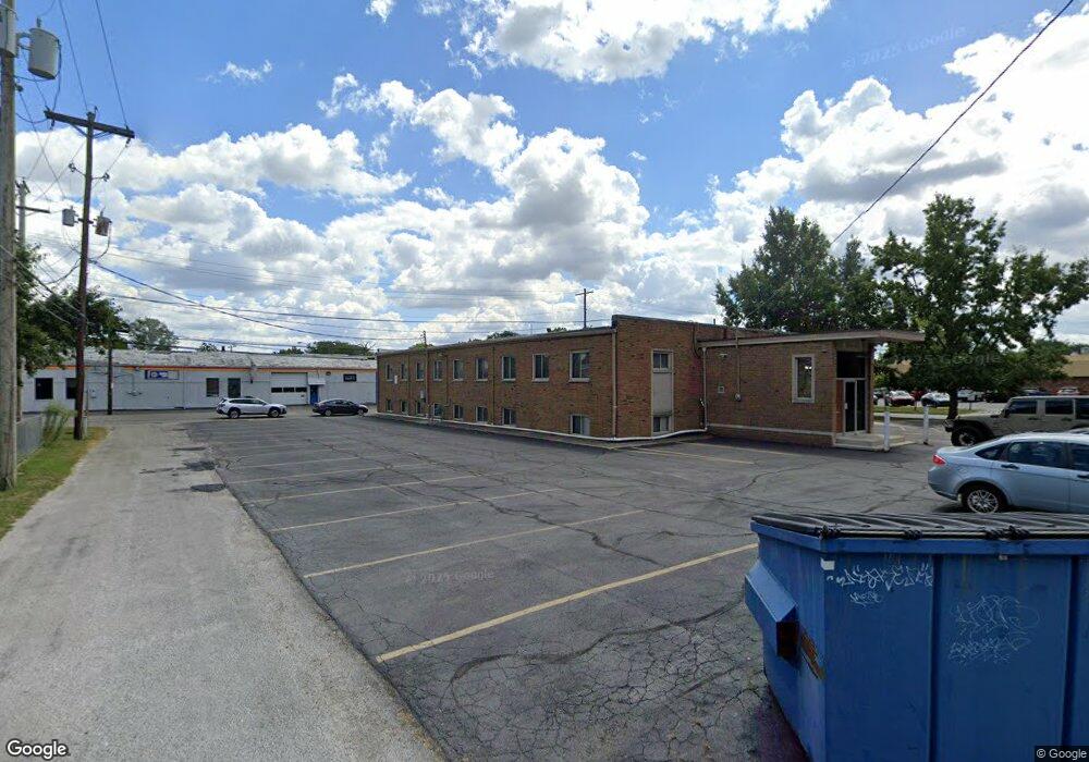
1580 King Ave Columbus, OH 43212
Fifth by Northwest NeighborhoodEstimated Value: $1,213,083
--
Bed
--
Bath
9,000
Sq Ft
$135/Sq Ft
Est. Value
About This Home
This home is located at 1580 King Ave, Columbus, OH 43212 and is currently estimated at $1,213,083, approximately $134 per square foot. 1580 King Ave is a home located in Franklin County with nearby schools including Cranbrook Elementary School, Ridgeview Middle School, and Centennial High School.
Ownership History
Date
Name
Owned For
Owner Type
Purchase Details
Closed on
Dec 5, 2002
Sold by
Bouzounis Chris and Bouzounis Sue
Bought by
The Kingland Company Ltd
Current Estimated Value
Home Financials for this Owner
Home Financials are based on the most recent Mortgage that was taken out on this home.
Original Mortgage
$400,000
Interest Rate
6.23%
Mortgage Type
Commercial
Purchase Details
Closed on
May 2, 1990
Bought by
Bouzounis Chris and Bouzounis Sue
Purchase Details
Closed on
Oct 1, 1985
Create a Home Valuation Report for This Property
The Home Valuation Report is an in-depth analysis detailing your home's value as well as a comparison with similar homes in the area
Home Values in the Area
Average Home Value in this Area
Purchase History
| Date | Buyer | Sale Price | Title Company |
|---|---|---|---|
| The Kingland Company Ltd | $500,000 | -- | |
| Bouzounis Chris | $355,000 | -- | |
| -- | $325,000 | -- |
Source: Public Records
Mortgage History
| Date | Status | Borrower | Loan Amount |
|---|---|---|---|
| Closed | The Kingland Company Ltd | $400,000 |
Source: Public Records
Tax History Compared to Growth
Tax History
| Year | Tax Paid | Tax Assessment Tax Assessment Total Assessment is a certain percentage of the fair market value that is determined by local assessors to be the total taxable value of land and additions on the property. | Land | Improvement |
|---|---|---|---|---|
| 2024 | $19,492 | $262,610 | $120,960 | $141,650 |
| 2023 | $19,183 | $262,605 | $120,960 | $141,645 |
| 2022 | $16,707 | $222,780 | $96,780 | $126,000 |
| 2021 | $16,779 | $222,780 | $96,780 | $126,000 |
| 2020 | $16,663 | $222,780 | $96,780 | $126,000 |
| 2019 | $15,289 | $185,640 | $80,640 | $105,000 |
| 2018 | $14,973 | $185,640 | $80,640 | $105,000 |
| 2017 | $15,555 | $185,640 | $80,640 | $105,000 |
| 2016 | $15,839 | $182,000 | $80,640 | $101,360 |
| 2015 | $14,705 | $182,000 | $80,640 | $101,360 |
| 2014 | $14,699 | $182,000 | $80,640 | $101,360 |
| 2013 | $7,283 | $182,000 | $80,640 | $101,360 |
Source: Public Records
Map
Nearby Homes
- 1661 Ashland Ave Unit 663
- 1655-1657 Ashland Ave
- 1733 Elmwood Ave
- 1825 Northwest Ct Unit D
- 1782 Wyandotte Rd
- 1398 Lower Green Cir Unit 1398
- 1364 W 7th Ave
- 1561 Glenn Ave
- 00 W 7th Ave
- 1459 Elmwood Ave Unit 1459
- 1475 W 3rd Ave Unit 204
- 2110 Northwest Blvd
- 1263 Oakland Ave
- 1126 King Ave Unit 128
- 2015 W 5th Ave Unit 211
- 2015 W 5th Ave Unit 102
- 2015 W 5th Ave Unit 108
- 1631 Roxbury Rd Unit A1
- 1631 Roxbury Rd Unit F3
- 1631 Roxbury Rd Unit B6
- 1562 King Ave
- 1720 Ashland Ave
- 1587 King Ave Unit 589
- 1715-1721 N Starr Rd
- 1602 King Ave Unit 606
- 1590 King Ave Unit 596
- 1724 Ashland Ave Unit 1724
- 1726 Ashland Ave
- 1728 Ashland Ave Unit 1728
- 1724 N Star Ave
- 2333 N Star Ave
- 1730 Ashland Ave Unit 1730
- 1659 N Star Ave
- 0 N Star Ave
- 1734 Ashland Ave Unit 740
- 1734 Ashland Ave
- 1530 King Ave
- 1666 Ashland Ave Unit 668
- 1651 N Star Ave
- 1566 W 7th Ave Unit 568