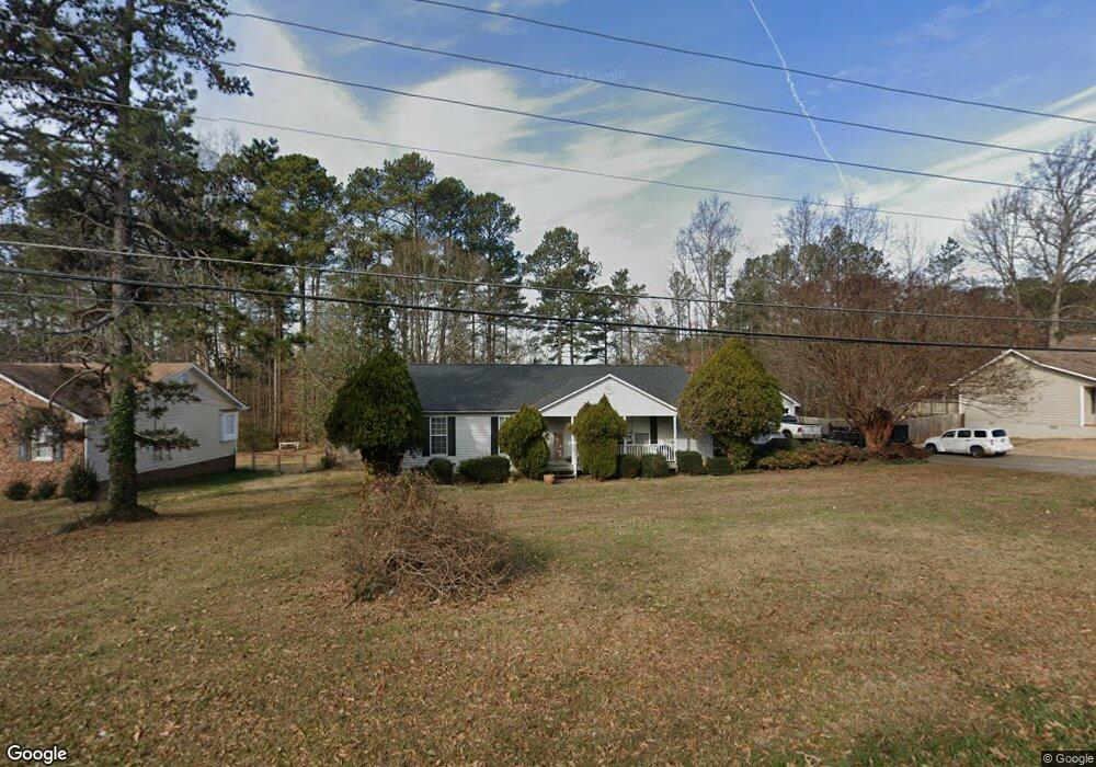
1580 Plunketts Rd Buford, GA 30519
Estimated Value: $327,310 - $362,000
3
Beds
2
Baths
1,586
Sq Ft
$217/Sq Ft
Est. Value
About This Home
This home is located at 1580 Plunketts Rd, Buford, GA 30519 and is currently estimated at $344,328, approximately $217 per square foot. 1580 Plunketts Rd is a home located in Gwinnett County with nearby schools including Buford Elementary School, Buford Senior Academy, and Buford Academy.
Ownership History
Date
Name
Owned For
Owner Type
Purchase Details
Closed on
May 21, 2003
Sold by
Va
Bought by
Updegraff Dorothy A
Current Estimated Value
Home Financials for this Owner
Home Financials are based on the most recent Mortgage that was taken out on this home.
Original Mortgage
$123,000
Outstanding Balance
$52,995
Interest Rate
5.79%
Estimated Equity
$291,333
Purchase Details
Closed on
Mar 23, 2001
Sold by
Johnson Michael G
Bought by
Johnson Michael G and Johnson Melanie
Home Financials for this Owner
Home Financials are based on the most recent Mortgage that was taken out on this home.
Original Mortgage
$127,500
Interest Rate
6.98%
Mortgage Type
VA
Purchase Details
Closed on
Jun 19, 1997
Sold by
Holley Larry and Holley Melanie J
Bought by
Pratt Brian A and Pratt Beth
Home Financials for this Owner
Home Financials are based on the most recent Mortgage that was taken out on this home.
Original Mortgage
$25,000
Interest Rate
7.97%
Mortgage Type
New Conventional
Create a Home Valuation Report for This Property
The Home Valuation Report is an in-depth analysis detailing your home's value as well as a comparison with similar homes in the area
Home Values in the Area
Average Home Value in this Area
Purchase History
| Date | Buyer | Sale Price | Title Company |
|---|---|---|---|
| Updegraff Dorothy A | -- | -- | |
| Johnson Michael G | -- | -- | |
| Johnson Michael G | $125,000 | -- | |
| Pratt Brian A | $25,000 | -- |
Source: Public Records
Mortgage History
| Date | Status | Borrower | Loan Amount |
|---|---|---|---|
| Open | Updegraff Dorothy A | $123,000 | |
| Previous Owner | Johnson Michael G | $127,500 | |
| Previous Owner | Pratt Brian A | $25,000 |
Source: Public Records
Tax History
| Year | Tax Paid | Tax Assessment Tax Assessment Total Assessment is a certain percentage of the fair market value that is determined by local assessors to be the total taxable value of land and additions on the property. | Land | Improvement |
|---|---|---|---|---|
| 2025 | $1,389 | $96,760 | $24,000 | $72,760 |
| 2024 | $1,389 | $96,760 | $24,000 | $72,760 |
| 2023 | $1,389 | $96,760 | $24,000 | $72,760 |
| 2022 | $1,057 | $73,640 | $14,000 | $59,640 |
| 2021 | $1,057 | $73,640 | $14,000 | $59,640 |
| 2020 | $1,057 | $73,640 | $14,000 | $59,640 |
| 2019 | $739 | $57,040 | $12,000 | $45,040 |
| 2018 | $739 | $57,040 | $12,000 | $45,040 |
| 2016 | $698 | $54,480 | $10,000 | $44,480 |
| 2015 | $723 | $54,480 | $10,000 | $44,480 |
| 2014 | -- | $55,680 | $11,200 | $44,480 |
Source: Public Records
Map
Nearby Homes
- 1785 Plunketts Rd
- 2689 Woodward Down Trail NE
- 3645 Knoll Crest Trail
- 1781 Plunketts Rd
- 2939 Woodward Down Trail
- 3735 Fir Dr
- 3110 Financial Center Way
- 1320 Newbridge Cir
- 1970 Sturbridge Ln Unit 1
- 3400 Coles Creek Dr
- 2140 Harvest Ridge Cir
- 3790 Salvia Dr
- 3534 Fallen Oak Ln
- 3503 Fallen Oak Dr
- 1669 Centerville Dr
- 3214 Mill Springs Cir
- 3187 Mill Springs Cir
- 3160 Mill Springs Cir
- 3267 Mill Springs Cir
- 3297 Mill Springs Cir
- 1590 Plunketts Rd
- 1574 Plunketts Rd
- 1570 Plunketts Rd
- 1600 Plunketts Rd
- 1561 Plunkett Rd
- 1560 Plunketts Rd
- 1581 Plunketts Rd
- 1571 Plunketts Rd
- 1551 Plunketts Rd
- 1561 Plunketts Rd
- 1620 Plunketts Rd
- 1620 Plunkett Rd
- 1554 Plunketts Rd
- 3585 Ontario Ct
- 1630 Plunketts Rd
- 3552 Ontario Ct
- 1548 Plunketts Rd
- 1531 Plunketts Rd
- 1610 Plunketts Rd
- 1521 Plunketts Rd
Your Personal Tour Guide
Ask me questions while you tour the home.