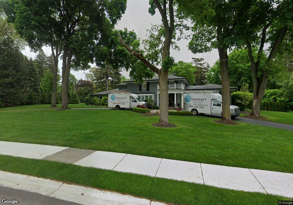
1580 Tottenham Rd Unit Bldg-Unit Bloomfield Hills, MI 48301
Estimated Value: $1,345,000 - $2,274,992
5
Beds
7
Baths
4,219
Sq Ft
$423/Sq Ft
Est. Value
About This Home
This home is located at 1580 Tottenham Rd Unit Bldg-Unit, Bloomfield Hills, MI 48301 and is currently estimated at $1,784,998, approximately $423 per square foot. 1580 Tottenham Rd Unit Bldg-Unit is a home located in Oakland County with nearby schools including Quarton Elementary, Derby Middle School, and Ernest W. Seaholm High School.
Ownership History
Date
Name
Owned For
Owner Type
Purchase Details
Closed on
Aug 28, 2020
Sold by
Stevens Carol Jane Mates and Aurelia Metes Agreement Od Tru
Bought by
Small Emily
Current Estimated Value
Home Financials for this Owner
Home Financials are based on the most recent Mortgage that was taken out on this home.
Original Mortgage
$510,400
Outstanding Balance
$452,946
Interest Rate
2.9%
Mortgage Type
New Conventional
Estimated Equity
$1,332,052
Purchase Details
Closed on
Aug 11, 2000
Sold by
Mates Peter and Metes Aurelia
Bought by
Aurelia Metes Living Trust
Create a Home Valuation Report for This Property
The Home Valuation Report is an in-depth analysis detailing your home's value as well as a comparison with similar homes in the area
Home Values in the Area
Average Home Value in this Area
Purchase History
| Date | Buyer | Sale Price | Title Company |
|---|---|---|---|
| Small Emily | $872,000 | Equity Title Agency Llc | |
| Small Emily | $872,000 | Equity Title | |
| Aurelia Metes Living Trust | -- | None Available |
Source: Public Records
Mortgage History
| Date | Status | Borrower | Loan Amount |
|---|---|---|---|
| Open | Small Emily | $510,400 |
Source: Public Records
Tax History Compared to Growth
Tax History
| Year | Tax Paid | Tax Assessment Tax Assessment Total Assessment is a certain percentage of the fair market value that is determined by local assessors to be the total taxable value of land and additions on the property. | Land | Improvement |
|---|---|---|---|---|
| 2024 | $11,463 | $755,290 | $0 | $0 |
| 2023 | $11,001 | $676,450 | $0 | $0 |
| 2022 | $19,396 | $651,870 | $0 | $0 |
| 2021 | $32,117 | $616,160 | $0 | $0 |
| 2020 | $12,741 | $591,620 | $0 | $0 |
| 2019 | $23,788 | $643,620 | $0 | $0 |
| 2018 | $18,129 | $571,130 | $0 | $0 |
| 2017 | $18,232 | $559,370 | $0 | $0 |
| 2016 | $18,233 | $577,370 | $0 | $0 |
| 2015 | -- | $559,760 | $0 | $0 |
| 2014 | -- | $514,160 | $0 | $0 |
| 2011 | -- | $434,090 | $0 | $0 |
Source: Public Records
Map
Nearby Homes
- 375 Dunston Rd
- 1260 Lyonhurst St
- 1120 Lyonhurst St
- 270 Martell Dr
- 1019 N Cranbrook Rd
- 956 Westwood Dr
- 2579 Amberly Rd
- 1882 Melbourne St
- 1537 Ashford Ln
- 1056 Pilgrim Ave
- 596 Rudgate Rd
- 345 Kimberly St
- 586 Fairfax St
- 1834 Fairview St
- 1551 Lakeside Dr
- 1348 Charrington Rd
- 1295 Lakeside Dr
- 1287 Charrington Rd
- 60 Kingsley Manor Dr
- 1030 Lakeside Dr
- 1580 Tottenham Rd
- 00 Orchard Ln
- 0000 Orchard Ln
- 2235 Quarton Rd
- 1532 Tottenham Rd
- 1525 N Cranbrook Rd
- 1483 N Cranbrook Rd
- 1571 Tottenham Rd
- 30 Orchard Ln
- 00 Quarton Ln
- 0 Quarton Ln
- 0000 Quarton Ln
- 1565 N Cranbrook Rd
- 10 Orchard Ln
- 1525 Tottenham Rd
- 1435 N Cranbrook Rd
- 2250 Quarton Rd
- 30 Quarton Ln
- 1500 N Cranbrook Rd
- 1576 Covington Rd