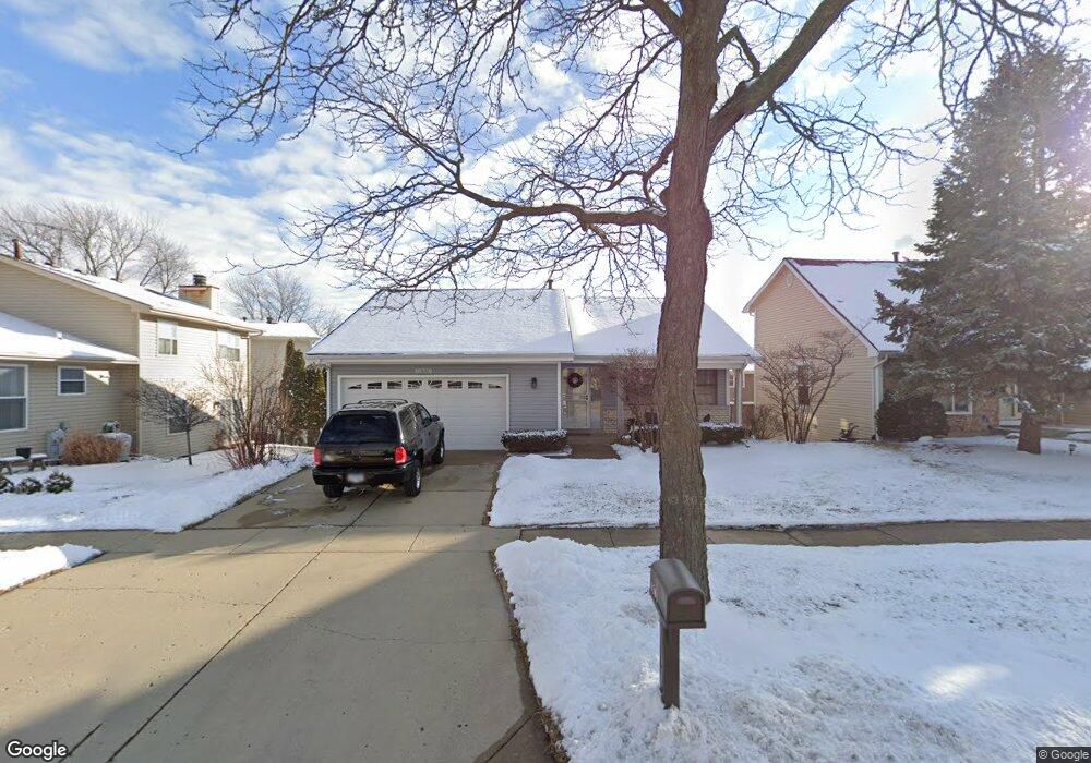
1581 Brookside Dr Hoffman Estates, IL 60169
South Hoffman Estates NeighborhoodEstimated Value: $319,000 - $424,000
3
Beds
1
Bath
1,094
Sq Ft
$331/Sq Ft
Est. Value
About This Home
This home is located at 1581 Brookside Dr, Hoffman Estates, IL 60169 and is currently estimated at $361,754, approximately $330 per square foot. 1581 Brookside Dr is a home located in Cook County with nearby schools including Neil Armstrong Elementary School, Dwight D Eisenhower Junior High School, and Hoffman Estates High School.
Ownership History
Date
Name
Owned For
Owner Type
Purchase Details
Closed on
Mar 24, 1994
Sold by
Ozimek Kenneth E and Ozimek Sandy R
Bought by
Mercado Miguel A and Mercado Mary L
Current Estimated Value
Home Financials for this Owner
Home Financials are based on the most recent Mortgage that was taken out on this home.
Original Mortgage
$91,000
Interest Rate
7.84%
Create a Home Valuation Report for This Property
The Home Valuation Report is an in-depth analysis detailing your home's value as well as a comparison with similar homes in the area
Home Values in the Area
Average Home Value in this Area
Purchase History
| Date | Buyer | Sale Price | Title Company |
|---|---|---|---|
| Mercado Miguel A | $141,000 | -- |
Source: Public Records
Mortgage History
| Date | Status | Borrower | Loan Amount |
|---|---|---|---|
| Closed | Mercado Miguel A | $91,000 |
Source: Public Records
Tax History Compared to Growth
Tax History
| Year | Tax Paid | Tax Assessment Tax Assessment Total Assessment is a certain percentage of the fair market value that is determined by local assessors to be the total taxable value of land and additions on the property. | Land | Improvement |
|---|---|---|---|---|
| 2024 | $5,841 | $25,000 | $4,730 | $20,270 |
| 2023 | $3,289 | $25,000 | $4,730 | $20,270 |
| 2022 | $3,289 | $25,000 | $4,730 | $20,270 |
| 2021 | $3,613 | $19,455 | $7,449 | $12,006 |
| 2020 | $3,287 | $19,455 | $7,449 | $12,006 |
| 2019 | $3,251 | $21,617 | $7,449 | $14,168 |
| 2018 | $3,627 | $20,793 | $6,503 | $14,290 |
| 2017 | $3,500 | $20,793 | $6,503 | $14,290 |
| 2016 | $4,079 | $20,793 | $6,503 | $14,290 |
| 2015 | $4,619 | $18,924 | $5,676 | $13,248 |
| 2014 | $4,443 | $18,924 | $5,676 | $13,248 |
| 2013 | $4,432 | $18,924 | $5,676 | $13,248 |
Source: Public Records
Map
Nearby Homes
- 1612 Islandview Ct
- 1685 Cornell Dr
- 1672 Cornell Dr
- 1375 Rebecca Dr Unit 318
- 1375 Rebecca Dr Unit 213
- 1795 Marquette Ln Unit 5601
- 1808 Fayette Walk Unit H
- 1800 Fayette Walk Unit E
- 1840 Huntington Blvd Unit 412
- 1840 Huntington Blvd Unit 415
- 1704 Fayette Walk Unit B
- 1712 Fayette Walk Unit D
- 1800 Huntington Blvd Unit AE615
- 1800 Huntington Blvd Unit AE212
- 1874 Wellington Place
- 1764 Pebble Beach Dr Unit 1
- 2230 Stratham Place
- 1698 Pebble Beach Dr
- 1925 Georgetown Ln Unit 4
- 1415 N Oakmont Rd
- 1579 Brookside Dr
- 1583 Brookside Dr
- 1585 Brookside Dr
- 1966 Brookside Ln
- 1968 Brookside Ln
- 1569 Brookside Dr
- 1587 Brookside Dr
- 1582 Brookside Dr
- 1584 Brookside Dr
- 1580 Brookside Dr
- 1559 Brookside Dr
- 1964 Brookside Ln
- 1586 Brookside Dr
- 1578 Brookside Dr
- 1589 Brookside Dr
- 1588 Brookside Dr
- 1549 Brookside Dr
- 1972 Brookside Ln
- 1944 Brookside Ln
- 1593 Brookside Dr