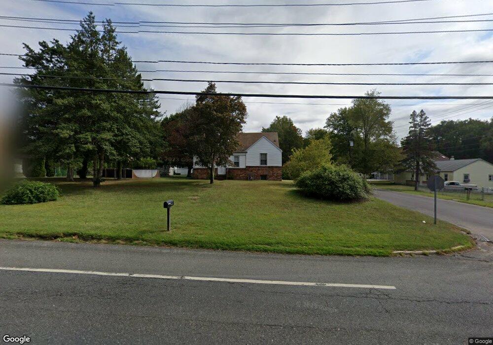
1581 Delsea Dr Woodbury, NJ 08096
Deptford Township NeighborhoodEstimated Value: $275,126 - $374,000
--
Bed
--
Bath
1,675
Sq Ft
$200/Sq Ft
Est. Value
About This Home
This home is located at 1581 Delsea Dr, Woodbury, NJ 08096 and is currently estimated at $335,282, approximately $200 per square foot. 1581 Delsea Dr is a home located in Gloucester County with nearby schools including Deptford Township High School and Holy Angels Catholic School.
Ownership History
Date
Name
Owned For
Owner Type
Purchase Details
Closed on
Feb 9, 2023
Sold by
Peterson Michael
Bought by
Citigroup Mortgage Loan Trust
Current Estimated Value
Purchase Details
Closed on
Apr 28, 2006
Sold by
Sanders Thomas A
Bought by
Michael Peterson
Home Financials for this Owner
Home Financials are based on the most recent Mortgage that was taken out on this home.
Original Mortgage
$110,000
Interest Rate
6.34%
Mortgage Type
Purchase Money Mortgage
Create a Home Valuation Report for This Property
The Home Valuation Report is an in-depth analysis detailing your home's value as well as a comparison with similar homes in the area
Home Values in the Area
Average Home Value in this Area
Purchase History
| Date | Buyer | Sale Price | Title Company |
|---|---|---|---|
| Citigroup Mortgage Loan Trust | -- | -- | |
| Michael Peterson | $110,000 | -- |
Source: Public Records
Mortgage History
| Date | Status | Borrower | Loan Amount |
|---|---|---|---|
| Previous Owner | Michael Peterson | $110,000 |
Source: Public Records
Tax History Compared to Growth
Tax History
| Year | Tax Paid | Tax Assessment Tax Assessment Total Assessment is a certain percentage of the fair market value that is determined by local assessors to be the total taxable value of land and additions on the property. | Land | Improvement |
|---|---|---|---|---|
| 2025 | $6,181 | $172,400 | $35,800 | $136,600 |
| 2024 | $5,982 | $172,400 | $35,800 | $136,600 |
| 2023 | $5,982 | $172,400 | $35,800 | $136,600 |
| 2022 | $5,939 | $172,400 | $35,800 | $136,600 |
| 2021 | $5,855 | $172,400 | $35,800 | $136,600 |
| 2020 | $5,787 | $172,400 | $35,800 | $136,600 |
| 2019 | $5,677 | $172,400 | $35,800 | $136,600 |
| 2018 | $5,550 | $172,400 | $35,800 | $136,600 |
| 2017 | $5,401 | $172,400 | $35,800 | $136,600 |
| 2016 | $5,291 | $172,400 | $35,800 | $136,600 |
| 2015 | $5,127 | $172,400 | $35,800 | $136,600 |
| 2014 | $4,994 | $172,400 | $35,800 | $136,600 |
Source: Public Records
Map
Nearby Homes
- 1573 Delsea Dr
- 106 Shelly Ln
- 1002 Cumberland Ave
- 951 New Jersey Ave
- 14 Laurel Ct
- 1106 Cumberland Ave
- 924 Virginia Ave
- 133 Hampshire Dr
- 1672 Cooper St
- 1209 Cooper St
- 1879 Delsea Dr
- 1232 Cooper St
- BL 129 LT 8 10-20 Buffalo Ct
- 807 Buffalo Ct
- 230 Hampshire Dr
- 129 Williams Ave
- 418 Dogwood Dr
- 805 Cattell Rd
- 1554 Good Intent Rd
- 760 Highland Ave
- 1577 Delsea Dr
- 1020 Bennett Dr
- 1003 Bennett Dr
- 1013 Bennett Dr
- 1021 Lindberg Dr
- 1030 Bennett Dr
- 1017 Bennett Dr
- 1029 Lindberg Dr
- 1029 Bennett Dr
- 1040 Bennett Dr
- 1039 Lindberg Dr
- 1010 Lindberg Dr
- 1041 Bennett Dr
- 1000 Lindberg Dr
- 1020 Lindberg Dr
- 1561 Delsea Dr Unit 1
- 1050 Bennett Dr
- 1026 Lindberg Dr
- 1049 Lindberg Dr
- 1049 Bennett Dr