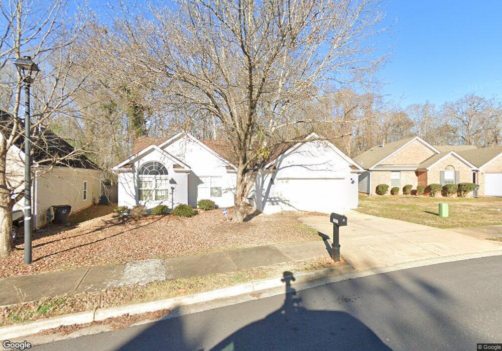
1581 Queen Elizabeth Dr Unit 6 Locust Grove, GA 30248
Estimated Value: $245,000 - $276,000
3
Beds
5
Baths
1,654
Sq Ft
$157/Sq Ft
Est. Value
About This Home
This home is located at 1581 Queen Elizabeth Dr Unit 6, Locust Grove, GA 30248 and is currently estimated at $258,932, approximately $156 per square foot. 1581 Queen Elizabeth Dr Unit 6 is a home located in Henry County with nearby schools including Locust Grove Elementary School, Locust Grove Middle School, and Locust Grove High School.
Ownership History
Date
Name
Owned For
Owner Type
Purchase Details
Closed on
Jan 18, 2008
Sold by
Hsbc Bk Usa
Bought by
Anderson Linda E
Current Estimated Value
Home Financials for this Owner
Home Financials are based on the most recent Mortgage that was taken out on this home.
Original Mortgage
$108,000
Outstanding Balance
$67,899
Interest Rate
6.17%
Mortgage Type
New Conventional
Estimated Equity
$191,033
Purchase Details
Closed on
Oct 7, 2007
Sold by
Wright Demond
Bought by
Hsbc Bank Usa
Create a Home Valuation Report for This Property
The Home Valuation Report is an in-depth analysis detailing your home's value as well as a comparison with similar homes in the area
Home Values in the Area
Average Home Value in this Area
Purchase History
| Date | Buyer | Sale Price | Title Company |
|---|---|---|---|
| Anderson Linda E | $108,000 | -- | |
| Hsbc Bank Usa | $121,532 | -- |
Source: Public Records
Mortgage History
| Date | Status | Borrower | Loan Amount |
|---|---|---|---|
| Open | Anderson Linda E | $108,000 |
Source: Public Records
Tax History Compared to Growth
Tax History
| Year | Tax Paid | Tax Assessment Tax Assessment Total Assessment is a certain percentage of the fair market value that is determined by local assessors to be the total taxable value of land and additions on the property. | Land | Improvement |
|---|---|---|---|---|
| 2025 | $4,225 | $108,400 | $16,000 | $92,400 |
| 2024 | $4,225 | $105,400 | $16,000 | $89,400 |
| 2023 | $3,913 | $107,920 | $12,800 | $95,120 |
| 2022 | $3,135 | $85,680 | $12,800 | $72,880 |
| 2021 | $2,450 | $66,600 | $12,800 | $53,800 |
| 2020 | $1,938 | $62,400 | $12,000 | $50,400 |
| 2019 | $1,802 | $55,680 | $10,000 | $45,680 |
| 2018 | $1,682 | $51,640 | $9,200 | $42,440 |
| 2016 | $1,404 | $44,120 | $8,000 | $36,120 |
| 2015 | $1,385 | $42,600 | $8,000 | $34,600 |
| 2014 | $1,141 | $36,080 | $8,000 | $28,080 |
Source: Public Records
Map
Nearby Homes
- 1604 Lady Maria Ct
- 1524 Queen Elizabeth Dr
- 77 Rosser Ln
- 279 Indian Creek Rd
- 1020 Saint Augustine Pkwy
- 1119 Saint Phillips Ct
- 315 Clover Brook Dr
- 110 Ridge St
- 1134 Saint Phillips Ct
- 29 Indian Creek Rd
- 574 Hansen Dr
- 878 Jackson St
- 50 Grove Rd
- 805 Wetherford Ct
- 863 Jackson St
- 0 Rabbit Run Unit 10569153
- 611 Parnassus Rd
- 508 Dolce Rd
- 656 Kimberwick Dr
- 804 Wetherford Ct
- 1581 Queen Elizabeth Dr
- 1577 Queen Elizabeth Dr
- 1585 Queen Elizabeth Dr
- 1573 Queen Elizabeth Dr
- 1584 Queen Elizabeth Dr
- 1587 Queen Elizabeth Dr
- 1580 Queen Elizabeth Dr
- 1569 Queen Elizabeth Dr Unit 3
- 1569 Queen Elizabeth Dr
- 1576 Queen Elizabeth Dr
- 1590 Queen Elizabeth Dr
- 1589 Queen Elizabeth Dr
- 1572 Queen Elizabeth Dr
- 1594 Queen Elizabeth Dr
- 1913 Denmark Ct
- 1591 Queen Elizabeth Dr
- 1917 Denmark Ct
- 1568 Queen Elizabeth Dr
- 1905 Denmark Ct
- 1593 Queen Elizabeth Dr