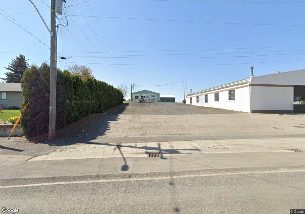
15810 S Highway 195 Spangle, WA 99031
Estimated Value: $376,833 - $428,000
4
Beds
1
Bath
1,596
Sq Ft
$252/Sq Ft
Est. Value
About This Home
This home is located at 15810 S Highway 195, Spangle, WA 99031 and is currently estimated at $402,458, approximately $252 per square foot. 15810 S Highway 195 is a home located in Spokane County with nearby schools including Liberty Elementary/Junior High School and Liberty High School.
Ownership History
Date
Name
Owned For
Owner Type
Purchase Details
Closed on
Apr 29, 2010
Sold by
Tiffany Lloyd D and Tiffany Marilyn J
Bought by
Haggerty Michael L and Haggerty Mary K
Current Estimated Value
Home Financials for this Owner
Home Financials are based on the most recent Mortgage that was taken out on this home.
Original Mortgage
$162,011
Outstanding Balance
$107,896
Interest Rate
4.92%
Mortgage Type
FHA
Estimated Equity
$294,562
Create a Home Valuation Report for This Property
The Home Valuation Report is an in-depth analysis detailing your home's value as well as a comparison with similar homes in the area
Home Values in the Area
Average Home Value in this Area
Purchase History
| Date | Buyer | Sale Price | Title Company |
|---|---|---|---|
| Haggerty Michael L | $165,280 | Pacific Northwest Title |
Source: Public Records
Mortgage History
| Date | Status | Borrower | Loan Amount |
|---|---|---|---|
| Open | Haggerty Michael L | $162,011 |
Source: Public Records
Tax History Compared to Growth
Tax History
| Year | Tax Paid | Tax Assessment Tax Assessment Total Assessment is a certain percentage of the fair market value that is determined by local assessors to be the total taxable value of land and additions on the property. | Land | Improvement |
|---|---|---|---|---|
| 2025 | $2,514 | $313,190 | $106,990 | $206,200 |
| 2024 | $2,514 | $298,010 | $88,610 | $209,400 |
| 2023 | $2,349 | $293,340 | $62,540 | $230,800 |
| 2022 | $2,131 | $287,240 | $62,540 | $224,700 |
| 2021 | $1,903 | $178,320 | $45,620 | $132,700 |
| 2020 | $1,870 | $167,720 | $45,620 | $122,100 |
| 2019 | $1,629 | $155,820 | $44,120 | $111,700 |
| 2018 | $1,829 | $148,620 | $44,120 | $104,500 |
| 2017 | $1,723 | $146,700 | $43,200 | $103,500 |
| 2016 | $1,566 | $144,680 | $42,080 | $102,600 |
| 2015 | $1,749 | $153,040 | $43,140 | $109,900 |
| 2014 | -- | $147,610 | $43,110 | $104,500 |
| 2013 | -- | $0 | $0 | $0 |
Source: Public Records
Map
Nearby Homes
- 15010 S Stentz Rd
- 1323 W Paradise Rd
- 1305 E Wildflower Ln
- 1607 E Wildflower Ln
- 618 E Washington Rd
- 13417 S Bluegrouse Ln
- 13110 S Fairway Ridge Ln
- 177XX S Smythe Rd
- 2410 E Hangman Creek Ln
- 16621 S Sherman Rd
- 18616 S Smythe Rd
- 17305 S Blasted Ln
- 2106 E Turnberry Ln
- 12102 S Troon Ln
- 2418 E Casper Dr
- 16619 S Sherman Rd
- 2514 E Casper Dr Unit 2516
- 2516 E Casper Dr Unit 2514
- 16771 S Sherman Rd
- 13625 S Sherman Rd
- 15810 S Sr 195
- 16123 S Highway 195
- 16123 S Hwy 195
- 16123 S Highway 195
- 16123 S Highway 195
- 16123 S State Route 195
- 16123 S 195 Hwy
- 16303 S Yancey Ln
- 16304 S Yancey Ln
- 11 E Stutler Rd
- 25 E Stutler Rd
- 16406 S Yancey Ln
- 108 E Paradise Rd
- 104 E Paradise Rd
- 15205 S Highway 195
- 15205 S Highway 195
- TBD E Paradise Rd
- 24 E Paradise Rd
- 52 E Paradise Rd
- 39 E Stutler Rd
