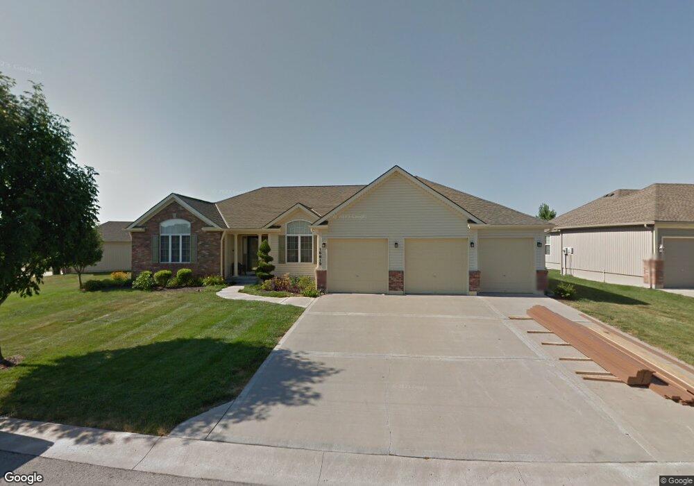
15813 E 27th St S Independence, MO 64055
Hanthorn NeighborhoodEstimated Value: $443,000 - $560,421
4
Beds
5
Baths
2,234
Sq Ft
$224/Sq Ft
Est. Value
About This Home
This home is located at 15813 E 27th St S, Independence, MO 64055 and is currently estimated at $500,855, approximately $224 per square foot. 15813 E 27th St S is a home located in Jackson County with nearby schools including Sycamore Hills Elementary School, Bridger Middle School, and Pioneer Ridge Middle School.
Ownership History
Date
Name
Owned For
Owner Type
Purchase Details
Closed on
Mar 30, 2015
Sold by
Cary Fern L
Bought by
Cary Fern L and Fern L Mullikin Living Trust
Current Estimated Value
Purchase Details
Closed on
May 2, 2006
Sold by
Mullikin Fern L
Bought by
Mullikin Fern L and Fern L Mullikin Living Trust
Purchase Details
Closed on
Apr 5, 2006
Sold by
Reilley Alberta F and Reilley Olaf F
Bought by
Reilley Alberta F and Reilley Olaf F
Purchase Details
Closed on
Apr 29, 2005
Sold by
T E Woods Construction Inc
Bought by
Mullikin Fern L and Relley Alberta F
Create a Home Valuation Report for This Property
The Home Valuation Report is an in-depth analysis detailing your home's value as well as a comparison with similar homes in the area
Home Values in the Area
Average Home Value in this Area
Purchase History
| Date | Buyer | Sale Price | Title Company |
|---|---|---|---|
| Cary Fern L | -- | None Available | |
| Mullikin Fern L | -- | None Available | |
| Reilley Alberta F | -- | None Available | |
| Mullikin Fern L | -- | First American Title |
Source: Public Records
Tax History
| Year | Tax Paid | Tax Assessment Tax Assessment Total Assessment is a certain percentage of the fair market value that is determined by local assessors to be the total taxable value of land and additions on the property. | Land | Improvement |
|---|---|---|---|---|
| 2025 | $7,388 | $111,770 | $11,193 | $100,577 |
| 2024 | $7,220 | $106,639 | $4,499 | $102,140 |
| 2023 | $7,220 | $106,640 | $10,076 | $96,564 |
| 2022 | $6,386 | $86,450 | $10,503 | $75,947 |
| 2021 | $6,383 | $86,450 | $10,503 | $75,947 |
| 2020 | $5,736 | $75,489 | $10,503 | $64,986 |
| 2019 | $5,644 | $75,489 | $10,503 | $64,986 |
| 2018 | $1,642,624 | $65,699 | $9,141 | $56,558 |
| 2017 | $5,146 | $65,699 | $9,141 | $56,558 |
| 2016 | $4,519 | $57,129 | $8,219 | $48,910 |
Source: Public Records
Map
Nearby Homes
- 2724 S Woodbury Dr
- 2800 S Woodbury Dr
- 2705 S Haden Ct
- 15917 E 29th Street Ct S
- 921 E Manor Rd
- 16409 E 31st St S
- 0 Multi Address N A Unit HMS2588688
- 2417 S Ellison Way
- 3105 Porter Rd
- 16600 E 31st St S
- 735 E Devon St
- 718 E Gudgell Ave
- 1954 S Lake Terrace
- 2119 S Lees Summit Rd
- 1124 S Haden St
- 660 E Red Rd
- 3219 Vest St
- 816 S Woodbury St
- 1215 E South Ave
- 1040 E Stone St
- 15809 E 27th St S
- 15812 E 27th St S
- 2708 S Breckenridge Dr
- 15816 E 27th St S
- 15808 E 27th St S
- 15820 E 27th St S
- 2701 S Woodbury Dr
- 15800 E 27th St S
- 2716 S Breckenridge Dr
- 2709 S Woodbury Dr
- 2722 S Brentwood Dr S
- 2701 S Breckenridge Dr
- 2709 S Breckenridge Dr
- 2700 S Woodbury Dr
- 2713 S Breckenridge Dr
- 2717 S Brentwood Dr S
- 2717 S Breckenridge Dr
- 2713 S Woodbury Dr
- 2726 S Brentwood Dr S
- 2711 S Brentwood Dr S
Your Personal Tour Guide
Ask me questions while you tour the home.