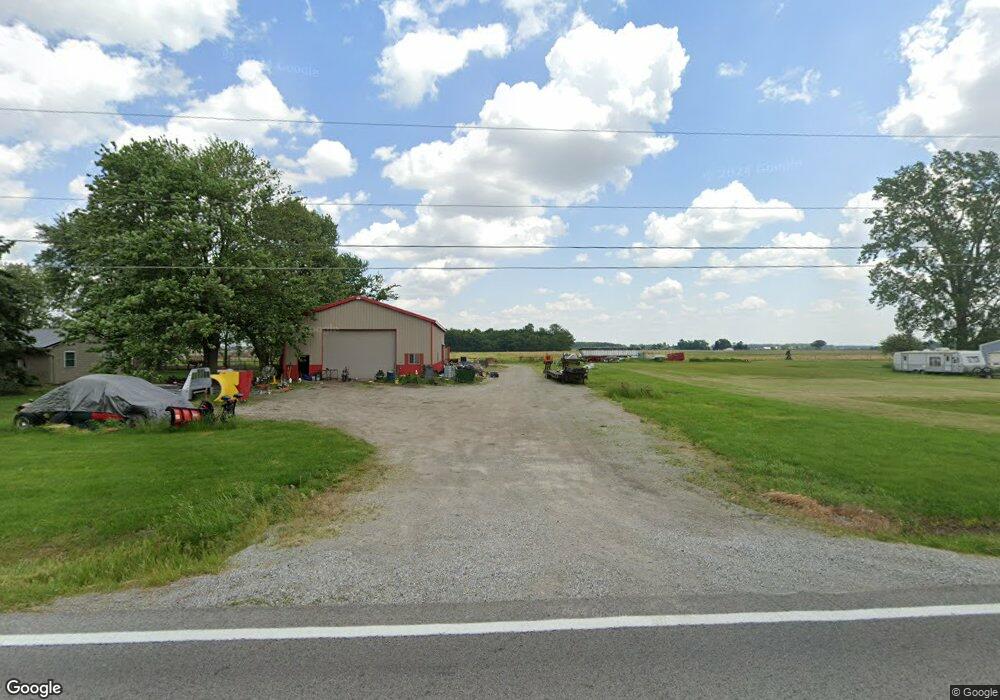
15828 Otsego Pike Weston, OH 43569
Estimated Value: $239,000 - $266,203
3
Beds
2
Baths
2,020
Sq Ft
$126/Sq Ft
Est. Value
About This Home
This home is located at 15828 Otsego Pike, Weston, OH 43569 and is currently estimated at $253,801, approximately $125 per square foot. 15828 Otsego Pike is a home located in Wood County with nearby schools including Otsego Elementary School, Otsego Junior High School, and Otsego High School.
Ownership History
Date
Name
Owned For
Owner Type
Purchase Details
Closed on
Jan 15, 2025
Sold by
Creps Aaron D and Creps Stacey O
Bought by
Aaron D Creps Trust and Stacey O Creps Trust
Current Estimated Value
Purchase Details
Closed on
Jun 12, 1998
Sold by
Mccoy George E and Mccoy Dorothy M
Bought by
Creps Aaron D and Creps Stacey O
Home Financials for this Owner
Home Financials are based on the most recent Mortgage that was taken out on this home.
Original Mortgage
$86,450
Interest Rate
7.22%
Purchase Details
Closed on
Apr 11, 1990
Bought by
Mccoy George E
Create a Home Valuation Report for This Property
The Home Valuation Report is an in-depth analysis detailing your home's value as well as a comparison with similar homes in the area
Home Values in the Area
Average Home Value in this Area
Purchase History
| Date | Buyer | Sale Price | Title Company |
|---|---|---|---|
| Aaron D Creps Trust | -- | None Listed On Document | |
| Aaron D Creps Trust | -- | None Listed On Document | |
| Creps Aaron D | $91,000 | American Title Agency | |
| Mccoy George E | -- | -- |
Source: Public Records
Mortgage History
| Date | Status | Borrower | Loan Amount |
|---|---|---|---|
| Previous Owner | Creps Aaron D | $86,450 |
Source: Public Records
Tax History Compared to Growth
Tax History
| Year | Tax Paid | Tax Assessment Tax Assessment Total Assessment is a certain percentage of the fair market value that is determined by local assessors to be the total taxable value of land and additions on the property. | Land | Improvement |
|---|---|---|---|---|
| 2024 | $2,838 | $70,455 | $12,320 | $58,135 |
| 2023 | $2,838 | $70,460 | $12,320 | $58,140 |
| 2021 | $2,707 | $60,660 | $10,570 | $50,090 |
| 2020 | $2,693 | $60,660 | $10,570 | $50,090 |
| 2019 | $2,452 | $53,590 | $10,400 | $43,190 |
| 2018 | $2,389 | $53,590 | $10,400 | $43,190 |
| 2017 | $2,333 | $53,590 | $10,400 | $43,190 |
| 2016 | $2,094 | $49,070 | $10,010 | $39,060 |
| 2015 | $2,094 | $49,070 | $10,010 | $39,060 |
| 2014 | $2,185 | $49,070 | $10,010 | $39,060 |
| 2013 | $2,390 | $49,070 | $10,010 | $39,060 |
Source: Public Records
Map
Nearby Homes
- 0 Otsego Pike Unit 6136991
- 15255 Van Tassel Rd
- 19393 U S 6
- 19330 Tuller Rd
- 20553 Euler Rd
- 16710 Potter Rd
- 22888 Wintergreen Rd
- 0 Kellogg Rd Unit 6125521
- 20391 Brown Ln
- 22327 U S 6
- 20410 Oak St
- 17884 Euler Rd
- 20525 Locust St
- 18735 Main St
- 0 Scott Rd
- 0 Wall St
- 16920 Long Judson Rd
- 18142 Tontogany Rd
- 16896 Long Judson Rd
- 18555 Crom St