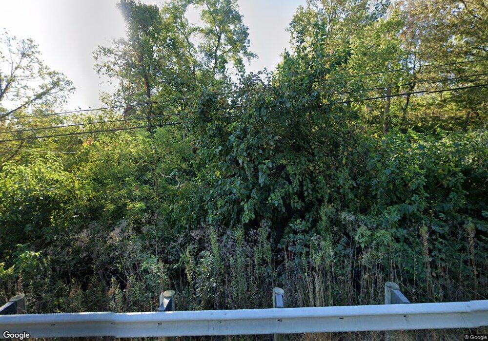
1583 E Us Highway 22 and 3 Morrow, OH 45152
Hamilton Township NeighborhoodEstimated Value: $374,690 - $447,000
3
Beds
2
Baths
1,854
Sq Ft
$218/Sq Ft
Est. Value
About This Home
This home is located at 1583 E Us Highway 22 and 3, Morrow, OH 45152 and is currently estimated at $403,673, approximately $217 per square foot. 1583 E Us Highway 22 and 3 is a home located in Warren County with nearby schools including Little Miami Early Childhood Center, Little Miami Intermediate Middle School, and Little Miami Middle School.
Ownership History
Date
Name
Owned For
Owner Type
Purchase Details
Closed on
Aug 18, 2022
Sold by
Oeder Brian R
Bought by
Oeder Property Enterprises Llc
Current Estimated Value
Purchase Details
Closed on
Aug 15, 2022
Sold by
Oeder Richard L
Bought by
Oeder Property Enterprises Llc
Purchase Details
Closed on
Aug 29, 1996
Sold by
Daniel C Lippmeir
Bought by
Oeder Richard L and Oeder Brian R
Create a Home Valuation Report for This Property
The Home Valuation Report is an in-depth analysis detailing your home's value as well as a comparison with similar homes in the area
Home Values in the Area
Average Home Value in this Area
Purchase History
| Date | Buyer | Sale Price | Title Company |
|---|---|---|---|
| Oeder Property Enterprises Llc | -- | None Listed On Document | |
| Oeder Property Enterprises Llc | -- | None Listed On Document | |
| Oeder Richard L | $130,000 | -- |
Source: Public Records
Tax History Compared to Growth
Tax History
| Year | Tax Paid | Tax Assessment Tax Assessment Total Assessment is a certain percentage of the fair market value that is determined by local assessors to be the total taxable value of land and additions on the property. | Land | Improvement |
|---|---|---|---|---|
| 2024 | $4,317 | $94,890 | $50,330 | $44,560 |
| 2023 | $3,693 | $72,453 | $32,959 | $39,494 |
| 2022 | $3,650 | $72,454 | $32,960 | $39,494 |
| 2021 | $3,479 | $72,454 | $32,960 | $39,494 |
| 2020 | $3,313 | $58,905 | $26,796 | $32,109 |
| 2019 | $3,368 | $58,905 | $26,796 | $32,109 |
| 2018 | $3,303 | $58,905 | $26,796 | $32,109 |
| 2017 | $2,916 | $52,178 | $23,237 | $28,942 |
| 2016 | $2,987 | $52,178 | $23,237 | $28,942 |
| 2015 | $2,985 | $52,178 | $23,237 | $28,942 |
| 2014 | $3,079 | $48,670 | $22,360 | $26,310 |
| 2013 | $3,029 | $55,550 | $24,080 | $31,470 |
Source: Public Records
Map
Nearby Homes
- 5518 Chancellor Ln
- 1835 Chardonnay Dr
- 5253 Secretariat Dr
- 920 Pondside Ln
- 5004 Ross Ridge
- 5004 Ross Ridge Rd
- 5234 Highmeadow Place
- 5079 Ross Ridge
- 5079 Ross Ridge Rd
- 1870 Ford Rd
- 809 Emerald Dr
- BEACHWOOD Plan at Highmeadow
- SARASOTA Plan at Highmeadow
- ALWICK Plan at Highmeadow
- ALEXANDER Plan at Highmeadow
- VALE Plan at Highmeadow
- ASHTON Plan at Highmeadow
- ATWELL Plan at Highmeadow
- SAXON Plan at Highmeadow
- QUENTIN Plan at Highmeadow
- 1659 E Us Highway 22 and 3
- A Us Rt 22 & 3
- 1660 E Us Highway 22 and 3
- 1693 E Us Highway 22 and 3
- 1660 Us Rt 22 & 3 Unit 2
- 1660 Us Rt 22 & 3
- 1438 E Us Highway 22 and 3
- 1735 E U S 22
- 1735 E Us Highway 22 and 3
- 1732 E Us Highway 22 and 3
- 1753 E Us Highway 22 and 3
- 1434 E Us Highway 22 and 3
- 5621 Chancellor Ln
- 1410 E Us Highway 22 and 3
- 5643 Chancellor Ln
- 5603 Chancellor Ln
- 1798 E Us Highway 22 and 3
- 1364 E Us Highway 22 and 3
- 1827 E Us Highway 22 and 3
- 1354 E Us Highway 22 and 3
