1583 Sam Mull Dr Morganton, NC 28655
Lake James NeighborhoodEstimated Value: $784,000 - $1,680,176
1
Bed
1
Bath
376
Sq Ft
$3,437/Sq Ft
Est. Value
About This Home
This home is located at 1583 Sam Mull Dr, Morganton, NC 28655 and is currently estimated at $1,292,392, approximately $3,437 per square foot. 1583 Sam Mull Dr is a home located in Burke County with nearby schools including Glen Alpine Elementary School, Table Rock Middle School, and Freedom High School.
Ownership History
Date
Name
Owned For
Owner Type
Purchase Details
Closed on
Mar 31, 2023
Sold by
Salsbury Mary Marcia T and Salsbury Robert B
Bought by
Veazey John and Veazey Lindsay
Current Estimated Value
Home Financials for this Owner
Home Financials are based on the most recent Mortgage that was taken out on this home.
Original Mortgage
$100,000
Outstanding Balance
$97,038
Interest Rate
6.25%
Mortgage Type
New Conventional
Estimated Equity
$1,195,354
Create a Home Valuation Report for This Property
The Home Valuation Report is an in-depth analysis detailing your home's value as well as a comparison with similar homes in the area
Home Values in the Area
Average Home Value in this Area
Purchase History
| Date | Buyer | Sale Price | Title Company |
|---|---|---|---|
| Veazey John | $1,500,000 | None Listed On Document | |
| Veazey John | $1,500,000 | -- |
Source: Public Records
Mortgage History
| Date | Status | Borrower | Loan Amount |
|---|---|---|---|
| Open | Veazey John | $100,000 | |
| Closed | Veazey John | $100,000 |
Source: Public Records
Tax History Compared to Growth
Tax History
| Year | Tax Paid | Tax Assessment Tax Assessment Total Assessment is a certain percentage of the fair market value that is determined by local assessors to be the total taxable value of land and additions on the property. | Land | Improvement |
|---|---|---|---|---|
| 2025 | $5,934 | $905,486 | $329,200 | $576,286 |
| 2024 | $5,971 | $905,486 | $329,200 | $576,286 |
| 2023 | $5,600 | $847,434 | $274,825 | $572,609 |
| 2022 | $5,278 | $670,407 | $332,950 | $337,457 |
| 2021 | $5,302 | $670,407 | $332,950 | $337,457 |
| 2020 | $5,302 | $670,407 | $332,950 | $337,457 |
| 2019 | $5,306 | $670,407 | $332,950 | $337,457 |
| 2018 | $4,095 | $513,650 | $205,900 | $307,750 |
| 2017 | $4,098 | $513,650 | $205,900 | $307,750 |
| 2016 | $3,520 | $447,926 | $205,900 | $242,026 |
| 2015 | $1,974 | $400,964 | $205,900 | $195,064 |
| 2014 | $1,979 | $244,128 | $205,000 | $39,128 |
| 2013 | $1,993 | $244,128 | $205,000 | $39,128 |
Source: Public Records
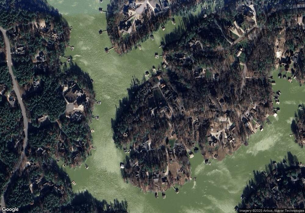
Map
Nearby Homes
- 1441 Pheasant Run Ct
- 1441 Southpointe Dr Unit 249
- 3100 E Moonlight Place Unit 42
- 1416 Southpointe Dr
- 2148 E Bluewater Dr
- 1387 Cedar Branch Ln
- 2108 E Bluewater Dr
- 3107 Channel View Cove
- 4625 Boyd Moore Ave
- 1513 Brentwood Place
- 0 Boyd Moore Ave Unit CAR3848175
- 1504 Brentwood Place
- 4617 Harbor View Terrace
- 1590 Hawks Pointe Ln
- 1277 Northview Dr
- 5619 Channel View Cove
- 1600 Lillians Point Ct Unit 33
- 2018 Starlight Ln
- 2033 Starlight Ln Unit 111
- 3375 Nc 126
- 1555 Sam Mull Dr
- 1586 Harris Whisnant Rd
- 1560 Sam Mull Dr
- 1592 Sam Mull Dr
- 1544 Harris Whisnant Rd
- 4761 Summer Place
- 1596 Harris Whisnant Rd
- 1600 Linville Point
- 1601 Harris Whisnant Rd
- 1519 Harris Whisnant Rd
- 4785 Summer Place
- 4795 Summer Place
- 4775 Summer Place
- 1508 Harris Whisnant Rd
- 4941 Camden Pointe Dr
- 1631 Linville Point
- 4820 Linville Cove Ct
- 1620 Linville Point Unit 1622
- 4932 Camden Pointe Dr Unit 243
- 1630 Linville Point Unit 6