1583 W Side Rd Block Island, RI 02807
Estimated Value: $1,978,625 - $3,231,000
4
Beds
4
Baths
2,604
Sq Ft
$921/Sq Ft
Est. Value
About This Home
This home is located at 1583 W Side Rd, Block Island, RI 02807 and is currently estimated at $2,397,656, approximately $920 per square foot. 1583 W Side Rd is a home with nearby schools including Block Island School.
Ownership History
Date
Name
Owned For
Owner Type
Purchase Details
Closed on
Oct 9, 2025
Sold by
Carley Robert T and Carley Sheridan F
Bought by
Robert T Carley Lt and Carley
Current Estimated Value
Purchase Details
Closed on
Apr 1, 1987
Bought by
Carley Sheridan F and Carley Robert T
Create a Home Valuation Report for This Property
The Home Valuation Report is an in-depth analysis detailing your home's value as well as a comparison with similar homes in the area
Home Values in the Area
Average Home Value in this Area
Purchase History
| Date | Buyer | Sale Price | Title Company |
|---|---|---|---|
| Robert T Carley Lt | -- | -- | |
| Carley Sheridan F | -- | -- |
Source: Public Records
Mortgage History
| Date | Status | Borrower | Loan Amount |
|---|---|---|---|
| Previous Owner | Carley Sheridan F | $50,000 |
Source: Public Records
Tax History Compared to Growth
Tax History
| Year | Tax Paid | Tax Assessment Tax Assessment Total Assessment is a certain percentage of the fair market value that is determined by local assessors to be the total taxable value of land and additions on the property. | Land | Improvement |
|---|---|---|---|---|
| 2024 | $8,643 | $1,565,700 | $418,700 | $1,147,000 |
| 2023 | $9,426 | $1,565,700 | $418,700 | $1,147,000 |
| 2022 | $6,528 | $922,000 | $371,760 | $550,240 |
| 2021 | $5,380 | $803,040 | $371,760 | $431,280 |
| 2020 | $4,457 | $700,800 | $371,760 | $329,040 |
| 2019 | $4,317 | $700,800 | $371,760 | $329,040 |
| 2018 | $4,314 | $724,960 | $371,760 | $353,200 |
| 2017 | $4,248 | $724,960 | $371,760 | $353,200 |
| 2016 | $4,147 | $724,960 | $371,760 | $353,200 |
| 2015 | $5,076 | $921,300 | $464,700 | $456,600 |
| 2014 | $4,920 | $921,300 | $464,700 | $456,600 |
| 2013 | $4,800 | $921,300 | $464,700 | $456,600 |
Source: Public Records
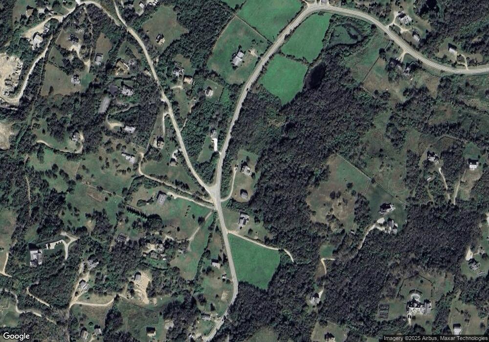
Map
Nearby Homes
- 1557 W Side Rd
- 1210 Graces Cove Rd
- 0 Coast Guard Rd
- 1501 Beacon Hill Rd
- 1596 W Side Rd
- 481 Old Town Rd
- 1087 Lakeside Dr
- 1328 Cooneymus Rd
- 1743 Corn Neck Rd
- 1713 Corn Neck Rd
- 1720 Corn Neck Rd
- 256 High St
- 1661 Sand Pond Rd
- 1289 High St
- 194 Pilot Hill Rd
- 0 Snake Hole Rd
- 721 Corn Neck Rd
- 1448 Mohegan Trail
- 1078 W Beach Rd
- 1035 Mohegan Trail
- 847 W Side Rd
- 1270 W Side Rd
- 1593 W Side Rd
- 852 W Side Rd
- 1592 W Side Rd
- 1012 W Side Rd
- 851 W Side Rd
- 933 Graces Cove Rd
- 1524 W Side Rd
- 934 Graces Cove Rd
- 849 W Side Rd
- 0 Off West Side Rd Unit 1067606
- 0 Off West Side Rd Unit 1097466
- 0 Off West Side Rd Unit 1202751
- 0 Off West Side Rd Unit 1229530
- 0 Off West Side Rd Unit 1024616
- 0 Off West Side Rd Unit 1259866
- 1541 W Side Rd
- 1013 W Side Rd
- 1108 Graces Cove Rd