15832 Bobolink Dr Woodbridge, VA 22191
Marumsco Woods NeighborhoodEstimated Value: $579,000 - $600,748
4
Beds
3
Baths
3,060
Sq Ft
$193/Sq Ft
Est. Value
About This Home
This home is located at 15832 Bobolink Dr, Woodbridge, VA 22191 and is currently estimated at $590,687, approximately $193 per square foot. 15832 Bobolink Dr is a home located in Prince William County with nearby schools including Leesylvania Elementary School, Rippon Middle School, and Freedom High School.
Ownership History
Date
Name
Owned For
Owner Type
Purchase Details
Closed on
Jul 13, 2010
Sold by
Lahaye Dwayne A and Lahaye Kathryn A
Bought by
Barnes Rhonda P
Current Estimated Value
Home Financials for this Owner
Home Financials are based on the most recent Mortgage that was taken out on this home.
Original Mortgage
$315,748
Outstanding Balance
$210,133
Interest Rate
4.75%
Mortgage Type
FHA
Estimated Equity
$380,554
Purchase Details
Closed on
Sep 2, 2003
Sold by
Nvr Inc
Bought by
Lahaye Dwayne
Home Financials for this Owner
Home Financials are based on the most recent Mortgage that was taken out on this home.
Original Mortgage
$295,500
Interest Rate
5.69%
Mortgage Type
New Conventional
Create a Home Valuation Report for This Property
The Home Valuation Report is an in-depth analysis detailing your home's value as well as a comparison with similar homes in the area
Home Values in the Area
Average Home Value in this Area
Purchase History
| Date | Buyer | Sale Price | Title Company |
|---|---|---|---|
| Barnes Rhonda P | $320,000 | Commonwealth Land Title Insu | |
| Lahaye Dwayne | $369,409 | -- |
Source: Public Records
Mortgage History
| Date | Status | Borrower | Loan Amount |
|---|---|---|---|
| Open | Barnes Rhonda P | $315,748 | |
| Previous Owner | Lahaye Dwayne | $295,500 |
Source: Public Records
Tax History Compared to Growth
Tax History
| Year | Tax Paid | Tax Assessment Tax Assessment Total Assessment is a certain percentage of the fair market value that is determined by local assessors to be the total taxable value of land and additions on the property. | Land | Improvement |
|---|---|---|---|---|
| 2025 | $5,268 | $551,100 | $179,600 | $371,500 |
| 2024 | $5,268 | $529,700 | $172,700 | $357,000 |
| 2023 | $5,184 | $498,200 | $161,400 | $336,800 |
| 2022 | $5,079 | $458,600 | $148,100 | $310,500 |
| 2021 | $4,886 | $400,300 | $128,800 | $271,500 |
| 2020 | $5,991 | $386,500 | $123,800 | $262,700 |
| 2019 | $5,806 | $374,600 | $120,200 | $254,400 |
| 2018 | $4,388 | $363,400 | $115,600 | $247,800 |
| 2017 | $4,390 | $356,100 | $112,800 | $243,300 |
| 2016 | $4,316 | $353,400 | $111,700 | $241,700 |
| 2015 | $3,970 | $335,700 | $105,800 | $229,900 |
| 2014 | $3,970 | $317,600 | $99,900 | $217,700 |
Source: Public Records
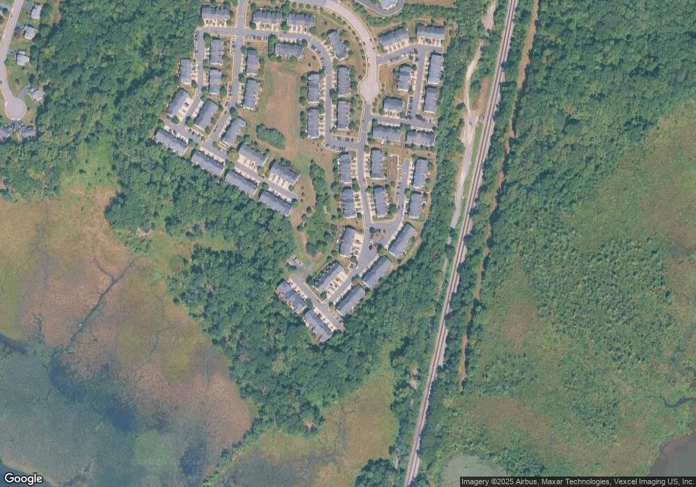
Map
Nearby Homes
- 1463 Fawn Hollow Ln
- 1601 Ladue Ct Unit 402
- 1621 Ladue Ct Unit 207
- 1621 Ladue Ct Unit 105
- 15678 Avocet Loop
- 1317 Rail Stop Dr
- 15636 Avocet Loop
- 15489 Marsh Overlook Dr
- 15417 Bald Eagle Ln
- 15538 Smoke Box Way
- 16254 Neabsco Beach Way
- 15356 Bald Eagle Ln
- 15214 Colorado Ave
- 1766 Ann Scarlet Ct
- 1508 Florida Ave
- 15381 Grist Mill Terrace
- 15361 Grist Mill Terrace
- 15353 Grist Mill Terrace
- 15116 Alaska Rd
- 16492 Hayes Ln
- 15834 Bobolink Dr
- 15830 Bobolink Dr
- 15836 Bobolink Dr
- 15828 Bobolink Dr
- 15840 Bobolink Dr
- 15824 Bobolink Dr
- 1330 Cranes Bill Way
- 15842 Bobolink Dr
- 15822 Bobolink Dr
- 15820 Bobolink Dr
- 15844 Bobolink Dr
- 15831 Bobolink Dr
- 15829 Bobolink Dr
- 15833 Bobolink Dr
- 15818 Bobolink Dr
- 15846 Bobolink Dr
- 15827 Bobolink Dr
- 15835 Bobolink Dr
- 15825 Bobolink Dr
- 15837 Bobolink Dr