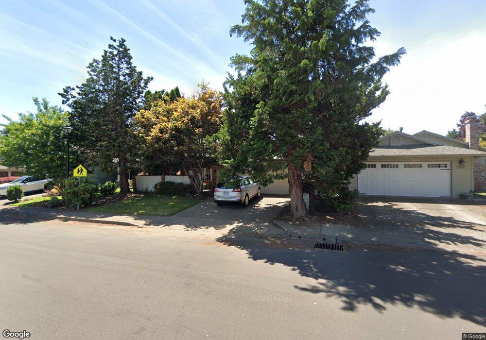
15835 SW 87th Ave Portland, OR 97224
Durham Road NeighborhoodEstimated Value: $510,000 - $536,396
3
Beds
2
Baths
1,400
Sq Ft
$375/Sq Ft
Est. Value
About This Home
This home is located at 15835 SW 87th Ave, Portland, OR 97224 and is currently estimated at $525,599, approximately $375 per square foot. 15835 SW 87th Ave is a home located in Washington County with nearby schools including Durham Elementary School, Twality Middle School, and Tigard High School.
Ownership History
Date
Name
Owned For
Owner Type
Purchase Details
Closed on
Jun 28, 1995
Sold by
Colhouer Jake and Colhouer Eileen F
Bought by
Hill Landy C and Hill Teri L
Current Estimated Value
Home Financials for this Owner
Home Financials are based on the most recent Mortgage that was taken out on this home.
Original Mortgage
$124,200
Interest Rate
7.88%
Mortgage Type
Purchase Money Mortgage
Create a Home Valuation Report for This Property
The Home Valuation Report is an in-depth analysis detailing your home's value as well as a comparison with similar homes in the area
Home Values in the Area
Average Home Value in this Area
Purchase History
| Date | Buyer | Sale Price | Title Company |
|---|---|---|---|
| Hill Landy C | $138,000 | First American Title Ins Co |
Source: Public Records
Mortgage History
| Date | Status | Borrower | Loan Amount |
|---|---|---|---|
| Closed | Hill Landy C | $124,200 |
Source: Public Records
Tax History Compared to Growth
Tax History
| Year | Tax Paid | Tax Assessment Tax Assessment Total Assessment is a certain percentage of the fair market value that is determined by local assessors to be the total taxable value of land and additions on the property. | Land | Improvement |
|---|---|---|---|---|
| 2025 | $4,507 | $264,330 | -- | -- |
| 2024 | $4,386 | $256,640 | -- | -- |
| 2023 | $4,386 | $249,170 | $0 | $0 |
| 2022 | $4,260 | $249,170 | $0 | $0 |
| 2021 | $4,153 | $234,880 | $0 | $0 |
| 2020 | $4,028 | $228,040 | $0 | $0 |
| 2019 | $3,854 | $221,400 | $0 | $0 |
| 2018 | $3,698 | $214,960 | $0 | $0 |
| 2017 | $3,564 | $208,700 | $0 | $0 |
| 2016 | $3,403 | $202,630 | $0 | $0 |
| 2015 | $3,271 | $196,730 | $0 | $0 |
| 2014 | $3,174 | $191,000 | $0 | $0 |
Source: Public Records
Map
Nearby Homes
- 8539 SW Avon St
- 15735 SW 88th Ave
- 8394 SW Durham Ln
- 8535 SW Schmidt Loop
- 8596 SW Schmidt Loop
- 15512 SW Everglade Ave
- 15432 SW Everglade Ave
- 15309 SW Regent Terrace
- 9430 SW Brentwood Place
- 8420 SW Norfolk Ct
- 8720 SW Reiling St
- 9590 SW Brentwood Place
- 7946 SW Churchill Way
- 9174 SW Waverly Dr
- 9020 SW Reiling St
- 15265 SW 94th Ave
- 14985 SW Leslie Ct
- 8801 SW Scheckla Dr
- 15411 SW Vanderwood Ave
- 15974 SW 76th Ave
- 15815 SW 87th Ave
- 15855 SW 87th Ave
- 15795 SW 87th Ave
- 15877 SW 87th Ave
- 15870 SW 88th Ave
- 15850 SW 88th Ave
- 8721 SW Avon St
- 8720 SW Avon St
- 15895 SW 87th Ave
- 15779 SW 87th Ave
- 15900 SW 88th Ave
- 8708 SW Avon St
- 8709 SW Avon St
- 15915 SW 87th Ave
- 15780 SW 87th Ave
- 15830 SW 88th Ave
- 8710 SW Stratford Ct
- 8840 SW Avon Ct
- 8656 SW Avon St
- 8657 SW Avon St