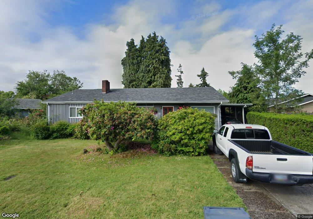
1584 Bar M Dr Eugene, OR 97401
Harlow NeighborhoodEstimated Value: $474,000 - $510,000
3
Beds
2
Baths
1,670
Sq Ft
$291/Sq Ft
Est. Value
About This Home
This home is located at 1584 Bar M Dr, Eugene, OR 97401 and is currently estimated at $485,436, approximately $290 per square foot. 1584 Bar M Dr is a home located in Lane County with nearby schools including Holt Elementary School, Monroe Middle School, and Sheldon High School.
Ownership History
Date
Name
Owned For
Owner Type
Purchase Details
Closed on
Jun 26, 2025
Sold by
Burns Denise and Burns Ralph
Bought by
Burns Living Trust and Burns
Current Estimated Value
Purchase Details
Closed on
Apr 13, 2021
Sold by
Powell Opal N and Rudy Powell Family Trust
Bought by
Powell Kelly
Home Financials for this Owner
Home Financials are based on the most recent Mortgage that was taken out on this home.
Original Mortgage
$73,400
Interest Rate
3%
Mortgage Type
New Conventional
Purchase Details
Closed on
Nov 17, 2004
Sold by
Robbins Denise and Burns Denise
Bought by
Burns Denise and Burns Ralph
Purchase Details
Closed on
Oct 14, 2003
Sold by
Larsen Kenneth H and Larsen Ruth V
Bought by
Robbins Denise
Home Financials for this Owner
Home Financials are based on the most recent Mortgage that was taken out on this home.
Original Mortgage
$133,875
Interest Rate
6.4%
Mortgage Type
Purchase Money Mortgage
Create a Home Valuation Report for This Property
The Home Valuation Report is an in-depth analysis detailing your home's value as well as a comparison with similar homes in the area
Home Values in the Area
Average Home Value in this Area
Purchase History
| Date | Buyer | Sale Price | Title Company |
|---|---|---|---|
| Burns Living Trust | -- | None Listed On Document | |
| Powell Kelly | -- | None Available | |
| Burns Denise | -- | -- | |
| Robbins Denise | $148,750 | Fidelity Natl Title Co Of Or |
Source: Public Records
Mortgage History
| Date | Status | Borrower | Loan Amount |
|---|---|---|---|
| Previous Owner | Powell Kelly | $73,400 | |
| Previous Owner | Robbins Denise | $133,875 |
Source: Public Records
Tax History
| Year | Tax Paid | Tax Assessment Tax Assessment Total Assessment is a certain percentage of the fair market value that is determined by local assessors to be the total taxable value of land and additions on the property. | Land | Improvement |
|---|---|---|---|---|
| 2025 | $4,011 | $205,870 | -- | -- |
| 2024 | $3,961 | $199,874 | -- | -- |
| 2023 | $3,961 | $194,053 | -- | -- |
| 2022 | $3,711 | $188,401 | $0 | $0 |
| 2021 | $3,486 | $182,914 | $0 | $0 |
| 2020 | $3,498 | $177,587 | $0 | $0 |
| 2019 | $3,378 | $172,415 | $0 | $0 |
| 2018 | $3,180 | $162,518 | $0 | $0 |
| 2017 | $3,037 | $162,518 | $0 | $0 |
| 2016 | $2,962 | $157,784 | $0 | $0 |
| 2015 | $2,877 | $153,188 | $0 | $0 |
| 2014 | $2,815 | $148,726 | $0 | $0 |
Source: Public Records
Map
Nearby Homes
- 2956 Willakenzie Rd
- 0 Sprig Ln Unit Lot 3
- 0 Sprig Ln Unit Lot 3 766109892
- 1491 Victorian Way
- 1564 Regency Dr
- 1630 Ridgley Blvd
- 1090 Corydon St
- 2580 Elysium Ave
- 950 Coburg Rd
- 2495 Jeppesen Acres Rd
- 2577 Elysium Ave
- 1271 Arcadia Dr
- 825 Waverly St
- 2872 Suffolk Ct
- 3700 Babcock Ln Unit 106
- 2746 Harlow Rd
- 2345 Pioneer Pike
- 2420 Willona Dr
- 600 Cherry Dr Unit 8
- 600 Cherry Dr Unit 3
- 2980 Willakenzie Rd
- 1573 Hackamore Way
- 1585 Hackamore Way
- 1589 Bar M Dr
- 2936 Willakenzie Rd
- 1577 Bar M Dr
- 3002 Willakenzie Rd
- 1597 Hackamore Way
- 1565 Roundup Dr
- 1563 Bar M Dr
- 1582 Hackamore Way
- 1574 Hackamore Way
- 2924 Willakenzie Rd
- 1555 Bar M Dr
- 1605 Adkins St
- 1562 Bar M Dr
- 1590 Hackamore Way
- 1580 Roundup Dr
- 1598 Martingale St
- 3006 Willakenzie Rd
Your Personal Tour Guide
Ask me questions while you tour the home.