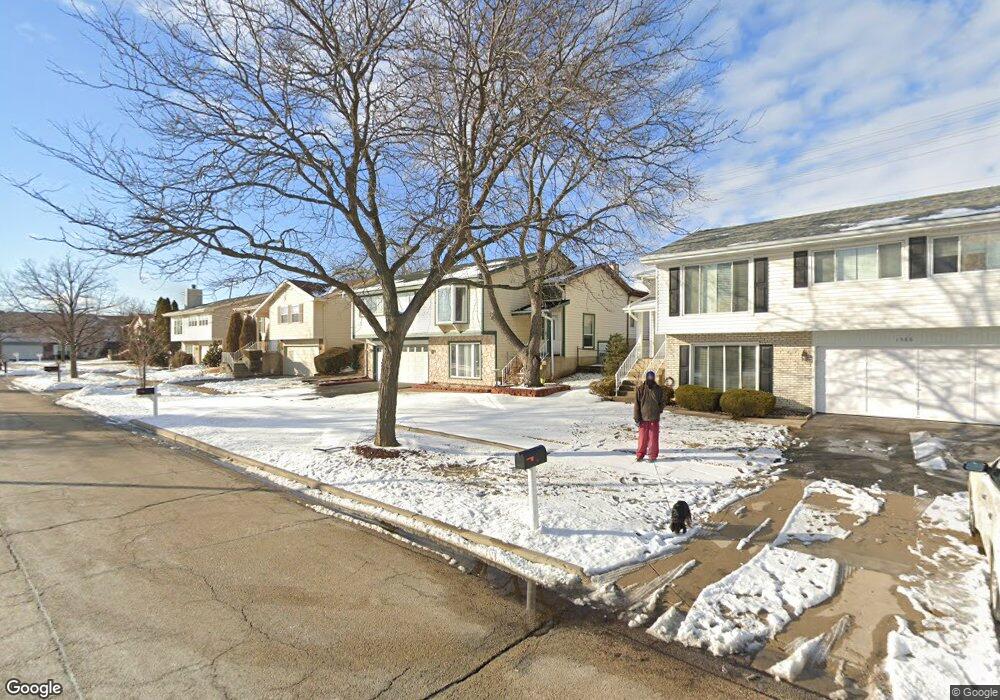
1584 Brookside Dr Hoffman Estates, IL 60169
South Hoffman Estates NeighborhoodEstimated Value: $398,000 - $418,000
4
Beds
3
Baths
1,722
Sq Ft
$236/Sq Ft
Est. Value
About This Home
This home is located at 1584 Brookside Dr, Hoffman Estates, IL 60169 and is currently estimated at $406,831, approximately $236 per square foot. 1584 Brookside Dr is a home located in Cook County with nearby schools including Neil Armstrong Elementary School, Dwight D Eisenhower Junior High School, and Hoffman Estates High School.
Ownership History
Date
Name
Owned For
Owner Type
Purchase Details
Closed on
Oct 16, 2023
Sold by
Patel Indravadan A and Patel Kailash I
Bought by
Indravadan A Patel And Kailash I Patel Living and Patel
Current Estimated Value
Purchase Details
Closed on
Jul 2, 2001
Sold by
Patel Kailash I
Bought by
Patel Indravadan A and Patel Kailash I
Home Financials for this Owner
Home Financials are based on the most recent Mortgage that was taken out on this home.
Original Mortgage
$180,000
Interest Rate
7.22%
Purchase Details
Closed on
Apr 19, 1999
Sold by
Zagone Martin J and Zagone Peggy Lynn
Bought by
Patel Kailash I
Home Financials for this Owner
Home Financials are based on the most recent Mortgage that was taken out on this home.
Original Mortgage
$154,000
Interest Rate
7.05%
Create a Home Valuation Report for This Property
The Home Valuation Report is an in-depth analysis detailing your home's value as well as a comparison with similar homes in the area
Home Values in the Area
Average Home Value in this Area
Purchase History
| Date | Buyer | Sale Price | Title Company |
|---|---|---|---|
| Indravadan A Patel And Kailash I Patel Living | -- | None Listed On Document | |
| Patel Indravadan A | -- | -- | |
| Patel Kailash I | $192,500 | -- |
Source: Public Records
Mortgage History
| Date | Status | Borrower | Loan Amount |
|---|---|---|---|
| Previous Owner | Patel Indravadan A | $180,000 | |
| Previous Owner | Patel Kailash I | $154,000 |
Source: Public Records
Tax History
| Year | Tax Paid | Tax Assessment Tax Assessment Total Assessment is a certain percentage of the fair market value that is determined by local assessors to be the total taxable value of land and additions on the property. | Land | Improvement |
|---|---|---|---|---|
| 2025 | $6,761 | $35,000 | $6,050 | $28,950 |
| 2024 | $6,761 | $28,000 | $5,500 | $22,500 |
| 2023 | $6,487 | $28,000 | $5,500 | $22,500 |
| 2022 | $6,487 | $28,000 | $5,500 | $22,500 |
| 2021 | $5,645 | $22,843 | $8,662 | $14,181 |
| 2020 | $5,647 | $22,843 | $8,662 | $14,181 |
| 2019 | $6,427 | $25,382 | $8,662 | $16,720 |
| 2018 | $6,987 | $24,862 | $7,562 | $17,300 |
| 2017 | $6,882 | $24,862 | $7,562 | $17,300 |
| 2016 | $6,663 | $24,862 | $7,562 | $17,300 |
| 2015 | $6,449 | $22,701 | $6,600 | $16,101 |
| 2014 | $6,352 | $22,701 | $6,600 | $16,101 |
| 2013 | $6,171 | $22,701 | $6,600 | $16,101 |
Source: Public Records
Map
Nearby Homes
- 1587 Brookside Dr
- 1612 Islandview Ct
- 1659 Islandview Ct
- 1880 Bonnie Ln Unit 416
- 1880 Bonnie Ln Unit 112
- 1724 Fayette Walk Unit J
- 1769 Sessions Walk Unit C
- 1712 Fayette Walk Unit D
- 2021 Kensington Ln Unit 3004
- 2027 Kensington Ln Unit 3001
- 2025 Kensington Ln Unit 3002
- 2023 Kensington Ln Unit 3003
- 1933 Williamsburg Dr Unit 1
- 2051 Kettering Rd Unit 2
- 1986 Brighton Ln Unit 2
- 1938 Huntington Blvd
- 1975 Windsong Dr Unit 333E1
- 2267 Briar Ct Unit 65
- 1930 Kenilworth Cir Unit E
- 1026 Denham Place Unit 1
- 1586 Brookside Dr
- 1582 Brookside Dr
- 1588 Brookside Dr
- 1580 Brookside Dr
- 1583 Brookside Dr
- 1590 Brookside Dr
- 1578 Brookside Dr
- 1581 Brookside Dr
- 1579 Brookside Dr
- 1592 Brookside Dr
- 1585 Brookside Dr
- 1576 Brookside Dr
- 1569 Brookside Dr
- 1966 Brookside Ln
- 1968 Brookside Ln
- 1593 Brookside Dr
- 1594 Brookside Dr
- 1589 Brookside Dr
- 1574 Brookside Dr
- 1559 Brookside Dr
Your Personal Tour Guide
Ask me questions while you tour the home.