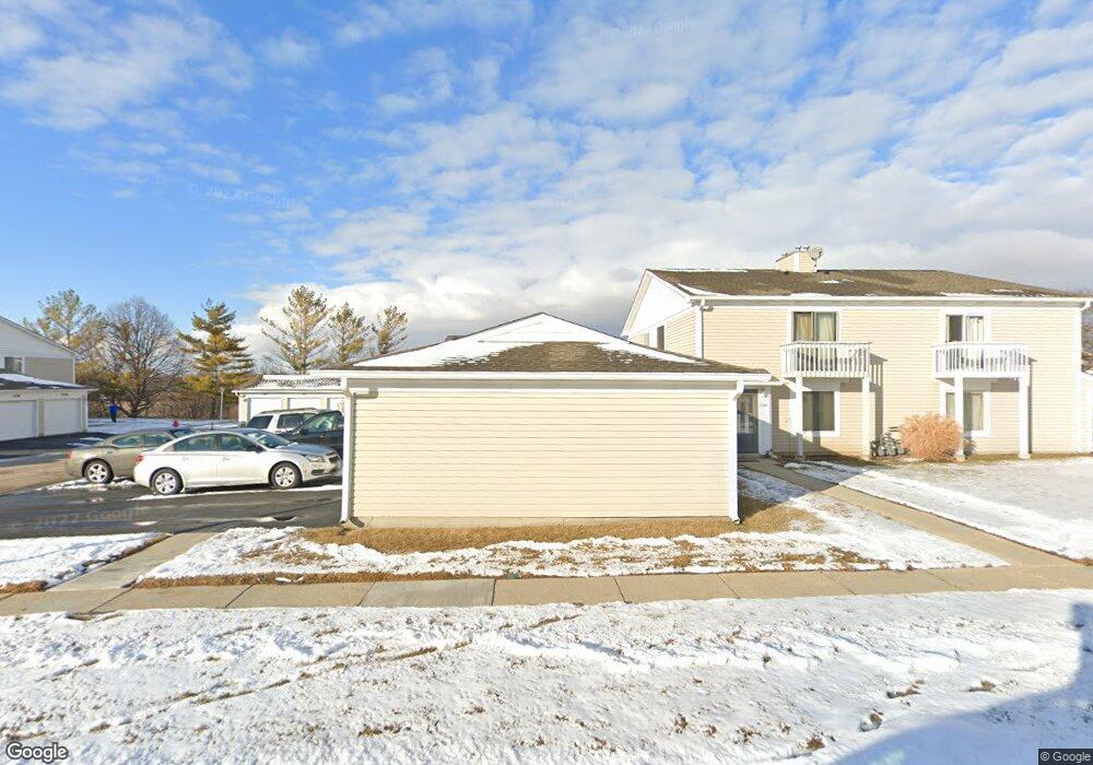
1584 Cornell Cir Unit 29C Hoffman Estates, IL 60169
South Hoffman Estates NeighborhoodEstimated Value: $182,643 - $242,000
2
Beds
--
Bath
1,000
Sq Ft
$221/Sq Ft
Est. Value
About This Home
This home is located at 1584 Cornell Cir Unit 29C, Hoffman Estates, IL 60169 and is currently estimated at $221,411, approximately $221 per square foot. 1584 Cornell Cir Unit 29C is a home located in Cook County with nearby schools including Neil Armstrong Elementary School, Dwight D Eisenhower Junior High School, and Hoffman Estates High School.
Ownership History
Date
Name
Owned For
Owner Type
Purchase Details
Closed on
Jan 24, 1997
Sold by
Schulman Lisa L
Bought by
Janovsky Robert J
Current Estimated Value
Home Financials for this Owner
Home Financials are based on the most recent Mortgage that was taken out on this home.
Original Mortgage
$68,500
Interest Rate
7.66%
Mortgage Type
Balloon
Create a Home Valuation Report for This Property
The Home Valuation Report is an in-depth analysis detailing your home's value as well as a comparison with similar homes in the area
Home Values in the Area
Average Home Value in this Area
Purchase History
| Date | Buyer | Sale Price | Title Company |
|---|---|---|---|
| Janovsky Robert J | $76,500 | -- |
Source: Public Records
Mortgage History
| Date | Status | Borrower | Loan Amount |
|---|---|---|---|
| Closed | Janovsky Robert J | $68,500 |
Source: Public Records
Tax History
| Year | Tax Paid | Tax Assessment Tax Assessment Total Assessment is a certain percentage of the fair market value that is determined by local assessors to be the total taxable value of land and additions on the property. | Land | Improvement |
|---|---|---|---|---|
| 2025 | $3,343 | $20,112 | $4,492 | $15,620 |
| 2024 | $3,343 | $14,210 | $4,083 | $10,127 |
| 2023 | $3,204 | $14,210 | $4,083 | $10,127 |
| 2022 | $3,204 | $14,210 | $4,083 | $10,127 |
| 2021 | $2,520 | $10,852 | $6,430 | $4,422 |
| 2020 | $2,536 | $10,852 | $6,430 | $4,422 |
| 2019 | $2,544 | $12,120 | $6,430 | $5,690 |
| 2018 | $1,583 | $8,291 | $5,614 | $2,677 |
| 2017 | $1,574 | $8,291 | $5,614 | $2,677 |
| 2016 | $1,726 | $8,291 | $5,614 | $2,677 |
| 2015 | $983 | $5,684 | $4,899 | $785 |
| 2014 | $983 | $5,684 | $4,899 | $785 |
| 2013 | $939 | $5,684 | $4,899 | $785 |
Source: Public Records
Map
Nearby Homes
- 1612 Islandview Ct
- 1587 Brookside Dr
- 1659 Islandview Ct
- 1880 Bonnie Ln Unit 416
- 1933 Williamsburg Dr Unit 1
- 1724 Fayette Walk Unit J
- 1769 Sessions Walk Unit C
- 2267 Briar Ct Unit 65
- 2051 Kettering Rd Unit 2
- 1986 Brighton Ln Unit 2
- 1800 Huntington Blvd Unit 208
- 1975 Windsong Dr Unit 333E1
- 2021 Kensington Ln Unit 3004
- 2027 Kensington Ln Unit 3001
- 2025 Kensington Ln Unit 3002
- 2023 Kensington Ln Unit 3003
- 1712 Fayette Walk Unit D
- 1700 Robin Ln Unit 1D
- 1026 Denham Place Unit 1
- 1938 Huntington Blvd
- 1586 Cornell Cir
- 1586 Cornell Cir Unit 29D
- 1580 Cornell Cir Unit 29A
- 1596 Cornell Cir Unit 28D
- 1592 Cornell Cir Unit 28B
- 1590 Cornell Cir Unit 28A
- 1590 Cornell Cir Unit 1
- 1572 Cornell Cir Unit 30C
- 1574 Cornell Cir Unit 30D
- 1570 Cornell Cir Unit 30B
- 1570 Cornell Cir Unit 1570
- 1576 Cornell Cir Unit 30A
- 1576 Cornell Cir Unit 1
- 1662 Cornell Dr Unit 27B
- 1676 Cornell Dr Unit 26A
- 1664 Cornell Dr Unit 27C
- 1666 Cornell Dr Unit 27D
- 1660 Cornell Dr Unit 27A
- 1670 Cornell Dr Unit 26B
- 1674 Cornell Dr
Your Personal Tour Guide
Ask me questions while you tour the home.