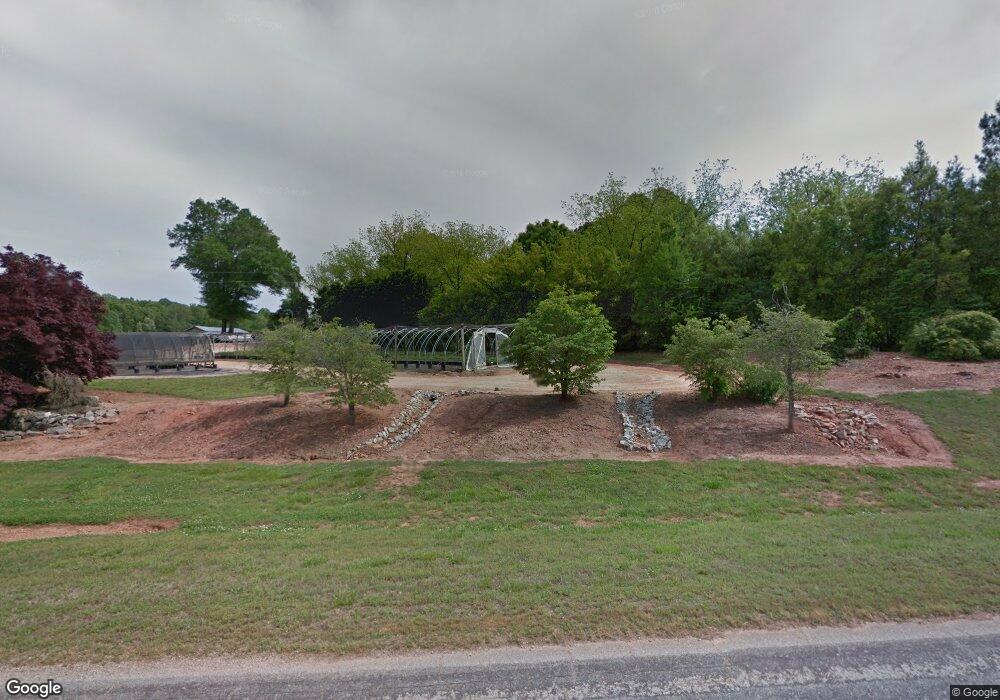
1584 Parkertown Rd Lavonia, GA 30553
Estimated Value: $255,000 - $482,000
--
Bed
2
Baths
2,826
Sq Ft
$117/Sq Ft
Est. Value
About This Home
This home is located at 1584 Parkertown Rd, Lavonia, GA 30553 and is currently estimated at $330,919, approximately $117 per square foot. 1584 Parkertown Rd is a home located in Hart County with nearby schools including Hart County High School.
Ownership History
Date
Name
Owned For
Owner Type
Purchase Details
Closed on
Mar 19, 2010
Sold by
Beasley Mary Shuss
Bought by
Hill Martha B
Current Estimated Value
Home Financials for this Owner
Home Financials are based on the most recent Mortgage that was taken out on this home.
Original Mortgage
$177,000
Outstanding Balance
$116,901
Interest Rate
4.91%
Mortgage Type
New Conventional
Estimated Equity
$214,018
Purchase Details
Closed on
Jan 1, 1997
Purchase Details
Closed on
Jan 1, 1968
Create a Home Valuation Report for This Property
The Home Valuation Report is an in-depth analysis detailing your home's value as well as a comparison with similar homes in the area
Home Values in the Area
Average Home Value in this Area
Purchase History
| Date | Buyer | Sale Price | Title Company |
|---|---|---|---|
| Hill Martha B | $177,000 | -- | |
| -- | -- | -- | |
| -- | -- | -- |
Source: Public Records
Mortgage History
| Date | Status | Borrower | Loan Amount |
|---|---|---|---|
| Open | Hill Martha B | $177,000 |
Source: Public Records
Tax History Compared to Growth
Tax History
| Year | Tax Paid | Tax Assessment Tax Assessment Total Assessment is a certain percentage of the fair market value that is determined by local assessors to be the total taxable value of land and additions on the property. | Land | Improvement |
|---|---|---|---|---|
| 2024 | $864 | $72,391 | $27,530 | $44,861 |
| 2023 | $732 | $58,956 | $19,730 | $39,226 |
| 2022 | $746 | $56,223 | $19,342 | $36,881 |
| 2021 | $633 | $45,589 | $12,536 | $33,053 |
| 2020 | $655 | $43,815 | $12,209 | $31,606 |
| 2019 | $660 | $43,750 | $12,209 | $31,541 |
| 2018 | $700 | $45,393 | $12,209 | $33,184 |
| 2017 | $696 | $45,026 | $12,209 | $32,817 |
| 2016 | $649 | $41,641 | $8,620 | $33,021 |
| 2015 | $655 | $43,741 | $10,631 | $33,110 |
| 2014 | $586 | $39,630 | $7,366 | $32,264 |
| 2013 | -- | $41,164 | $7,366 | $33,798 |
Source: Public Records
Map
Nearby Homes
- 0 Hwy 59 and Ross Place Unit 10499138
- 222 Charity Dr
- 181 Charity Dr
- 138 Victoria Ln
- 148 Allen Dr
- 56 Harriet Dr
- 68 Harriet Dr
- 125 Charity Dr
- 89 Huntington Dr
- 104 Powers Rd
- 3434 Highway 59
- 86 Luckie St
- 266 Randall St
- 49 Wright St Unit 65
- 55 Wright St Unit 67
- 57 Wright St Unit 68
- 51 Wright St Unit 66
- 45 Wright St Unit 64
- 59 Wright St Unit 69
- 5710 Vickery St
- 1429 Parkertown Rd
- 1264 Parkertown Rd
- 1491 Parkertown Rd
- 75 Bessie Rd
- 75 Bessie Rd
- 75 Bessie Rd
- 2976 Shoal Creek Rd
- 500 Wiley Rd
- 199 Beasley Rd
- 2530 Shoal Creek Rd
- 2478 Shoal Creek Rd
- 306 Beasley Rd
- 3029 Shoal Creek Rd
- 00 Lyle Ln
- 12 Park St
- 0 Seraphn Point Rd Unit 7 8461061
- Lot 7 Seraphn Point Rd
- Lot 7 Seraphn Point Rd Unit Lot 7
- 11 Tugaloo State Park Rd
- 0 Runway Rd Unit 8436208