1584 State Road Y New Bloomfield, MO 65063
Estimated Value: $372,000 - $651,000
--
Bed
--
Bath
2,298
Sq Ft
$220/Sq Ft
Est. Value
About This Home
This home is located at 1584 State Road Y, New Bloomfield, MO 65063 and is currently estimated at $504,639, approximately $219 per square foot. 1584 State Road Y is a home located in Callaway County with nearby schools including New Bloomfield Elementary School and New Bloomfield High School.
Ownership History
Date
Name
Owned For
Owner Type
Purchase Details
Closed on
Jun 25, 2019
Sold by
Woods Josh K and Woods Susan M
Bought by
Woods Ft
Current Estimated Value
Purchase Details
Closed on
Jan 18, 2013
Sold by
Mcspadden Star R and Richmond Star R
Bought by
Woods Josh K
Home Financials for this Owner
Home Financials are based on the most recent Mortgage that was taken out on this home.
Original Mortgage
$226,227
Interest Rate
3.33%
Mortgage Type
VA
Create a Home Valuation Report for This Property
The Home Valuation Report is an in-depth analysis detailing your home's value as well as a comparison with similar homes in the area
Home Values in the Area
Average Home Value in this Area
Purchase History
| Date | Buyer | Sale Price | Title Company |
|---|---|---|---|
| Woods Ft | -- | None Available | |
| Woods Josh K | -- | None Available |
Source: Public Records
Mortgage History
| Date | Status | Borrower | Loan Amount |
|---|---|---|---|
| Previous Owner | Woods Josh K | $226,227 |
Source: Public Records
Tax History Compared to Growth
Tax History
| Year | Tax Paid | Tax Assessment Tax Assessment Total Assessment is a certain percentage of the fair market value that is determined by local assessors to be the total taxable value of land and additions on the property. | Land | Improvement |
|---|---|---|---|---|
| 2024 | $3,407 | $60,159 | $0 | $0 |
| 2023 | $3,407 | $59,684 | $0 | $0 |
| 2022 | $3,372 | $59,684 | $1,249 | $58,435 |
| 2021 | $1,398 | $24,734 | $1,249 | $23,485 |
| 2020 | $1,399 | $24,734 | $1,249 | $23,485 |
| 2019 | $1,369 | $24,734 | $1,249 | $23,485 |
| 2018 | $1,375 | $24,743 | $1,258 | $23,485 |
| 2017 | $1,372 | $24,743 | $1,258 | $23,485 |
| 2016 | $1,191 | $21,430 | $0 | $0 |
| 2015 | $1,184 | $21,430 | $0 | $0 |
| 2014 | $1,191 | $21,420 | $0 | $0 |
Source: Public Records
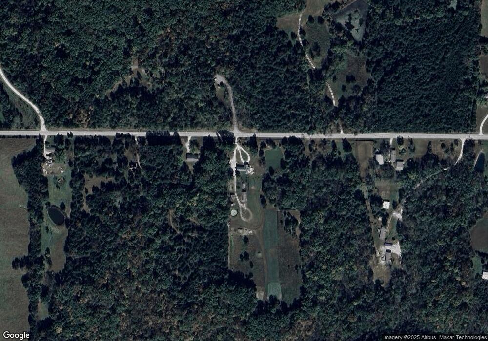
Map
Nearby Homes
- TBD County Road 375
- 0 County Road 375
- 8350 Dry Fork Acres Rd
- 2143 Milanda Lake Rd Unit A & B
- LOT 10&11 Lyndell Blvd
- 8430 County Road 349
- 0 Bland Crossing Unit 10071557
- 0 Bland Crossing Unit 131775
- 0 Bland Crossing Unit 430335
- 231 Elm Ave
- 845 State Road Mm
- 108 State Road Ae
- 13877 S Rangeline Rd
- TRACT 12 S Hagans Rd
- TRACT 11 S Hagans Rd
- TRACT 10 S Hagans Rd
- TRACT 9 S Hagans Rd
- 10281 E Englewood Rd
- 9851 Johnson Cemetery Rd
- 6772 American Setter Dr
- 1584 State Road Y Unit Y
- TRACT A State Road Y
- 1566 State Road Y
- TRACT B State Road Y
- 1512 State Road Y
- 1548 State Road Y
- 1656 State Road Y
- 1627 State Road Y
- 1705 State Road Y
- 1722 State Road Y
- 1759 State Road Y
- 1734 State Road Y
- 1743 State Road Y
- 0 County Road 365
- 1800 State Road Y
- 1831 State Road Y
- 1858 State Road Y
- 1858 State Road Y Unit Y
- 8539 Wylde Place
- 8463 Wylde Place