15841 Force Ave NE Cedar Springs, MI 49319
Estimated Value: $306,000 - $339,000
--
Bed
1
Bath
1,352
Sq Ft
$240/Sq Ft
Est. Value
About This Home
This home is located at 15841 Force Ave NE, Cedar Springs, MI 49319 and is currently estimated at $324,724, approximately $240 per square foot. 15841 Force Ave NE is a home located in Kent County with nearby schools including Cedar Trails Elementary School, Red Hawk Intermediate School, and Beach Elementary School.
Ownership History
Date
Name
Owned For
Owner Type
Purchase Details
Closed on
Apr 21, 2014
Sold by
Cory Aimee J and Cory Daniel J
Bought by
Kopkau Todd D and Kopkau Amy Jo
Current Estimated Value
Home Financials for this Owner
Home Financials are based on the most recent Mortgage that was taken out on this home.
Original Mortgage
$137,755
Outstanding Balance
$104,995
Interest Rate
4.41%
Mortgage Type
New Conventional
Estimated Equity
$219,729
Purchase Details
Closed on
Dec 17, 2009
Sold by
Kopkau Aimee J
Bought by
Cory Aimee J and Cory Daniel J
Purchase Details
Closed on
Sep 5, 2009
Sold by
Kopkau Todd D
Bought by
Kopkau Aimee J
Purchase Details
Closed on
Apr 19, 2000
Bought by
Kopkau Todd and Cory Aimee J
Purchase Details
Closed on
Jun 11, 1999
Bought by
Kopkau Todd and Cory Aimee J
Create a Home Valuation Report for This Property
The Home Valuation Report is an in-depth analysis detailing your home's value as well as a comparison with similar homes in the area
Home Values in the Area
Average Home Value in this Area
Purchase History
| Date | Buyer | Sale Price | Title Company |
|---|---|---|---|
| Kopkau Todd D | $135,000 | Independent Title Svcs Inc | |
| Cory Aimee J | -- | None Available | |
| Kopkau Aimee J | $4,000 | None Available | |
| Kopkau Todd | -- | -- | |
| Kopkau Todd | $15,900 | -- |
Source: Public Records
Mortgage History
| Date | Status | Borrower | Loan Amount |
|---|---|---|---|
| Open | Kopkau Todd D | $137,755 |
Source: Public Records
Tax History Compared to Growth
Tax History
| Year | Tax Paid | Tax Assessment Tax Assessment Total Assessment is a certain percentage of the fair market value that is determined by local assessors to be the total taxable value of land and additions on the property. | Land | Improvement |
|---|---|---|---|---|
| 2025 | $2,136 | $155,700 | $0 | $0 |
| 2024 | $2,136 | $151,400 | $0 | $0 |
| 2023 | $2,041 | $139,600 | $0 | $0 |
| 2022 | $2,563 | $127,600 | $0 | $0 |
| 2021 | $2,578 | $104,200 | $0 | $0 |
| 2020 | $1,954 | $115,000 | $0 | $0 |
| 2019 | $2,506 | $105,000 | $0 | $0 |
| 2018 | $2,457 | $85,400 | $0 | $0 |
| 2017 | $2,391 | $77,200 | $0 | $0 |
| 2016 | $2,305 | $75,500 | $0 | $0 |
| 2015 | -- | $75,500 | $0 | $0 |
| 2013 | -- | $71,800 | $0 | $0 |
Source: Public Records
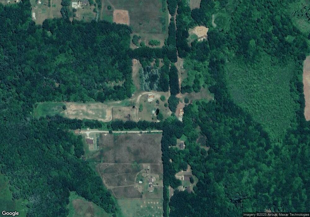
Map
Nearby Homes
- 15026 Meddler Ave
- 16585 Oakum Ave NE
- 15740 Grey Goose Dr
- 12513 Mcmurty Dr NE
- 12432 Mcmurty Dr NE
- 12409 Mcmurty Dr
- 16351 Black Lake Cove
- 12783 Laketon St NE
- 12651 Maston Lake Dr
- 12620 Gregware Dr NE
- 17157 Spruce Cove Trail
- 17163 Spruce Cove Trail
- 17149 Spruce Cove Trail
- 13020 Spruceridge Rd
- 13722 Sand Hill Ave
- 13664 Wabasis Ave NE
- 17035 Larsen Ave NE
- 12808 Lincoln Lake Ave NE
- 13478 NE Windy Craig Dr
- 13113 Pinewood St NE
- 15800 Force Ave NE
- 15770 Force Ave NE
- 15810 Force Ave NE
- 15851 Force Ave NE
- 15911 Force Ave NE
- 15785 Force Ave NE
- 15717 Force Ave NE
- 15750 Force Ave NE
- 11495 19 Mile Rd NE
- 11495 19 Mile Rd NE Unit A
- 11777 19 Mile Rd NE
- 15960 Force Ave NE
- 0 Force Ave NE Unit PAR A 3351263
- 0 Force Ave NE Unit Parce 3315554
- 0 Force Ave NE Unit Parce 3314040
- 0 Force Ave NE Unit Parce 3314035
- 0 Force Ave NE Unit APP 1
- 11480 Walander NE
- 11655 19 Mile Rd NE
- 11625 19 Mile Rd NE