15844 Lakeshore Rd Union Pier, MI 49129
Estimated Value: $699,000 - $3,441,791
6
Beds
1
Bath
2,000
Sq Ft
$896/Sq Ft
Est. Value
About This Home
This home is located at 15844 Lakeshore Rd, Union Pier, MI 49129 and is currently estimated at $1,792,264, approximately $896 per square foot. 15844 Lakeshore Rd is a home located in Berrien County with nearby schools including New Buffalo Elementary School, New Buffalo Middle School, and New Buffalo Senior High School.
Ownership History
Date
Name
Owned For
Owner Type
Purchase Details
Closed on
Dec 22, 2010
Sold by
Bell David S and Bell Mary E
Bought by
Dsb Group Holdings Llc
Current Estimated Value
Purchase Details
Closed on
Jan 21, 2003
Sold by
Zukauske Ona
Bought by
Bell Mary E
Home Financials for this Owner
Home Financials are based on the most recent Mortgage that was taken out on this home.
Original Mortgage
$1,700,000
Interest Rate
6%
Mortgage Type
Unknown
Purchase Details
Closed on
Dec 21, 1999
Create a Home Valuation Report for This Property
The Home Valuation Report is an in-depth analysis detailing your home's value as well as a comparison with similar homes in the area
Home Values in the Area
Average Home Value in this Area
Purchase History
| Date | Buyer | Sale Price | Title Company |
|---|---|---|---|
| Dsb Group Holdings Llc | -- | None Available | |
| Bell Mary E | -- | -- | |
| -- | -- | -- |
Source: Public Records
Mortgage History
| Date | Status | Borrower | Loan Amount |
|---|---|---|---|
| Previous Owner | Bell Mary E | $1,700,000 |
Source: Public Records
Tax History Compared to Growth
Tax History
| Year | Tax Paid | Tax Assessment Tax Assessment Total Assessment is a certain percentage of the fair market value that is determined by local assessors to be the total taxable value of land and additions on the property. | Land | Improvement |
|---|---|---|---|---|
| 2025 | $11,762 | $939,000 | $0 | $0 |
| 2024 | $8,051 | $719,300 | $0 | $0 |
| 2023 | $7,668 | $508,100 | $0 | $0 |
| 2022 | $7,303 | $555,800 | $0 | $0 |
| 2021 | $9,955 | $482,400 | $482,400 | $0 |
| 2020 | $9,838 | $430,500 | $0 | $0 |
| 2019 | $9,585 | $358,900 | $358,900 | $0 |
| 2018 | $9,570 | $358,900 | $0 | $0 |
| 2017 | $9,694 | $398,700 | $0 | $0 |
| 2016 | $9,073 | $425,300 | $0 | $0 |
| 2015 | $9,054 | $425,300 | $0 | $0 |
| 2014 | $6,533 | $478,500 | $0 | $0 |
Source: Public Records
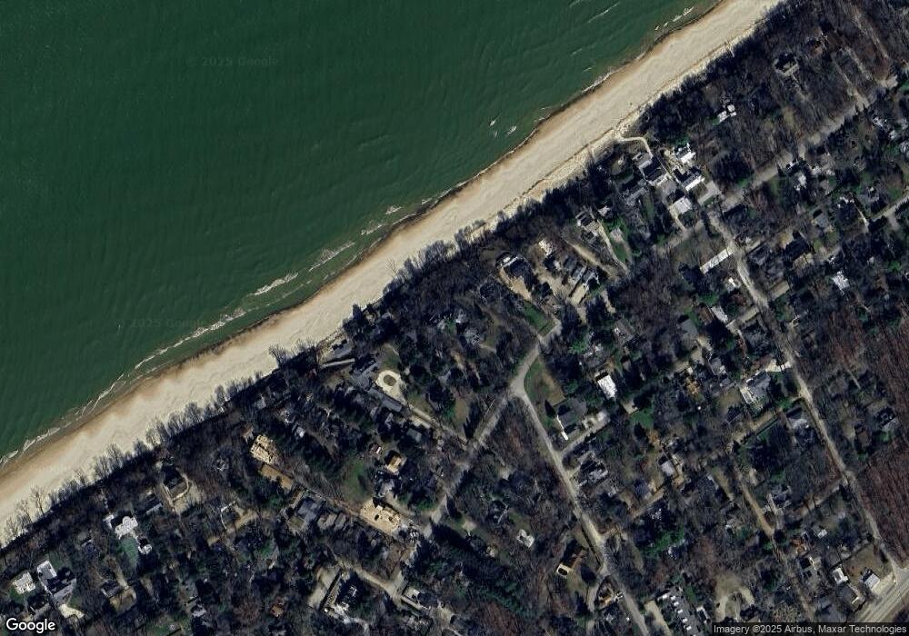
Map
Nearby Homes
- 16009 Goodwin Ave Unit 12
- 16009 Goodwin Ave Unit 10
- 16009 Goodwin Ave Unit 13
- 15943 Lakeshore Rd
- 15930 Lake Ave
- 9720 Woodlawn Ave
- 15657 Lakeshore Rd Unit 12
- 10252 Town Line Ave
- 16225 Quality Ln
- 16253 1st Ln
- 15577 Victor Rd Unit 4
- 16351 Red Arrow Hwy
- 15655 Locke Rd
- Lot 4 Driftwood Path
- Lot 7 Driftwood Path
- 15660 Locke Rd
- 16277 4th St
- 15445 Lakeshore Rd
- Lot 2 Driftwood Path
- Lot 3 Driftwood Path
- 15852 Lakeshore Rd
- 15832 Lakeshore Rd
- 15826A Lakeshore Rd
- 15826C Lakeshore Rd
- 15826 Lakeshore Rd Unit B
- 15826 Lakeshore Rd Unit 2
- 15826 Lakeshore Rd Unit 3
- 15826 Lakeshore Rd
- 15826 Lakeshore Dr Unit 3
- 15826 Lakeshore Dr
- 15829 Lakeshore Rd
- 15829 Lakeshore Rd
- 15829 Lakeshore Rd
- 15829 Lakeshore Rd
- 15829 Lakeshore Rd Unit 3 & 4
- 15922 Lakeshore Dr
- 15820 Lakeshore Rd
- 15820 Lakeshore Rd Unit B
- 15860 Lakeshore Rd
- 15884 Lakeshore Rd