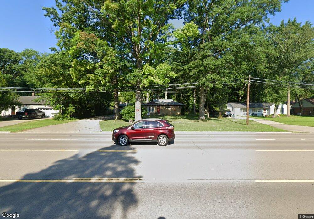
15849 Merriman Rd Unit Bldg-Unit Livonia, MI 48154
Estimated Value: $284,000 - $361,000
--
Bed
1
Bath
1,610
Sq Ft
$203/Sq Ft
Est. Value
About This Home
This home is located at 15849 Merriman Rd Unit Bldg-Unit, Livonia, MI 48154 and is currently estimated at $326,572, approximately $202 per square foot. 15849 Merriman Rd Unit Bldg-Unit is a home located in Wayne County with nearby schools including Riley Upper Elementary School, Buchanan Elementary School, and Holmes Middle School.
Ownership History
Date
Name
Owned For
Owner Type
Purchase Details
Closed on
Apr 28, 2020
Sold by
Matti Adrian
Bought by
Jones Robin Moten
Current Estimated Value
Purchase Details
Closed on
May 14, 2018
Sold by
Bank Of America N A
Bought by
Matti Adrian
Purchase Details
Closed on
Feb 14, 2017
Sold by
Perrine Anita J
Bought by
Bank Of America
Purchase Details
Closed on
Jul 24, 2014
Sold by
Perrine Herbert C and Perrine Anita J
Bought by
Francavilla Andrea
Purchase Details
Closed on
Aug 3, 2006
Sold by
Perrine Anita J and Perrine Herbert C
Bought by
Perrine Anita J and Anita J Perrine Revocable Trust
Create a Home Valuation Report for This Property
The Home Valuation Report is an in-depth analysis detailing your home's value as well as a comparison with similar homes in the area
Home Values in the Area
Average Home Value in this Area
Purchase History
| Date | Buyer | Sale Price | Title Company |
|---|---|---|---|
| Jones Robin Moten | $194,000 | Shield Title Agency Inc | |
| Matti Adrian | $112,882 | Stewart Title | |
| Bank Of America | $87,841 | None Available | |
| Francavilla Andrea | $45,073 | None Available | |
| Perrine Anita J | -- | None Available |
Source: Public Records
Tax History Compared to Growth
Tax History
| Year | Tax Paid | Tax Assessment Tax Assessment Total Assessment is a certain percentage of the fair market value that is determined by local assessors to be the total taxable value of land and additions on the property. | Land | Improvement |
|---|---|---|---|---|
| 2025 | $2,637 | $135,300 | $0 | $0 |
| 2024 | $2,637 | $124,000 | $0 | $0 |
| 2023 | $2,516 | $113,600 | $0 | $0 |
| 2022 | $4,538 | $112,400 | $0 | $0 |
| 2021 | $4,408 | $107,600 | $0 | $0 |
| 2019 | $7,489 | $111,100 | $0 | $0 |
| 2018 | $2,524 | $99,600 | $0 | $0 |
| 2017 | $7,587 | $95,700 | $0 | $0 |
| 2016 | $6,435 | $94,800 | $0 | $0 |
| 2015 | $7,916 | $90,840 | $0 | $0 |
| 2012 | -- | $78,620 | $35,000 | $43,620 |
Source: Public Records
Map
Nearby Homes
- 31005 Roycroft St
- 30900 Wentworth St
- 15345 Bainbridge St
- 31069 Munger Dr
- 15040 Berwick St
- 15075 Hubbard St Unit 5
- 14592 Melrose St
- 14591 Merriman Rd
- 14879 Fairfield St
- 30115 Munger Dr
- 31221 Lyndon St
- 32136 Lyndon St
- 15958 Shadyside Dr
- 15873 Shadyside Dr
- 15509 Shadyside St
- 32525 6 Mile Rd
- 14327 Arden St
- 32443 Lyndon St
- 14292 Hubbell St
- 29831 Oakley St
- 15849 Merriman Rd
- 15903 Merriman Rd
- 15815 Merriman Rd
- 15809 Merriman Rd
- 15929 Merriman Rd
- 15900 Merriman Rd
- 15807 Merriman Rd
- 15820 Merriman Rd
- 15975 Merriman Rd
- 15926 Merriman Rd
- 31365 Rayburn St
- 15960 Merriman Rd
- 31355 Rayburn St
- 15545 Merriman Rd
- 15991 Merriman Rd
- 15978 Merriman Rd
- 31336 Dorais St
- 31345 Rayburn St
- 31324 Dorais St
- 31340 Rayburn St