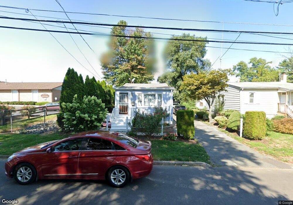
1585 6th St Ewing, NJ 08638
Prospect NeighborhoodEstimated Value: $249,000 - $262,000
Studio
--
Bath
960
Sq Ft
$266/Sq Ft
Est. Value
About This Home
This home is located at 1585 6th St, Ewing, NJ 08638 and is currently estimated at $255,793, approximately $266 per square foot. 1585 6th St is a home located in Mercer County with nearby schools including Ewing High School, Paul Robeson Charter School For The Humanities, and Trenton Stem-To-Civics Charter School.
Ownership History
Date
Name
Owned For
Owner Type
Purchase Details
Closed on
May 15, 2006
Sold by
Hernandez Jovita
Bought by
Caraballo Christina
Current Estimated Value
Home Financials for this Owner
Home Financials are based on the most recent Mortgage that was taken out on this home.
Original Mortgage
$122,400
Outstanding Balance
$71,777
Interest Rate
6.62%
Estimated Equity
$184,016
Purchase Details
Closed on
Apr 13, 1989
Sold by
Dimarco Ottaviano
Bought by
Dimarco Daniel
Create a Home Valuation Report for This Property
The Home Valuation Report is an in-depth analysis detailing your home's value as well as a comparison with similar homes in the area
Home Values in the Area
Average Home Value in this Area
Purchase History
| Date | Buyer | Sale Price | Title Company |
|---|---|---|---|
| Caraballo Christina | $153,000 | -- | |
| Dimarco Daniel | $23,000 | -- |
Source: Public Records
Mortgage History
| Date | Status | Borrower | Loan Amount |
|---|---|---|---|
| Open | Caraballo Christina | $122,400 |
Source: Public Records
Tax History
| Year | Tax Paid | Tax Assessment Tax Assessment Total Assessment is a certain percentage of the fair market value that is determined by local assessors to be the total taxable value of land and additions on the property. | Land | Improvement |
|---|---|---|---|---|
| 2025 | $3,921 | $99,700 | $44,200 | $55,500 |
| 2024 | $3,686 | $99,700 | $44,200 | $55,500 |
| 2023 | $3,686 | $99,700 | $44,200 | $55,500 |
| 2022 | $3,586 | $99,700 | $44,200 | $55,500 |
| 2021 | $3,498 | $99,700 | $44,200 | $55,500 |
| 2020 | $3,449 | $99,700 | $44,200 | $55,500 |
| 2019 | $3,359 | $99,700 | $44,200 | $55,500 |
| 2018 | $3,148 | $59,600 | $27,200 | $32,400 |
| 2017 | $3,221 | $59,600 | $27,200 | $32,400 |
| 2016 | $3,178 | $59,600 | $27,200 | $32,400 |
| 2015 | $3,136 | $59,600 | $27,200 | $32,400 |
| 2014 | $3,127 | $59,600 | $27,200 | $32,400 |
Source: Public Records
Map
Nearby Homes
- 1625 5th St
- 1625 6th St
- 2220 Spruce St
- 21 Buttonwood Dr
- 341 Stokes Ave
- 1 Kent Ct
- 0 Dryden Ave
- 2 Shelburne Dr
- 2 & 4 J Russel Smith Rd
- 12 J Russel Smith Rd
- 35 Rosedale Ave
- 124 New Hillcrest Ave
- 42 Hazelhurst Ave
- 100 Homecrest Ave
- 108 Homecrest Ave
- 40 J Russel Smith Rd
- 32 Stoneham Rd
- 91 Groveland Ave
- 131 Stokes Ave
- 1415 Princeton Ave
Your Personal Tour Guide
Ask me questions while you tour the home.