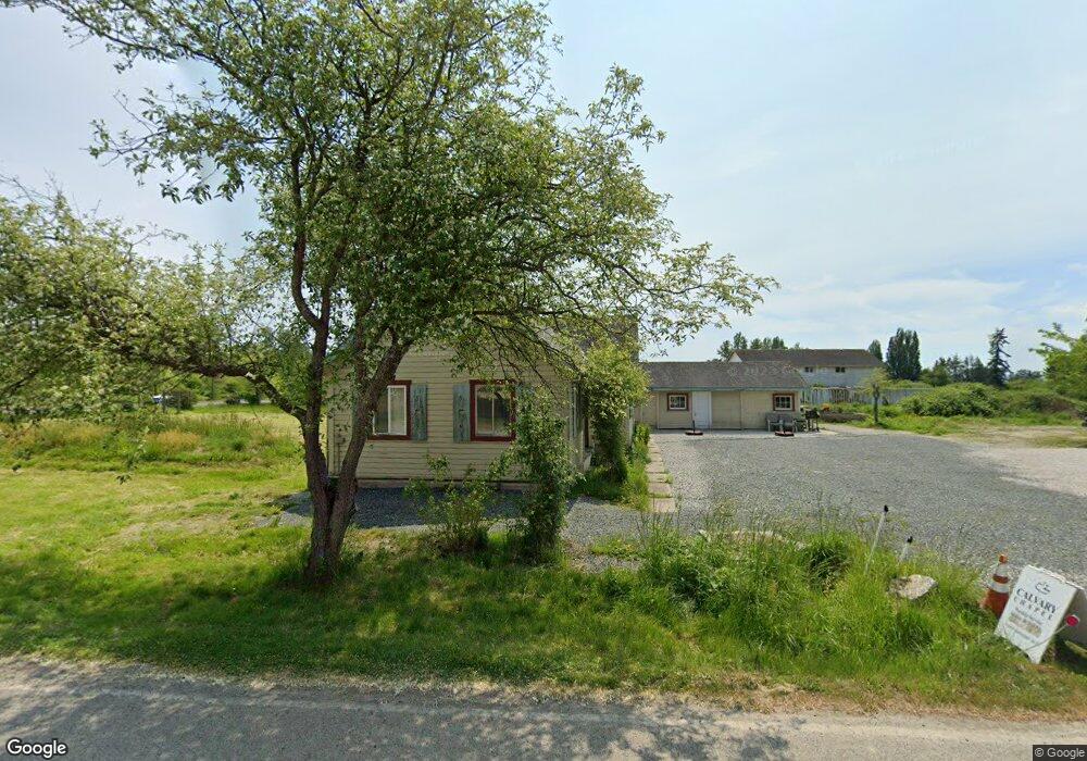
1585 Benson Rd Point Roberts, WA 98281
Estimated Value: $283,000 - $407,000
3
Beds
1
Bath
972
Sq Ft
$346/Sq Ft
Est. Value
About This Home
This home is located at 1585 Benson Rd, Point Roberts, WA 98281 and is currently estimated at $335,849, approximately $345 per square foot. 1585 Benson Rd is a home located in Whatcom County with nearby schools including Point Roberts Primary School, Blaine Middle School, and Blaine High School.
Ownership History
Date
Name
Owned For
Owner Type
Purchase Details
Closed on
Aug 15, 2005
Sold by
Lawson James and Lawson Eileen
Bought by
Vick Samuel and Vick Janet
Current Estimated Value
Home Financials for this Owner
Home Financials are based on the most recent Mortgage that was taken out on this home.
Original Mortgage
$148,000
Outstanding Balance
$77,246
Interest Rate
5.56%
Mortgage Type
Purchase Money Mortgage
Estimated Equity
$258,603
Create a Home Valuation Report for This Property
The Home Valuation Report is an in-depth analysis detailing your home's value as well as a comparison with similar homes in the area
Home Values in the Area
Average Home Value in this Area
Purchase History
| Date | Buyer | Sale Price | Title Company |
|---|---|---|---|
| Vick Samuel | $185,280 | Whatcom Land Title |
Source: Public Records
Mortgage History
| Date | Status | Borrower | Loan Amount |
|---|---|---|---|
| Open | Vick Samuel | $148,000 |
Source: Public Records
Tax History Compared to Growth
Tax History
| Year | Tax Paid | Tax Assessment Tax Assessment Total Assessment is a certain percentage of the fair market value that is determined by local assessors to be the total taxable value of land and additions on the property. | Land | Improvement |
|---|---|---|---|---|
| 2024 | $1,997 | $242,512 | $113,329 | $129,183 |
| 2023 | $1,997 | $232,209 | $103,026 | $129,183 |
| 2022 | $1,746 | $212,063 | $94,088 | $117,975 |
| 2021 | $1,739 | $166,126 | $74,725 | $91,401 |
| 2020 | $1,735 | $153,818 | $69,189 | $84,629 |
| 2019 | $1,615 | $147,546 | $66,368 | $81,178 |
| 2018 | $1,466 | $132,643 | $59,664 | $72,979 |
| 2017 | $1,272 | $126,681 | $56,982 | $69,699 |
| 2016 | $1,308 | $124,197 | $55,865 | $68,332 |
| 2015 | $1,391 | $124,195 | $56,812 | $67,383 |
| 2014 | -- | $129,836 | $59,393 | $70,443 |
| 2013 | -- | $124,263 | $57,041 | $67,222 |
Source: Public Records
Map
Nearby Homes
- 391 Tyee Dr
- 423 Tyee Dr
- 1548 Columbia Vista Dr
- 386 Tyee Dr
- 1546 Columbia Crescent
- 1540 Columbia Crescent
- 465 Tyee Dr
- 1541 Columbia Crescent
- 1531 Columbia Vista Dr
- 286 Tyee Dr
- 350 Tyee Dr
- 161 Tyee Dr
- 1537 Columbia Crescent
- 1567 Vista Way
- 1525 Columbia Vista Dr
- 1589 Vista Way
- 1650 Benson Rd
- Lot 4 Tyee Dr
- 10 Acres Tyee Dr
- 9999 Tyee Dr