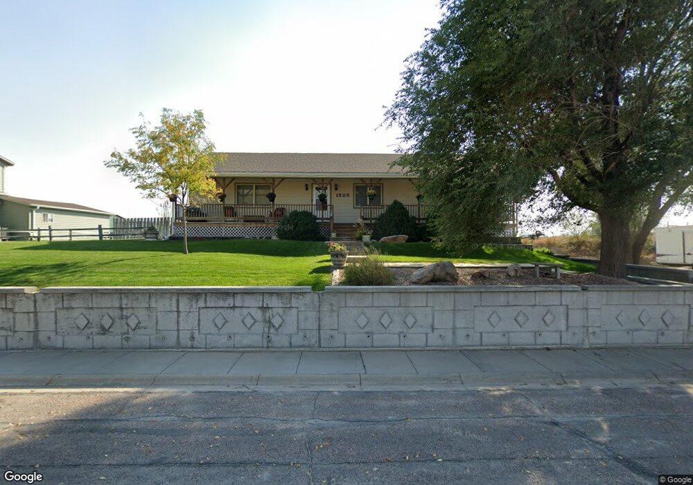
1585 Buckskin Ct Gering, NE 69341
Estimated Value: $294,000 - $359,000
3
Beds
2
Baths
2,062
Sq Ft
$157/Sq Ft
Est. Value
About This Home
This home is located at 1585 Buckskin Ct, Gering, NE 69341 and is currently estimated at $323,083, approximately $156 per square foot. 1585 Buckskin Ct is a home located in Scotts Bluff County with nearby schools including Gering High School.
Ownership History
Date
Name
Owned For
Owner Type
Purchase Details
Closed on
Nov 20, 2012
Sold by
Roberson Pepper L and Mosier Pepper L
Bought by
Marietta Paul E and Marietta Kimberly A
Current Estimated Value
Home Financials for this Owner
Home Financials are based on the most recent Mortgage that was taken out on this home.
Original Mortgage
$60,000
Outstanding Balance
$41,540
Interest Rate
3.43%
Mortgage Type
Purchase Money Mortgage
Estimated Equity
$281,543
Create a Home Valuation Report for This Property
The Home Valuation Report is an in-depth analysis detailing your home's value as well as a comparison with similar homes in the area
Home Values in the Area
Average Home Value in this Area
Purchase History
| Date | Buyer | Sale Price | Title Company |
|---|---|---|---|
| Marietta Paul E | $40,000 | None Available |
Source: Public Records
Mortgage History
| Date | Status | Borrower | Loan Amount |
|---|---|---|---|
| Open | Marietta Paul E | $60,000 |
Source: Public Records
Tax History Compared to Growth
Tax History
| Year | Tax Paid | Tax Assessment Tax Assessment Total Assessment is a certain percentage of the fair market value that is determined by local assessors to be the total taxable value of land and additions on the property. | Land | Improvement |
|---|---|---|---|---|
| 2024 | $4,688 | $272,250 | $26,010 | $246,240 |
| 2023 | $4,864 | $226,961 | $19,074 | $207,887 |
| 2022 | $4,864 | $226,961 | $19,074 | $207,887 |
| 2021 | $4,623 | $213,361 | $19,074 | $194,287 |
| 2020 | $4,448 | $204,109 | $19,074 | $185,035 |
| 2019 | $4,341 | $204,109 | $19,074 | $185,035 |
| 2018 | $4,367 | $204,109 | $19,074 | $185,035 |
| 2017 | $4,373 | $204,109 | $19,074 | $185,035 |
| 2016 | $4,059 | $204,109 | $19,074 | $185,035 |
| 2015 | $3,939 | $198,720 | $19,074 | $179,646 |
| 2014 | $3,995 | $198,720 | $19,074 | $179,646 |
| 2012 | -- | $195,198 | $19,074 | $176,124 |
Source: Public Records
Map
Nearby Homes
- 1565 Buckskin Ct
- 310 Margaret Dr
- 1545 Buckskin Ct
- 140386 S 14th St
- 1540 Buckskin Ct
- 300 Margaret Dr
- 160 Kimball Ave
- 305 Margaret Dr
- 290 Margaret Dr
- 280 Margaret Dr
- 295 Margaret Dr
- 140328 S 14th St
- 150 Kimball Ave
- 285 Margaret Dr
- 290 Cox Dr
- 140 Kimball Ave
- 270 Margaret Dr
- 1625 Birch St
- 280 Cox Dr
- 275 Margaret Dr