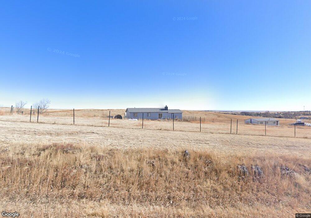
1585 Curtis Rd Peyton, CO 80831
Estimated Value: $458,000 - $634,000
3
Beds
2
Baths
1,214
Sq Ft
$472/Sq Ft
Est. Value
About This Home
This home is located at 1585 Curtis Rd, Peyton, CO 80831 and is currently estimated at $572,889, approximately $471 per square foot. 1585 Curtis Rd is a home located in El Paso County with nearby schools including Falcon Elementary School Of Technology, Falcon Middle School, and Falcon High School.
Ownership History
Date
Name
Owned For
Owner Type
Purchase Details
Closed on
Jul 23, 2018
Sold by
Mobley Sally M
Bought by
Mobley Sally M and Motte Michele L
Current Estimated Value
Purchase Details
Closed on
Mar 14, 1997
Sold by
Mobley Vernon F
Bought by
Mobley Sally M
Purchase Details
Closed on
Oct 10, 1989
Bought by
Mobley Sally M
Create a Home Valuation Report for This Property
The Home Valuation Report is an in-depth analysis detailing your home's value as well as a comparison with similar homes in the area
Purchase History
| Date | Buyer | Sale Price | Title Company |
|---|---|---|---|
| Mobley Sally M | -- | None Available | |
| Mobley Sally M | -- | -- | |
| Mobley Sally M | $67,000 | -- |
Source: Public Records
Tax History
| Year | Tax Paid | Tax Assessment Tax Assessment Total Assessment is a certain percentage of the fair market value that is determined by local assessors to be the total taxable value of land and additions on the property. | Land | Improvement |
|---|---|---|---|---|
| 2025 | $2,226 | $40,900 | -- | -- |
| 2024 | $2,117 | $35,100 | $12,880 | $22,220 |
| 2023 | $2,117 | $35,100 | $12,880 | $22,220 |
| 2022 | $1,473 | $21,220 | $9,650 | $11,570 |
| 2021 | $1,533 | $21,840 | $9,930 | $11,910 |
| 2020 | $1,263 | $17,910 | $8,900 | $9,010 |
| 2019 | $1,251 | $17,910 | $8,900 | $9,010 |
| 2018 | $1,112 | $15,650 | $8,060 | $7,590 |
| 2017 | $1,019 | $15,650 | $8,060 | $7,590 |
| 2016 | $1,041 | $15,780 | $8,300 | $7,480 |
| 2015 | $1,042 | $15,780 | $8,300 | $7,480 |
| 2014 | $983 | $14,610 | $8,050 | $6,560 |
Source: Public Records
Map
Nearby Homes
- 9475 N Curtis Rd
- 1355 Houseman Rd
- 2070 Terri Lee Dr
- 0 Davis Rd
- 14655 Davis Rd
- 2955 Hoofprint Rd
- 15030 Highway 94
- 15080 Highway 94
- 2115 Terri Lee Dr
- 14240 Highway 94
- 2265 Terri Lee Dr
- 75 N Curtis Rd Unit 8
- 75 N Curtis Rd Unit 16
- 75 N Curtis Rd Unit 48
- 3380 Curtis Rd
- 2105 Slocum Rd
- 2550 Slocum Rd
- TBD Quail Dr
- 2704 S Solberg Ct
- 2737 S Solberg Ct
- 1595 Curtis Rd
- 8410 N Curtis Rd
- 3220 N Curtis Rd
- 1475 N Curtis Rd
- 1586 Curtis Rd
- 1465 Houseman Rd
- 1355 N Curtis Rd
- 1415 Houseman Rd
- 1185 N Curtis Rd
- 1160 Houseman Rd
- 1285 Houseman Rd
- 1522 Curtis Rd
- 1420 Donald Rd
- 1225 Houseman Rd
- 1135 N Curtis Rd
- 1150 Houseman Rd
- 1075 N Curtis Rd
- 1155 Houseman Rd
- 6691 Dragontail Terrace
- 1475 Donald Rd
Your Personal Tour Guide
Ask me questions while you tour the home.