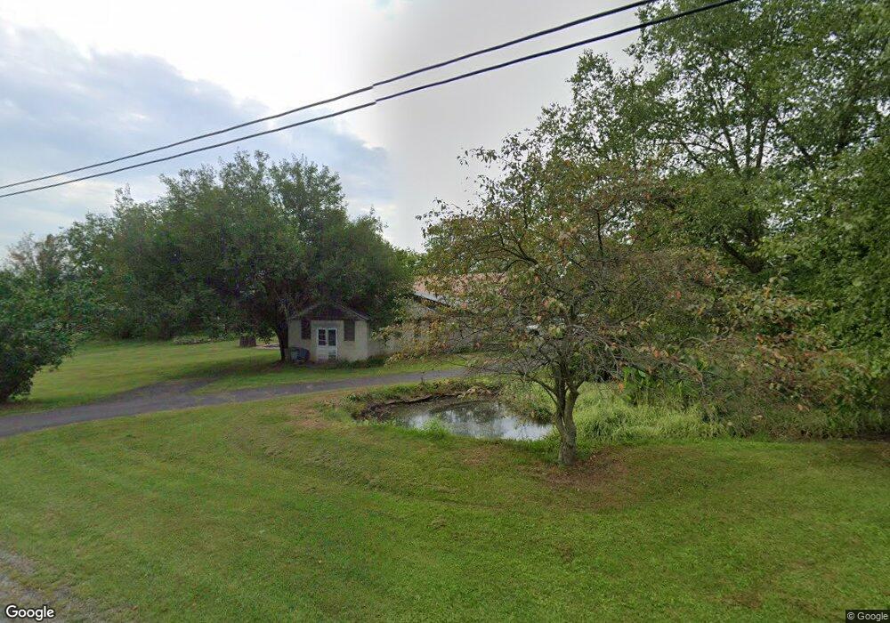
1585 Harney Rd Unit 1 Littlestown, PA 17340
Estimated Value: $431,000 - $546,000
4
Beds
1
Bath
3,366
Sq Ft
$141/Sq Ft
Est. Value
About This Home
This home is located at 1585 Harney Rd Unit 1, Littlestown, PA 17340 and is currently estimated at $475,737, approximately $141 per square foot. 1585 Harney Rd Unit 1 is a home located in Adams County with nearby schools including Rolling Acres El School, Maple Avenue Middle School, and Littlestown Senior High School.
Ownership History
Date
Name
Owned For
Owner Type
Purchase Details
Closed on
Aug 20, 2018
Sold by
Camacho Cindy V and Luquin Sergio C
Bought by
Helm Matthyew and Helm Elizabeth
Current Estimated Value
Home Financials for this Owner
Home Financials are based on the most recent Mortgage that was taken out on this home.
Original Mortgage
$244,000
Outstanding Balance
$211,904
Interest Rate
4.5%
Mortgage Type
Purchase Money Mortgage
Estimated Equity
$263,833
Purchase Details
Closed on
Nov 21, 2007
Sold by
Valenzisi Sylvia S
Bought by
Valenzisi Camacho Cindy
Create a Home Valuation Report for This Property
The Home Valuation Report is an in-depth analysis detailing your home's value as well as a comparison with similar homes in the area
Home Values in the Area
Average Home Value in this Area
Purchase History
| Date | Buyer | Sale Price | Title Company |
|---|---|---|---|
| Helm Matthyew | $305,000 | -- | |
| Valenzisi Camacho Cindy | $210,000 | -- |
Source: Public Records
Mortgage History
| Date | Status | Borrower | Loan Amount |
|---|---|---|---|
| Open | Helm Matthyew | $244,000 |
Source: Public Records
Tax History Compared to Growth
Tax History
| Year | Tax Paid | Tax Assessment Tax Assessment Total Assessment is a certain percentage of the fair market value that is determined by local assessors to be the total taxable value of land and additions on the property. | Land | Improvement |
|---|---|---|---|---|
| 2025 | $4,993 | $263,800 | $94,500 | $169,300 |
| 2024 | $4,800 | $263,800 | $94,500 | $169,300 |
| 2023 | $4,679 | $263,800 | $94,500 | $169,300 |
| 2022 | $4,644 | $263,800 | $94,500 | $169,300 |
| 2021 | $4,226 | $248,900 | $94,500 | $154,400 |
| 2020 | $4,165 | $248,900 | $94,500 | $154,400 |
| 2019 | $3,911 | $238,800 | $94,500 | $144,300 |
| 2018 | $3,794 | $238,800 | $94,500 | $144,300 |
| 2017 | $3,676 | $238,800 | $94,500 | $144,300 |
| 2016 | -- | $238,800 | $94,500 | $144,300 |
| 2015 | -- | $238,800 | $94,500 | $144,300 |
| 2014 | -- | $238,800 | $94,500 | $144,300 |
Source: Public Records
Map
Nearby Homes
- 37 Amanda Dr Unit 14
- 0 Hershey Rd Unit PALA2058618
- 0 Conestoga Blvd Unit PALA2080682
- 2238 Harney Rd Unit 3
- 975 Hoffman Home Rd Unit 6
- 1024 Frederick Pike Unit 6
- 4174 Francis Scott Key Hwy
- 161 Stoners Cir
- 3989 Kump Station Rd
- 15 Yorktowne Ct Unit 97
- 22 Rita Marie Ave
- 58 Windsor Ct
- 140 Apple Grove Ln Unit 425
- 893 Georgetown Rd
- 440 N Queen St
- 20c Locust Dr
- 0 Locust Dr Unit PAAD2015910
- 117 Charles St
- 115 Charles St
- 22 Cemetery St
- 440 Teeter Rd Unit 2
- 1605 Harney Rd
- 1535 Harney Rd
- 1606 Harney Rd
- 1590 Harney Rd Unit 22
- 400 Teeter Rd Unit 1
- 1578 Harney Rd Unit 23
- 1550 Harney Rd Unit 24
- 382 Teeter Rd Unit 2
- 1528 Harney Rd
- 500 Teeter Rd
- 1495 Harney Rd Unit 3
- 1640 Harney Rd
- 1514 Harney Rd Unit 26
- 366 Teeter Rd Unit 3
- 1655 Harney Rd
- 509 Teeter Rd Unit 2
- 348 Teeter Rd Unit 4
- 1667 Harney Rd Unit 7
- 526 Teeter Rd