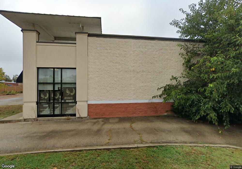
1585 Rand Rd Unit C Des Plaines, IL 60016
Studio
--
Bath
--
Sq Ft
--
Built
About This Home
This home is located at 1585 Rand Rd Unit C, Des Plaines, IL 60016. 1585 Rand Rd Unit C is a home located in Cook County with nearby schools including North Elementary School, Chippewa Middle School, and Maine West High School.
Create a Home Valuation Report for This Property
The Home Valuation Report is an in-depth analysis detailing your home's value as well as a comparison with similar homes in the area
Home Values in the Area
Average Home Value in this Area
Tax History
| Year | Tax Paid | Tax Assessment Tax Assessment Total Assessment is a certain percentage of the fair market value that is determined by local assessors to be the total taxable value of land and additions on the property. | Land | Improvement |
|---|---|---|---|---|
| 2025 | $166,385 | $851,335 | $329,023 | $522,312 |
| 2024 | $166,385 | $631,073 | $204,726 | $426,347 |
| 2023 | $162,384 | $631,073 | $204,726 | $426,347 |
| 2022 | $162,384 | $631,073 | $204,726 | $426,347 |
| 2021 | $157,325 | $511,814 | $204,725 | $307,089 |
| 2020 | $154,667 | $511,814 | $204,725 | $307,089 |
| 2019 | $137,738 | $511,814 | $204,725 | $307,089 |
| 2018 | $114,799 | $383,860 | $131,609 | $252,251 |
| 2017 | $112,771 | $383,860 | $131,609 | $252,251 |
| 2016 | $106,667 | $383,860 | $131,609 | $252,251 |
| 2015 | $110,520 | $365,580 | $124,297 | $241,283 |
| 2014 | $108,190 | $365,580 | $124,297 | $241,283 |
| 2013 | $105,496 | $365,580 | $124,297 | $241,283 |
Source: Public Records
Map
Nearby Homes
- 430 Oak St
- 1509 Brown St Unit 11
- 1569 Sherman Place
- 555 S River Rd Unit 607
- 1480 Jefferson St Unit 203A
- 365 Graceland Ave Unit 205A
- 656 Pearson St Unit 203C
- 659 S Des Plaines River Rd Unit 2A
- 1389 Perry St Unit 203
- 1378 Perry St Unit 412
- 1349 E Washington St Unit 404A
- 1670 Mill St Unit 207
- 650 S River Rd Unit 701
- 1327 E Washington St Unit 309
- 176 Grove Ave Unit C
- 1327 Brown St Unit 404
- 1333 Willow Ave
- 1308 Perry St Unit B
- 1288 Perry St Unit 2
- 770 Pearson St Unit 808
Your Personal Tour Guide
Ask me questions while you tour the home.