1585 S Highway 79 Winfield, MO 63389
Estimated Value: $227,000 - $269,000
4
Beds
2
Baths
1,711
Sq Ft
$146/Sq Ft
Est. Value
About This Home
This home is located at 1585 S Highway 79, Winfield, MO 63389 and is currently estimated at $249,244, approximately $145 per square foot. 1585 S Highway 79 is a home located in Lincoln County with nearby schools including Winfield Primary School, Winfield Intermediate School, and Winfield Middle School.
Ownership History
Date
Name
Owned For
Owner Type
Purchase Details
Closed on
May 3, 2018
Sold by
Presley Teresa L and Presley Terry L
Bought by
Huff John P and Teacy Amanda
Current Estimated Value
Home Financials for this Owner
Home Financials are based on the most recent Mortgage that was taken out on this home.
Original Mortgage
$142,373
Outstanding Balance
$125,528
Interest Rate
5.5%
Mortgage Type
FHA
Estimated Equity
$123,716
Create a Home Valuation Report for This Property
The Home Valuation Report is an in-depth analysis detailing your home's value as well as a comparison with similar homes in the area
Home Values in the Area
Average Home Value in this Area
Purchase History
| Date | Buyer | Sale Price | Title Company |
|---|---|---|---|
| Huff John P | -- | None Available |
Source: Public Records
Mortgage History
| Date | Status | Borrower | Loan Amount |
|---|---|---|---|
| Open | Huff John P | $142,373 |
Source: Public Records
Tax History Compared to Growth
Tax History
| Year | Tax Paid | Tax Assessment Tax Assessment Total Assessment is a certain percentage of the fair market value that is determined by local assessors to be the total taxable value of land and additions on the property. | Land | Improvement |
|---|---|---|---|---|
| 2025 | $1,285 | $24,706 | $2,603 | $22,103 |
| 2024 | $1,285 | $23,003 | $2,470 | $20,533 |
| 2023 | $1,281 | $23,003 | $2,470 | $20,533 |
| 2022 | $1,219 | $22,042 | $2,470 | $19,572 |
| 2021 | $1,226 | $116,010 | $0 | $0 |
| 2020 | $1,103 | $103,360 | $0 | $0 |
| 2019 | $1,104 | $103,360 | $0 | $0 |
| 2018 | $1,114 | $19,545 | $0 | $0 |
| 2017 | $1,118 | $19,545 | $0 | $0 |
| 2016 | $1,006 | $17,176 | $0 | $0 |
| 2015 | $1,010 | $17,176 | $0 | $0 |
| 2014 | $1,012 | $17,391 | $0 | $0 |
| 2013 | -- | $16,642 | $0 | $0 |
Source: Public Records
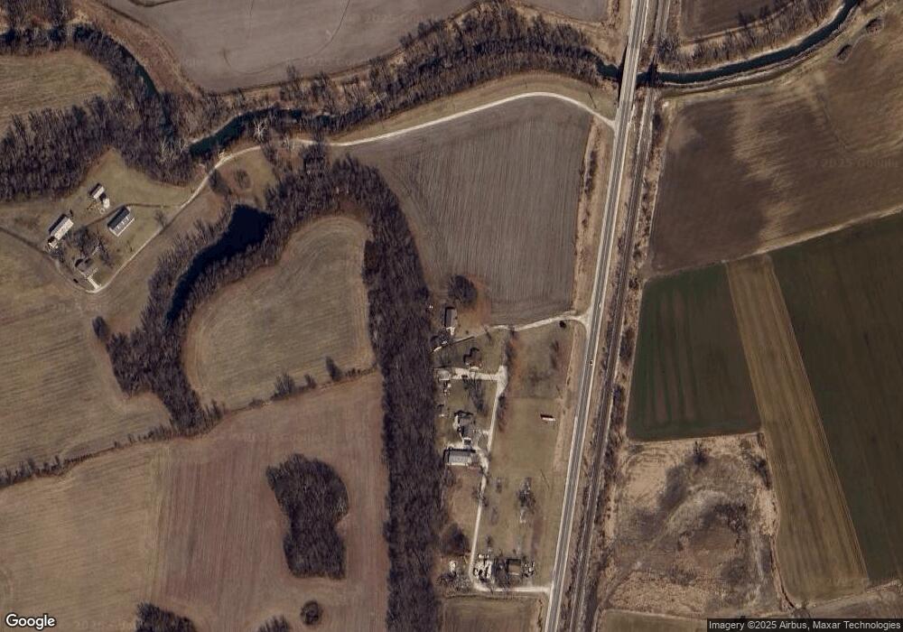
Map
Nearby Homes
- 281 West Ave
- 168 Lakeview Rd
- 490 Sandra Way
- 94 Darla Dr
- 65 Eagles Bluff Dr
- 320 Fourbush Ct
- 20 Merganser Ct
- 220 Kitson Rd
- 118 Walnut St
- 228 Church St
- 102 N 3rd St
- 130 Eddie's Way Tbb
- 4 Hahn Estates Rd
- 25 Rolfes Ln
- 671 Birkhead Rd
- 523 Saint John Ln
- 0 Pillsbury Rd
- 0000 Pillsbury Rd
- 00 Pillsbury Rd
- 2891 Highway C
- 1585 S Highway 79
- 1585 Missouri 79
- 31 Fort Howard Acres
- 45 Fort Howard Acres
- 90 Fort Howard Acres
- 94 Fort Howard Acres
- 147 Westoff Farm Rd
- 1731 Keeteman Rd
- 1705 Keeteman Rd
- 0 130 + -Acres Hwy 79
- 1763 S Highway 79
- 16 Brevator Rd
- 45 Brevator Rd
- 28 Brevator Rd
- 1628 Keeteman Rd
- 1451 S Highway 79
- 75 Windy Knoll Ln
- 48 Schulte Ln
- 98 Dickmeyer Ln
- 1381 S Highway 79