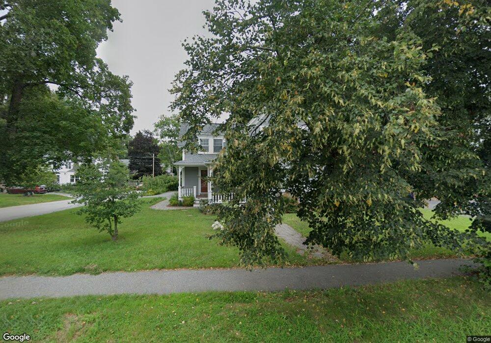
1586 Main St Unit n/a Concord, MA 01742
Estimated Value: $1,335,000 - $1,605,000
4
Beds
3
Baths
2,600
Sq Ft
$561/Sq Ft
Est. Value
About This Home
This home is located at 1586 Main St Unit n/a, Concord, MA 01742 and is currently estimated at $1,457,957, approximately $560 per square foot. 1586 Main St Unit n/a is a home located in Middlesex County with nearby schools including Thoreau Elementary School, Concord Middle School, and Nashoba Brooks School.
Ownership History
Date
Name
Owned For
Owner Type
Purchase Details
Closed on
Jul 14, 2023
Sold by
Howland Main Street Rt and Howland
Bought by
Sheehan Catherine W and Burson Laura H
Current Estimated Value
Purchase Details
Closed on
Jul 28, 2017
Sold by
Howland Scott E
Bought by
Howland Main Street Rt and Howland
Purchase Details
Closed on
Sep 2, 2011
Sold by
Glynn Paul F and Bogue David
Bought by
1586 Main Street 2004
Purchase Details
Closed on
Aug 12, 2004
Sold by
Lawrence Albert J
Bought by
Bogue David and Glynn Paul F
Home Financials for this Owner
Home Financials are based on the most recent Mortgage that was taken out on this home.
Original Mortgage
$390,450
Interest Rate
6.16%
Mortgage Type
Purchase Money Mortgage
Purchase Details
Closed on
May 14, 2004
Sold by
Concord Town Of
Bought by
Lawrence Albert J
Purchase Details
Closed on
Apr 27, 2004
Sold by
Concord Hsng Auth
Bought by
Concord Townof
Create a Home Valuation Report for This Property
The Home Valuation Report is an in-depth analysis detailing your home's value as well as a comparison with similar homes in the area
Home Values in the Area
Average Home Value in this Area
Purchase History
| Date | Buyer | Sale Price | Title Company |
|---|---|---|---|
| Sheehan Catherine W | -- | None Available | |
| Howland Main Street Rt | $901,000 | -- | |
| 1586 Main Street 2004 | -- | -- | |
| Bogue David | $411,000 | -- | |
| Lawrence Albert J | -- | -- | |
| Concord Townof | -- | -- |
Source: Public Records
Mortgage History
| Date | Status | Borrower | Loan Amount |
|---|---|---|---|
| Previous Owner | Bogue David | $390,450 |
Source: Public Records
Tax History Compared to Growth
Tax History
| Year | Tax Paid | Tax Assessment Tax Assessment Total Assessment is a certain percentage of the fair market value that is determined by local assessors to be the total taxable value of land and additions on the property. | Land | Improvement |
|---|---|---|---|---|
| 2025 | $154 | $1,165,000 | $404,400 | $760,600 |
| 2024 | $14,920 | $1,136,300 | $404,400 | $731,900 |
| 2023 | $12,578 | $970,500 | $367,600 | $602,900 |
| 2022 | $13,477 | $913,100 | $294,100 | $619,000 |
| 2021 | $12,344 | $838,600 | $294,100 | $544,500 |
| 2020 | $11,959 | $840,400 | $294,100 | $546,300 |
| 2019 | $11,307 | $796,800 | $303,800 | $493,000 |
| 2018 | $10,302 | $720,900 | $278,900 | $442,000 |
| 2017 | $10,669 | $758,300 | $259,000 | $499,300 |
| 2016 | $10,160 | $729,900 | $259,000 | $470,900 |
| 2015 | $9,493 | $664,300 | $239,800 | $424,500 |
Source: Public Records
Map
Nearby Homes
- 1687 Main St
- 70 McCallar Ln
- 102 Highland St
- 27 Water St
- 37 Water St
- 54 Maple St
- 70 Hillside Ave
- 1828 Main St
- 111 Central St
- 1844 Main St Unit 1844
- 88 Wright Rd
- 65 Summit St
- 10 Wright Rd
- 114 Upland Rd
- 80 N Branch Rd
- 12 S Meadow Ridge Unit 12
- 12 S Meadow Ridge
- 16 Concord Greene Unit 5
- 1053 Main St
- 24 Concord Greene Unit 7