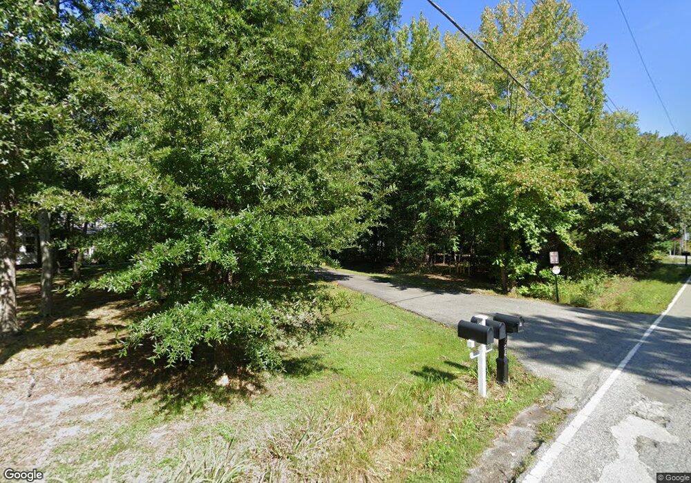
1586 Snug Harbor Rd Shady Side, MD 20764
Estimated Value: $431,008 - $540,000
--
Bed
2
Baths
1,704
Sq Ft
$292/Sq Ft
Est. Value
About This Home
This home is located at 1586 Snug Harbor Rd, Shady Side, MD 20764 and is currently estimated at $497,252, approximately $291 per square foot. 1586 Snug Harbor Rd is a home located in Anne Arundel County with nearby schools including Shady Side Elementary School, Southern Middle School, and Southern High School.
Ownership History
Date
Name
Owned For
Owner Type
Purchase Details
Closed on
Nov 8, 2006
Sold by
Kundrat Marc R
Bought by
Kundrat Carol B
Current Estimated Value
Purchase Details
Closed on
Aug 21, 2006
Sold by
Kundrat Marc R
Bought by
Kundrat Carol B
Purchase Details
Closed on
Sep 26, 1996
Sold by
Ford Homes Inc
Bought by
Kundrat Marc R and Kundrat Carol B
Purchase Details
Closed on
Jun 28, 1996
Sold by
Lowman Frank T
Bought by
Ford Homes Inc
Create a Home Valuation Report for This Property
The Home Valuation Report is an in-depth analysis detailing your home's value as well as a comparison with similar homes in the area
Home Values in the Area
Average Home Value in this Area
Purchase History
| Date | Buyer | Sale Price | Title Company |
|---|---|---|---|
| Kundrat Carol B | -- | -- | |
| Kundrat Carol B | -- | -- | |
| Kundrat Marc R | $148,200 | -- | |
| Ford Homes Inc | $44,000 | -- |
Source: Public Records
Mortgage History
| Date | Status | Borrower | Loan Amount |
|---|---|---|---|
| Closed | Kundrat Marc R | -- |
Source: Public Records
Tax History Compared to Growth
Tax History
| Year | Tax Paid | Tax Assessment Tax Assessment Total Assessment is a certain percentage of the fair market value that is determined by local assessors to be the total taxable value of land and additions on the property. | Land | Improvement |
|---|---|---|---|---|
| 2025 | $4,218 | $361,667 | -- | -- |
| 2024 | $4,218 | $339,333 | $0 | $0 |
| 2023 | $3,935 | $317,000 | $145,500 | $171,500 |
| 2022 | $3,682 | $311,167 | $0 | $0 |
| 2021 | $7,242 | $305,333 | $0 | $0 |
| 2020 | $3,520 | $299,500 | $145,500 | $154,000 |
| 2019 | $3,453 | $292,800 | $0 | $0 |
| 2018 | $2,901 | $286,100 | $0 | $0 |
| 2017 | $3,230 | $279,400 | $0 | $0 |
| 2016 | -- | $279,367 | $0 | $0 |
| 2015 | -- | $279,333 | $0 | $0 |
| 2014 | -- | $279,300 | $0 | $0 |
Source: Public Records
Map
Nearby Homes
- 4949 Idlewilde Rd
- 4950 W End Ave
- 1650 Cedar Ln
- 1220 Grove Ave
- 4846 Woods Wharf Rd
- 1208 Oak Ave
- 1419 Shady Rest Rd
- 1213 Oak Ave
- 4742 Chestnut Rd
- 4738 Washington Ave
- 4738 Idlewilde Rd
- 1461 Cedarhurst Rd
- 4725 Idlewilde Rd
- 0 Haile Pkwy Unit MDAA2127474
- 4721 Girton Ave
- 1445 & 1447 Haile Pkwy
- 1436 Haile Pkwy
- 4717 Frederick Ave
- 1302 Spruce St
- 0 Shady Side Rd Unit MDAA2113156
- 1580 Snug Harbor Rd
- 1584 Snug Harbor Rd
- 1591 Snug Harbor Rd
- 4943 Idlewilde Rd
- 1587 Snug Harbor Rd
- 1576 Snug Harbor Rd
- 4945 Idlewilde Rd
- 1565 Snug Harbor Rd
- 4941 Idlewilde Rd
- 1582 Snug Harbor Rd
- 4931 Idlewilde Rd
- 1611 Snug Harbor Rd
- 1583 Snug Harbor Rd
- 4923 Idlewilde Rd
- 1553 Snug Harbor Rd
- 1561 Snug Harbor Rd
- 4934 Idlewilde Rd
- 1631 Snug Harbor Rd
- 1632 Snug Harbor Rd
- 4925 Idlewilde Rd
