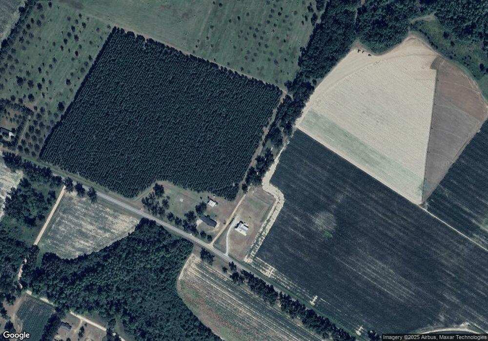
1587 Dry Fork Rd Glennville, GA 30427
Estimated Value: $233,791 - $337,000
--
Bed
2
Baths
2,348
Sq Ft
$118/Sq Ft
Est. Value
About This Home
This home is located at 1587 Dry Fork Rd, Glennville, GA 30427 and is currently estimated at $277,948, approximately $118 per square foot. 1587 Dry Fork Rd is a home located in Tattnall County with nearby schools including Tattnall County High School.
Ownership History
Date
Name
Owned For
Owner Type
Purchase Details
Closed on
Aug 24, 2022
Sold by
Tatum Martha F
Bought by
Traylor Stephen F and Traylor Kaley M
Current Estimated Value
Purchase Details
Closed on
Dec 29, 2017
Sold by
Allen Rebecca F
Bought by
Tatum Martha F
Home Financials for this Owner
Home Financials are based on the most recent Mortgage that was taken out on this home.
Original Mortgage
$95,000
Interest Rate
3.9%
Mortgage Type
New Conventional
Purchase Details
Closed on
Oct 5, 2015
Sold by
Futch Terrell W
Bought by
Tatum Martha F
Purchase Details
Closed on
Dec 7, 1978
Sold by
Harrell James Otis
Bought by
Futch Terrell W and Futch Linda
Create a Home Valuation Report for This Property
The Home Valuation Report is an in-depth analysis detailing your home's value as well as a comparison with similar homes in the area
Home Values in the Area
Average Home Value in this Area
Purchase History
| Date | Buyer | Sale Price | Title Company |
|---|---|---|---|
| Traylor Stephen F | -- | -- | |
| Tatum Martha F | $140,000 | -- | |
| Tatum Martha F | -- | -- | |
| Futch Terrell W | $2,100 | -- |
Source: Public Records
Mortgage History
| Date | Status | Borrower | Loan Amount |
|---|---|---|---|
| Previous Owner | Tatum Martha F | $95,000 |
Source: Public Records
Tax History Compared to Growth
Tax History
| Year | Tax Paid | Tax Assessment Tax Assessment Total Assessment is a certain percentage of the fair market value that is determined by local assessors to be the total taxable value of land and additions on the property. | Land | Improvement |
|---|---|---|---|---|
| 2024 | $1,947 | $69,552 | $4,000 | $65,552 |
| 2023 | $1,947 | $69,552 | $4,000 | $65,552 |
| 2022 | $1,588 | $56,752 | $8,720 | $48,032 |
| 2021 | $1,318 | $48,512 | $8,720 | $39,792 |
| 2020 | $1,318 | $48,512 | $8,720 | $39,792 |
| 2019 | $1,245 | $44,900 | $8,720 | $36,180 |
| 2018 | $1,266 | $44,900 | $8,720 | $36,180 |
| 2017 | $1,245 | $44,900 | $8,720 | $36,180 |
| 2016 | $1,225 | $43,192 | $8,720 | $34,472 |
| 2015 | -- | $42,792 | $8,720 | $34,072 |
| 2014 | -- | $44,152 | $8,720 | $35,432 |
| 2013 | -- | $44,152 | $8,720 | $35,432 |
Source: Public Records
Map
Nearby Homes
- 12444 U S 301
- 7307 Blocker Rd
- 122 Cloverdale Rd
- 0000 Homer Waters Rd
- 0 Homer Waters Rd
- 2386 Beards Creek Church Rd
- 203 Azalea Rd
- 653 N Caswell St
- 655 N Caswell St
- 111 Oakridge Dr
- 111 Oak Ridge Dr
- 105 Widgeon Ln
- 498 Walter L Dasher Rd
- 603 E Simon St
- 202 Bay St
- 301 E Cedar St
- 714 E Simon St
- 302 N Church St
- 402 W Mann St
- 400 W Mann St
- 1601 Dry Fork Rd
- 4141 Hugh Driggers Rd
- 95 Ben Brannen Rd
- 1936 Dry Fork Rd
- 2040 Dry Fork Rd
- 3723 Hugh Driggers Rd
- 11005 Us Highway 301
- 3649 Hugh Driggers Rd
- 1120 Leland Dasher Rd
- 890 Leland Dasher Rd
- 224 Brannen Rd
- 3459 Hugh Driggers Rd
- 3379 Hugh Driggers Rd
- 11561 Us Highway 301
- 3203 Hugh Driggers Rd
- 634 Leland Dasher Rd
- 0 Hugh Driggers Rd
- 31 Jay Boy Ln
- 184 Jay Boy Ln
- 654 Leland Dasher Rd
