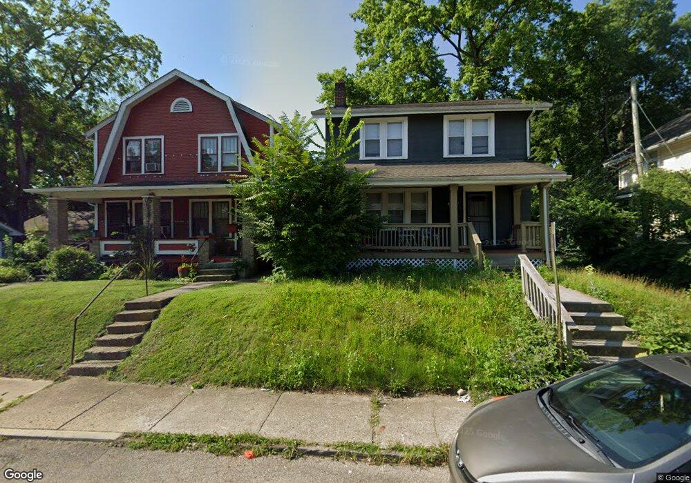
1587 Kent St Unit 589 Columbus, OH 43205
Driving Park NeighborhoodEstimated Value: $214,848 - $327,000
6
Beds
2
Baths
2,184
Sq Ft
$130/Sq Ft
Est. Value
About This Home
This home is located at 1587 Kent St Unit 589, Columbus, OH 43205 and is currently estimated at $283,712, approximately $129 per square foot. 1587 Kent St Unit 589 is a home located in Franklin County with nearby schools including Fairwood Alternative Elementary School, South High School, and Capital Collegiate Preparatory Academy.
Ownership History
Date
Name
Owned For
Owner Type
Purchase Details
Closed on
Feb 11, 2011
Sold by
Simmons Julian and Simmons Esther Pearl
Bought by
Simmons Deborah E
Current Estimated Value
Purchase Details
Closed on
Oct 2, 1961
Bought by
Simmons Julian and Simmons Esther P
Create a Home Valuation Report for This Property
The Home Valuation Report is an in-depth analysis detailing your home's value as well as a comparison with similar homes in the area
Home Values in the Area
Average Home Value in this Area
Purchase History
| Date | Buyer | Sale Price | Title Company |
|---|---|---|---|
| Simmons Deborah E | -- | Real Living | |
| Simmons Julian | -- | -- |
Source: Public Records
Tax History Compared to Growth
Tax History
| Year | Tax Paid | Tax Assessment Tax Assessment Total Assessment is a certain percentage of the fair market value that is determined by local assessors to be the total taxable value of land and additions on the property. | Land | Improvement |
|---|---|---|---|---|
| 2024 | $6,117 | $66,220 | $10,360 | $55,860 |
| 2023 | $2,965 | $66,220 | $10,360 | $55,860 |
| 2022 | $2,826 | $24,820 | $2,660 | $22,160 |
| 2021 | $1,305 | $24,820 | $2,660 | $22,160 |
| 2020 | $1,301 | $24,710 | $2,660 | $22,050 |
| 2019 | $1,215 | $19,780 | $2,140 | $17,640 |
| 2018 | $1,080 | $19,780 | $2,140 | $17,640 |
| 2017 | $1,235 | $19,780 | $2,140 | $17,640 |
| 2016 | $1,077 | $15,540 | $3,010 | $12,530 |
| 2015 | $948 | $15,540 | $3,010 | $12,530 |
| 2014 | $950 | $15,540 | $3,010 | $12,530 |
| 2013 | $552 | $18,305 | $3,570 | $14,735 |
Source: Public Records
Map
Nearby Homes
- 768 Berkeley Rd
- 782 Berkeley Rd
- 736-738 Lilley Ave
- 780-782 Seymour Ave
- 756 Seymour Ave
- 711 Seymour Ave
- 707 Seymour Ave
- 688 Berkeley Rd
- 764-766 Kelton Ave
- 831 Lilley Ave Unit 833
- 812 Kelton Ave Unit 814
- 693 Kelton Ave
- 0 Lilley Ave
- 1612 Cole St
- 623 Seymour Ave
- 751 Bulen Ave
- 730 Miller Ave
- 1390 E Livingston Ave
- 941 Seymour Ave
- 778 Miller Ave
- 1585 Kent St
- 1579 Kent St
- 761 Seymour Ave Unit 763
- 757 Seymour Ave Unit 759
- 761-763 Seymour Ave Unit 2
- 761-763 Seymour Ave
- 753-755 Seymour Ave
- 767 Seymour Ave Unit 769
- 1575 Kent St
- 763 Seymour Ave
- 747 Seymour Ave Unit 749
- 771 Seymour Ave Unit 773
- 753 Seymour Ave Unit 755
- 777 Seymour Ave Unit 779
- 777 Seymour Ave Unit 9
- 758 Berkeley Rd
- 781 Seymour Ave Unit 783
- 781 Seymour Ave Unit 83
- 781-783 Seymour Ave
- 735-737 Seymour Ave