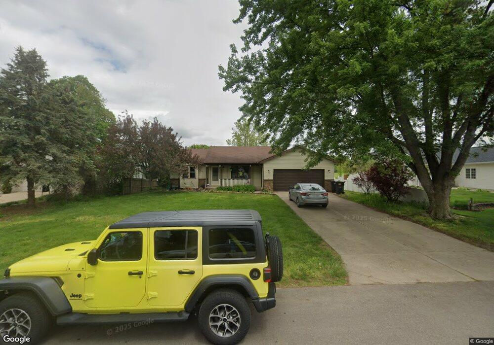
1587 Springbrook Dr Jenison, MI 49428
Estimated Value: $272,000 - $355,000
2
Beds
1
Bath
1
Sq Ft
$321,740/Sq Ft
Est. Value
About This Home
This home is located at 1587 Springbrook Dr, Jenison, MI 49428 and is currently estimated at $321,740, approximately $321,740 per square foot. 1587 Springbrook Dr is a home located in Ottawa County with nearby schools including Bauerwood Elementary School, Jenison Junior High School, and Jenison High School.
Ownership History
Date
Name
Owned For
Owner Type
Purchase Details
Closed on
Nov 24, 2004
Sold by
Christian Timothy S and Christian Bessie M
Bought by
Christian Timothy S and Christian Bessie M
Current Estimated Value
Home Financials for this Owner
Home Financials are based on the most recent Mortgage that was taken out on this home.
Original Mortgage
$139,500
Interest Rate
8.13%
Mortgage Type
Stand Alone Refi Refinance Of Original Loan
Create a Home Valuation Report for This Property
The Home Valuation Report is an in-depth analysis detailing your home's value as well as a comparison with similar homes in the area
Home Values in the Area
Average Home Value in this Area
Purchase History
| Date | Buyer | Sale Price | Title Company |
|---|---|---|---|
| Christian Timothy S | -- | Dba Clear Financial Services |
Source: Public Records
Mortgage History
| Date | Status | Borrower | Loan Amount |
|---|---|---|---|
| Closed | Christian Timothy S | $139,500 |
Source: Public Records
Tax History
| Year | Tax Paid | Tax Assessment Tax Assessment Total Assessment is a certain percentage of the fair market value that is determined by local assessors to be the total taxable value of land and additions on the property. | Land | Improvement |
|---|---|---|---|---|
| 2025 | $2,013 | $140,700 | $0 | $0 |
| 2024 | $19 | $142,700 | $0 | $0 |
| 2023 | $1,848 | $130,400 | $0 | $0 |
| 2022 | $2,028 | $113,000 | $0 | $0 |
| 2021 | $1,969 | $109,100 | $0 | $0 |
| 2020 | $1,948 | $106,100 | $0 | $0 |
| 2019 | $1,950 | $99,400 | $0 | $0 |
| 2018 | $1,802 | $88,900 | $0 | $0 |
| 2017 | $1,770 | $86,300 | $0 | $0 |
| 2016 | $1,760 | $83,100 | $0 | $0 |
| 2015 | $1,679 | $74,300 | $0 | $0 |
| 2014 | $1,679 | $71,800 | $0 | $0 |
Source: Public Records
Map
Nearby Homes
- 8482 Cottonwood Dr
- 1468 Maplewood Dr Unit 9
- 7951 Engelhurst Ct
- 1951 Mulberry Ln
- 1215 Sycamore Dr
- 8252 Lamplight Dr
- 9067 Hollace Ct
- 3270 Hollace Dr
- 2550 Willow View Dr
- 8099 Weatherwax Dr Unit 38
- 7528 Pinegrove Dr
- 7425 Boulder Bluff Dr Unit 112
- 8081 Weatherwax Dr Unit 44
- 932 Village Ln Unit 52
- 7763 Coachman Ln
- 636 Village Ln Unit 94
- 7373 Pinegrove Dr Unit 109
- 7391 Terrace Ln
- 7234 Sunset Ave
- 2143 Sandstone Dr
- 1575 Springbrook Dr
- 1599 Springbrook Dr
- 1565 Springbrook Dr
- 1607 Springbrook Dr
- 8559 Corsica Dr
- 1566 Springbrook Dr
- 1553 Springbrook Dr
- 1552 Springbrook Dr
- 1543 Springbrook Dr
- 8546 Corsica Dr
- 8568 Meadowbrook Dr
- 8596 Meadowbrook Dr
- 8543 Corsica Dr
- 1646 Stonybrook Dr
- 8612 Meadowbrook Dr
- 8536 Corsica Dr
- 1531 Springbrook Dr
- 8552 Meadowbrook Dr
- 1632 Stonybrook Dr
- 8529 Corsica Dr
Your Personal Tour Guide
Ask me questions while you tour the home.