15879 Maple Park Rd Maple Park, IL 60151
Estimated Value: $305,000 - $363,000
1
Bed
1
Bath
1,598
Sq Ft
$209/Sq Ft
Est. Value
About This Home
This home is located at 15879 Maple Park Rd, Maple Park, IL 60151 and is currently estimated at $334,612, approximately $209 per square foot. 15879 Maple Park Rd is a home located in DeKalb County with nearby schools including Kaneland John Stewart Elementary School, Harter Middle School, and Kaneland Senior High School.
Ownership History
Date
Name
Owned For
Owner Type
Purchase Details
Closed on
May 3, 2021
Sold by
Jenny Mark and Jenny Sheri
Bought by
Linden Mathew T and Linden Monica R
Current Estimated Value
Home Financials for this Owner
Home Financials are based on the most recent Mortgage that was taken out on this home.
Original Mortgage
$220,500
Outstanding Balance
$199,828
Interest Rate
3.1%
Mortgage Type
New Conventional
Estimated Equity
$134,784
Create a Home Valuation Report for This Property
The Home Valuation Report is an in-depth analysis detailing your home's value as well as a comparison with similar homes in the area
Home Values in the Area
Average Home Value in this Area
Purchase History
| Date | Buyer | Sale Price | Title Company |
|---|---|---|---|
| Linden Mathew T | $245,000 | None Available |
Source: Public Records
Mortgage History
| Date | Status | Borrower | Loan Amount |
|---|---|---|---|
| Open | Linden Mathew T | $220,500 |
Source: Public Records
Tax History Compared to Growth
Tax History
| Year | Tax Paid | Tax Assessment Tax Assessment Total Assessment is a certain percentage of the fair market value that is determined by local assessors to be the total taxable value of land and additions on the property. | Land | Improvement |
|---|---|---|---|---|
| 2024 | $5,597 | $75,250 | $18,824 | $56,426 |
| 2023 | $5,597 | $70,400 | $17,611 | $52,789 |
| 2022 | $5,479 | $67,189 | $16,808 | $50,381 |
| 2021 | $5,315 | $63,971 | $16,003 | $47,968 |
| 2020 | $5,117 | $61,976 | $15,504 | $46,472 |
| 2019 | $4,970 | $59,375 | $14,853 | $44,522 |
| 2018 | $4,800 | $56,152 | $14,047 | $42,105 |
| 2017 | $4,663 | $53,458 | $13,373 | $40,085 |
| 2016 | $4,386 | $50,243 | $12,569 | $37,674 |
| 2015 | -- | $47,181 | $11,803 | $35,378 |
| 2014 | -- | $45,410 | $11,360 | $34,050 |
| 2013 | -- | $47,057 | $11,772 | $35,285 |
Source: Public Records
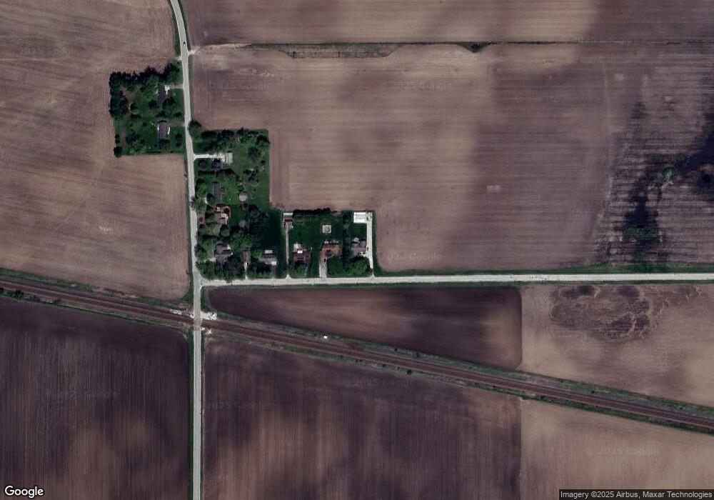
Map
Nearby Homes
- 827 W Hampshire Dr
- 409 S Kincaid St
- 411 S Kincaid St
- 415 S Kincaid St
- 412 S Kincaid St
- 239 S Kincaid St
- 490 S Preston St
- 529 S Kincaid St
- The Louis Plan at Chestnut Grove
- The Magnolia Plan at Chestnut Grove
- 523 S Joliet St
- 528 S Joliet St
- Meadowlark Plan at Heritage Hill Estates
- Starling Plan at Heritage Hill Estates
- Siena II Plan at Heritage Hill Estates
- Townsend Plan at Heritage Hill Estates
- Wren Plan at Heritage Hill Estates
- 504 Preston St
- Berquist Plan at Richland Trails
- Lincoln Plan at Richland Trails
- 15853 Maple Park Rd
- 15831 Maple Park Rd
- 15809 Maple Park Rd
- 19528 Airport Rd
- 19552 Airport Rd
- 19574 Airport Rd
- 19602 Airport Rd
- 19625 Airport Rd
- 19651 Airport Rd
- 19671 Airport Rd
- 15557 Il Route 38
- 15956 Il Route 38
- 15454 Il Route 38
- 16022 Il Route 38
- 20132 Airport Rd
- 15459 North St
- 15150 Il Route 38
- 15423 North St
- 16212 Il Route 38
- 20211 Airport Rd