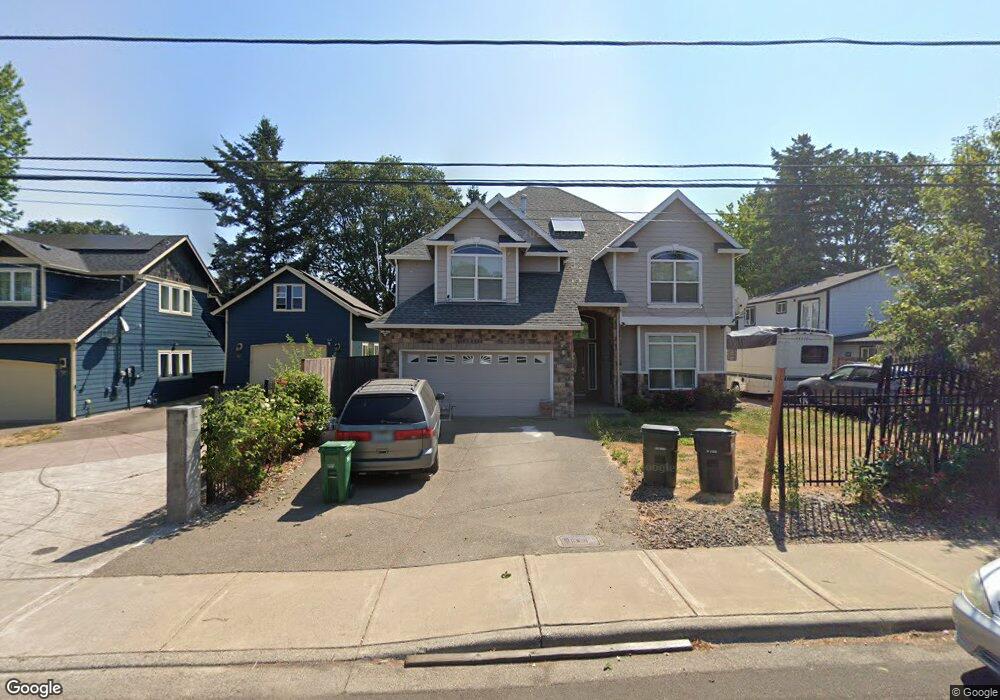
1588 SW 201st Ave Beaverton, OR 97006
Estimated Value: $616,000 - $670,000
4
Beds
4
Baths
2,874
Sq Ft
$227/Sq Ft
Est. Value
About This Home
This home is located at 1588 SW 201st Ave, Beaverton, OR 97006 and is currently estimated at $653,428, approximately $227 per square foot. 1588 SW 201st Ave is a home located in Washington County with nearby schools including L.C. Tobias Elementary School, R.A. Brown Middle School, and Century High School.
Ownership History
Date
Name
Owned For
Owner Type
Purchase Details
Closed on
Dec 14, 2007
Sold by
Barajas Jorge and Miranda Maria E
Bought by
Pham Canh X and Phan Phuong Van V
Current Estimated Value
Home Financials for this Owner
Home Financials are based on the most recent Mortgage that was taken out on this home.
Original Mortgage
$332,000
Interest Rate
5.64%
Mortgage Type
Unknown
Create a Home Valuation Report for This Property
The Home Valuation Report is an in-depth analysis detailing your home's value as well as a comparison with similar homes in the area
Home Values in the Area
Average Home Value in this Area
Purchase History
| Date | Buyer | Sale Price | Title Company |
|---|---|---|---|
| Pham Canh X | $415,000 | First American |
Source: Public Records
Mortgage History
| Date | Status | Borrower | Loan Amount |
|---|---|---|---|
| Previous Owner | Pham Canh X | $332,000 |
Source: Public Records
Tax History
| Year | Tax Paid | Tax Assessment Tax Assessment Total Assessment is a certain percentage of the fair market value that is determined by local assessors to be the total taxable value of land and additions on the property. | Land | Improvement |
|---|---|---|---|---|
| 2026 | $5,206 | $361,720 | -- | -- |
| 2025 | $5,206 | $351,190 | -- | -- |
| 2024 | $5,059 | $340,970 | -- | -- |
| 2023 | $5,059 | $331,040 | $0 | $0 |
| 2022 | $4,876 | $331,040 | $0 | $0 |
| 2021 | $4,784 | $312,040 | $0 | $0 |
| 2020 | $4,685 | $302,960 | $0 | $0 |
| 2019 | $4,537 | $294,140 | $0 | $0 |
| 2018 | $4,340 | $285,580 | $0 | $0 |
| 2017 | $4,177 | $277,270 | $0 | $0 |
| 2016 | $4,069 | $269,200 | $0 | $0 |
| 2015 | $3,902 | $261,360 | $0 | $0 |
| 2014 | $3,836 | $253,750 | $0 | $0 |
Source: Public Records
Map
Nearby Homes
- 1530 SW 201st Ave
- 1535 SW 201st Ave
- 19875 SW Rock Dr
- 19805 SW Rock Rd
- 20386 SW Jay St
- 2189 SW 198th Ave
- 19504 SW Stacey St
- 20070 SW Cedar Grove Ln
- 2007 SW 194th Place
- 887 SW 198th Place
- 19738 SW Ashcroft Ln
- 20583 SW Tesoro Ct
- 778 SW 198th Place
- 1117 SW Kalyca Way
- 19305 SW York St
- 20618 SW Imperial Ln
- 0 W Baseline Rd
- 19692 SW Blackbear Ct
- 20350 SW Johnson St
- 20612 SW Rockport Ln
- 20085 SW Rock Rd
- 1560 SW 201st Ave
- 1565 SW 200th Ct
- 1615 SW 201st Ave
- 1565 SW 201st Ave
- 1535 SW 200th Ct
- 20070 SW Rock Dr
- 1670 SW 203rd Ave
- 20055 SW Rock Dr
- 20165 SW Rock Rd
- 1510 SW 200th Ct
- 1500 SW 201st Ave
- 1541 SW 201st Ave
- 1600 SW 200th Ct
- 1600 SW 200th Ct
- 20050 SW Rock Dr
- 1570 SW 200th Ct
- 20000 SW Rock Rd
- 1494 SW Fritz Place
- 1700 SW 203rd Ave
Your Personal Tour Guide
Ask me questions while you tour the home.