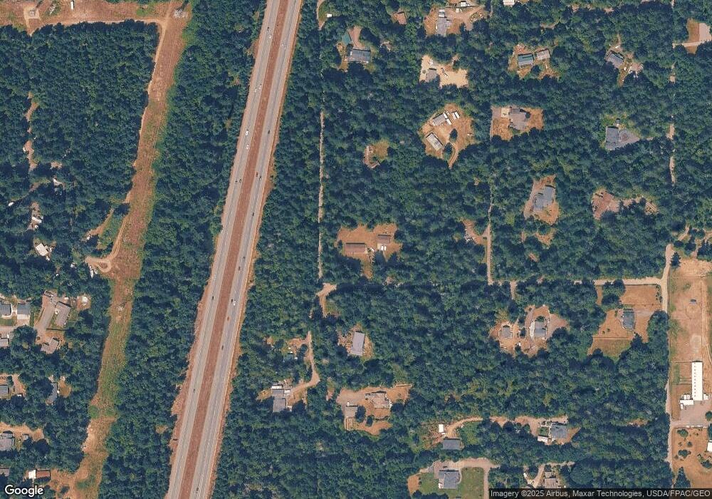
15885 Vincent Rd NW Poulsbo, WA 98370
Estimated Value: $595,000 - $656,000
2
Beds
2
Baths
1,756
Sq Ft
$359/Sq Ft
Est. Value
About This Home
This home is located at 15885 Vincent Rd NW, Poulsbo, WA 98370 and is currently estimated at $629,533, approximately $358 per square foot. 15885 Vincent Rd NW is a home located in Kitsap County with nearby schools including Hilder Pearson Elementary School, Poulsbo Middle School, and North Kitsap High School.
Ownership History
Date
Name
Owned For
Owner Type
Purchase Details
Closed on
Dec 26, 2014
Sold by
Forker Ken D and Hammond Karn Ellen
Bought by
Forker Ken David and Forker Karn Ellen
Current Estimated Value
Purchase Details
Closed on
Apr 1, 2004
Sold by
Turek Morgan E
Bought by
Forker Kenneth D and Hammond Karri E
Home Financials for this Owner
Home Financials are based on the most recent Mortgage that was taken out on this home.
Original Mortgage
$164,000
Interest Rate
5.56%
Mortgage Type
Purchase Money Mortgage
Create a Home Valuation Report for This Property
The Home Valuation Report is an in-depth analysis detailing your home's value as well as a comparison with similar homes in the area
Home Values in the Area
Average Home Value in this Area
Purchase History
| Date | Buyer | Sale Price | Title Company |
|---|---|---|---|
| Forker Ken David | -- | None Available | |
| Forker Kenneth D | $206,000 | Pacific Nw Title |
Source: Public Records
Mortgage History
| Date | Status | Borrower | Loan Amount |
|---|---|---|---|
| Open | Forker Kenneth D | $164,000 | |
| Closed | Forker Kenneth D | $42,000 |
Source: Public Records
Tax History Compared to Growth
Tax History
| Year | Tax Paid | Tax Assessment Tax Assessment Total Assessment is a certain percentage of the fair market value that is determined by local assessors to be the total taxable value of land and additions on the property. | Land | Improvement |
|---|---|---|---|---|
| 2026 | $4,498 | $502,900 | $183,900 | $319,000 |
| 2025 | $4,498 | $502,900 | $183,900 | $319,000 |
| 2024 | $4,106 | $473,380 | $144,880 | $328,500 |
| 2023 | $4,172 | $473,380 | $144,880 | $328,500 |
| 2022 | $3,587 | $385,340 | $120,570 | $264,770 |
| 2021 | $3,674 | $365,780 | $113,480 | $252,300 |
| 2020 | $3,578 | $351,010 | $108,410 | $242,600 |
| 2019 | $3,375 | $330,060 | $101,320 | $228,740 |
| 2018 | $3,088 | $260,200 | $84,430 | $175,770 |
| 2017 | $2,985 | $260,200 | $84,430 | $175,770 |
| 2016 | $3,044 | $244,560 | $84,430 | $160,130 |
| 2015 | $2,947 | $238,300 | $84,430 | $153,870 |
| 2014 | -- | $231,000 | $84,430 | $146,570 |
| 2013 | -- | $231,000 | $84,430 | $146,570 |
Source: Public Records
Map
Nearby Homes
- 2896 Tasia Ln NW
- 16014 Bay Ridge Dr NW
- 15800 Clear Creek Rd NW
- 16214 Bay Ridge Dr NW
- 3021 NW Beth Ln
- 11 Lot Cassie Place NW
- 16038 Cassie Place NW
- 17680 Hallman Rd NW
- 1069 NW Luoto Ct
- 14543 Kingscross Cir NW
- 2958 NW Mountain View Rd Unit F
- 16460 Scandia Rd NW
- 17198 Viking Way NW
- 17711 Viking Way NW
- 1700 NW Marmot Ct
- 13727 Templeton Ave NW
- 1504 NW Lakehill Cir
- 15739 Virginia Loop Rd NE
- 13214 Lakeridge Cir NW
- 13526 Huntley Place NW
- 16008 Vincent Rd NW
- 15881 Vincent Rd NW
- 15891 Vincent Rd NW
- 15903 Vincent Rd NW
- 15893 Vincent Rd NW
- 16200 Vincent Rd NW
- 15895 Vincent Rd NW
- 15922 Vincent Rd NW
- 16060 Vincent Rd NW
- 16060 Vincent Rd NW
- 16660 Hauf Ln NW
- 16055 Hauf Ln NW
- 2220 NW Lockwood Way
- 16644 Hauf Ln NW
- 16133 Hauf Ln NW
- 15845 Vincent Rd NW
- 15781 Vincent Rd NW
- 2240 NW Lockwood Way
- 15986 Orweiler Ln NW
