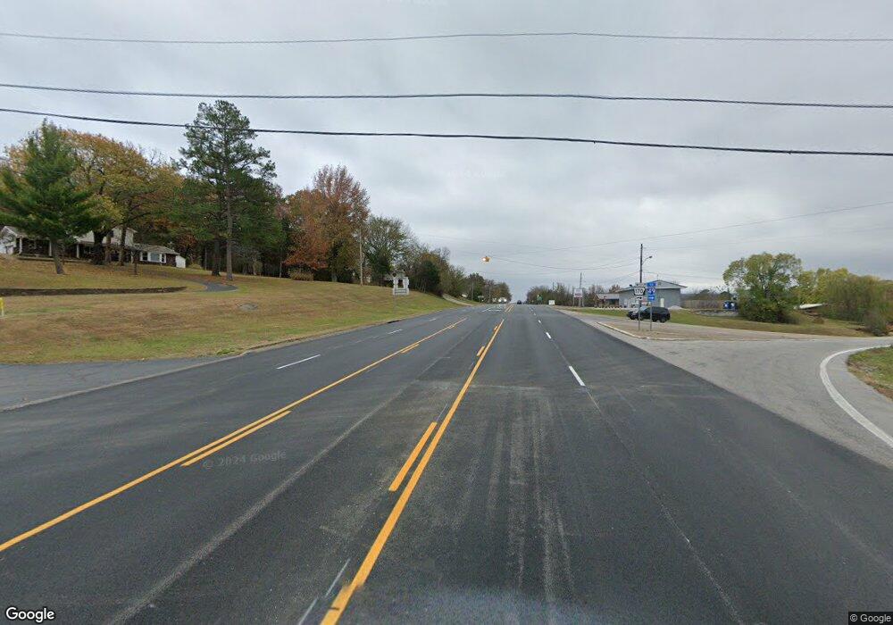
15889 S Hwy 71b West Fork, AR 72774
Estimated Value: $233,000 - $1,794,000
--
Bed
1
Bath
520
Sq Ft
$1,257/Sq Ft
Est. Value
About This Home
This home is located at 15889 S Hwy 71b, West Fork, AR 72774 and is currently estimated at $653,820, approximately $1,257 per square foot. 15889 S Hwy 71b is a home located in Washington County with nearby schools including West Fork Elementary School, West Fork Middle School, and West Fork High School.
Ownership History
Date
Name
Owned For
Owner Type
Purchase Details
Closed on
Nov 30, 2017
Sold by
Long Gene and Long Cheryl
Bought by
Hillerest Holdings Llc
Current Estimated Value
Home Financials for this Owner
Home Financials are based on the most recent Mortgage that was taken out on this home.
Original Mortgage
$428,000
Interest Rate
3.94%
Mortgage Type
Future Advance Clause Open End Mortgage
Purchase Details
Closed on
Apr 8, 1997
Bought by
Thomas Family Revocable Trust
Purchase Details
Closed on
Jan 3, 1996
Bought by
Ross Joyce
Purchase Details
Closed on
Mar 7, 1983
Bought by
Tichenor Lillian W and Ross Joyce
Create a Home Valuation Report for This Property
The Home Valuation Report is an in-depth analysis detailing your home's value as well as a comparison with similar homes in the area
Home Values in the Area
Average Home Value in this Area
Purchase History
| Date | Buyer | Sale Price | Title Company |
|---|---|---|---|
| Hillerest Holdings Llc | $530,000 | Waco Title Co | |
| Hillerest Holdings Llc | $530,000 | Waco Title Co | |
| Thomas Family Revocable Trust | -- | -- | |
| Thomas Family Revocable Trust | -- | -- | |
| Ross Joyce | -- | -- | |
| Ross Joyce | -- | -- | |
| Tichenor Lillian W | -- | -- | |
| Tichenor Lillian W | -- | -- |
Source: Public Records
Mortgage History
| Date | Status | Borrower | Loan Amount |
|---|---|---|---|
| Closed | Hillerest Holdings Llc | $428,000 |
Source: Public Records
Tax History Compared to Growth
Tax History
| Year | Tax Paid | Tax Assessment Tax Assessment Total Assessment is a certain percentage of the fair market value that is determined by local assessors to be the total taxable value of land and additions on the property. | Land | Improvement |
|---|---|---|---|---|
| 2025 | $799 | $16,690 | $5,810 | $10,880 |
| 2024 | $799 | $16,690 | $5,810 | $10,880 |
| 2023 | $765 | $16,690 | $5,810 | $10,880 |
| 2022 | $757 | $14,450 | $4,900 | $9,550 |
| 2021 | $756 | $14,450 | $4,900 | $9,550 |
| 2020 | $500 | $9,950 | $4,900 | $5,050 |
| 2019 | $461 | $8,280 | $4,700 | $3,580 |
| 2018 | $461 | $8,280 | $4,700 | $3,580 |
| 2017 | $386 | $8,280 | $4,700 | $3,580 |
| 2016 | $448 | $8,280 | $4,700 | $3,580 |
| 2015 | $398 | $8,280 | $4,700 | $3,580 |
| 2014 | $405 | $8,420 | $5,060 | $3,360 |
Source: Public Records
Map
Nearby Homes
- 15558 S Highway 71
- 13829 French Rd
- 13590 Sugar Mountain Rd
- 16925 Carpenter Rd
- 14211 Sugar Mountain Rd
- 13608 Sugar Mountain Rd
- 14416 & 14425 Truelove Rd
- TBD Truelove Rd
- 14642 Truelove Rd
- TBD Brentwood Mountain Rd
- 16618 S Highway 71
- TBD Wooten Rd Rd
- 17441 Winn Creek Rd
- 16712 S Highway 71
- 696 E Thornstone Ave
- 16801 S Highway 71
- 14673 Union Star Rd
- 260 Culp Trail
- 15731 Parker Branch Rd
- 222 Rivendale Dr
- 15889 S Highway 71 B
- 15889 S Hwy 71 Hwy
- 15826 S Highway 71
- 15836 S Highway 71
- 13.32 acres Delgado Rd
- 11754 U S 71
- 15877 Delgado Rd
- 15792 S Highway 71
- 15770 Walker Hill Rd
- 15856 Delgado Rd
- 0 Walker Hill Wc3120 Rd Unit 1068051
- 15912 Jacob Rd
- 15684 S Highway 71
- 16099 Mesquite Rd
- 15618 S Highway 71
- 15639 S Hwy 71
- 15639 S Highway 71
- 15618 U S 71
- 15901 S Highway 71
- 15397 U S 71
