Estimated Value: $513,000 - $536,063
Studio
--
Bath
1,389
Sq Ft
$377/Sq Ft
Est. Value
About This Home
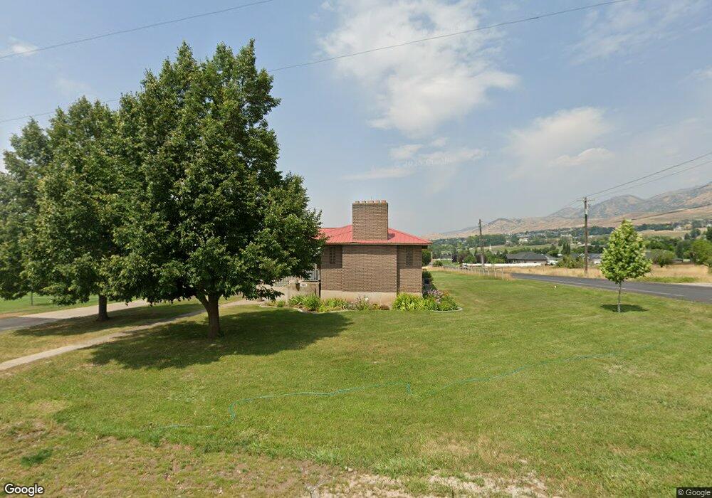
This home is located at 1589 E 2300 N, Logan, UT 84341 and is currently estimated at $524,021, approximately $377 per square foot. 1589 E 2300 N is a home with nearby schools including Greenville School, Cedar Ridge School, and North Cache Middle School.
Ownership History
Date
Name
Owned For
Owner Type
Purchase Details
Closed on
Nov 13, 2019
Sold by
Evans John O and Evans Beverley E
Bought by
Jensen Mathew J and Jensen Amberly E
Current Estimated Value
Purchase Details
Closed on
Dec 19, 2007
Sold by
Evans John O and Evans Beverly E
Bought by
Evans John O and Evans Beverly E
Purchase Details
Closed on
Dec 21, 2001
Sold by
Evans John O and Evans Beverly E
Bought by
Evans John O and Evans Beverly E
Create a Home Valuation Report for This Property
The Home Valuation Report is an in-depth analysis detailing your home's value as well as a comparison with similar homes in the area
Home Values in the Area
Average Home Value in this Area
Purchase History
| Date | Buyer | Sale Price | Title Company |
|---|---|---|---|
| Jensen Mathew J | -- | Hickman Land Title Company | |
| Evans John O | -- | None Available | |
| Evans John O | -- | Hickman Land Title Company |
Source: Public Records
Tax History
| Year | Tax Paid | Tax Assessment Tax Assessment Total Assessment is a certain percentage of the fair market value that is determined by local assessors to be the total taxable value of land and additions on the property. | Land | Improvement |
|---|---|---|---|---|
| 2025 | $2,100 | $294,010 | $0 | $0 |
| 2024 | $2,381 | $310,090 | $0 | $0 |
| 2023 | $1,959 | $238,725 | $0 | $0 |
| 2022 | $2,050 | $238,720 | $0 | $0 |
| 2021 | $1,954 | $352,886 | $121,000 | $231,886 |
| 2020 | $1,768 | $299,374 | $121,000 | $178,374 |
| 2019 | $4,333 | $915,100 | $470,000 | $445,100 |
| 2018 | $3,445 | $719,860 | $349,500 | $370,360 |
| 2017 | $3,350 | $276,450 | $0 | $0 |
| 2016 | $3,402 | $276,420 | $0 | $0 |
| 2015 | $3,414 | $276,390 | $0 | $0 |
| 2014 | $3,335 | $276,550 | $0 | $0 |
| 2013 | -- | $262,615 | $0 | $0 |
Source: Public Records
Map
Nearby Homes
- 1495 E 2300 N
- 1335 E 2300 N
- 2025 N 1550 E
- 1185 E 2500 N
- 1872 N 515 W
- 1593 N 110 W Unit 201
- 611 E 2450 N Unit 1
- 1593 N 110 W Unit 202
- 1593 N 110 W Unit 204
- 1200 W 1400 N
- 2950 N Mahogony Valley Rd E Unit 7
- 1598 N Sharptail Cir
- 1000 W 2500 N
- 2827 E Viewcrest Cir
- 2517 N 2050 E
- 1990 E Canyon Ridge Dr
- 105 E 3100 N
- 1100 E 1900 N Unit 10
- 2573 N 2300 E Unit 45
- 2516 N 2300 E Unit 63
- 2445 N 1600 E
- 1645 E 2450 N Unit 1
- 2455 N 1600 E
- 2449 N 1650 E
- 1657 E 2450 N Unit 2
- 2485 N 1600 E
- 1660 E 2450 N Unit 11
- 2485 N 1600 E
- 1669 E 2450 N Unit 3
- 1680 2450 N
- 1680 E 2450 N Unit 12
- 1680 E 2450 N
- 1501 E 2300 N
- 1675 E 2450 N Unit 4
- 1503 E 2300 N
- 2515 N 1600 E
- 1690 E 2450 N Unit 13
- 1543 E 2300 N
- 1683 E 2450 N
- 1693 E 2450 N Unit 6
Your Personal Tour Guide
Ask me questions while you tour the home.