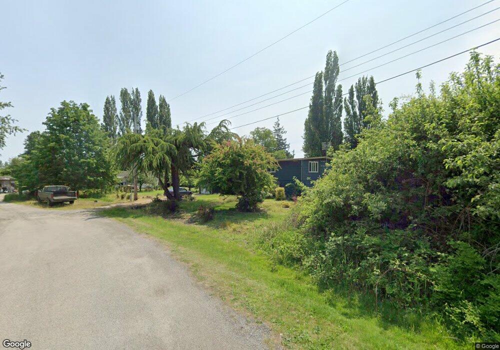
1589 Vista Way Point Roberts, WA 98281
Estimated Value: $496,649 - $533,000
3
Beds
2
Baths
2,160
Sq Ft
$238/Sq Ft
Est. Value
About This Home
This home is located at 1589 Vista Way, Point Roberts, WA 98281 and is currently estimated at $514,412, approximately $238 per square foot. 1589 Vista Way is a home located in Whatcom County with nearby schools including Point Roberts Primary School, Blaine Middle School, and Blaine High School.
Ownership History
Date
Name
Owned For
Owner Type
Purchase Details
Closed on
May 27, 2004
Sold by
Hutchins James R and Hutchins Kathleen A
Bought by
Talbott Deon W
Current Estimated Value
Home Financials for this Owner
Home Financials are based on the most recent Mortgage that was taken out on this home.
Original Mortgage
$100,156
Outstanding Balance
$48,500
Interest Rate
5.86%
Mortgage Type
VA
Estimated Equity
$465,912
Create a Home Valuation Report for This Property
The Home Valuation Report is an in-depth analysis detailing your home's value as well as a comparison with similar homes in the area
Home Values in the Area
Average Home Value in this Area
Purchase History
| Date | Buyer | Sale Price | Title Company |
|---|---|---|---|
| Talbott Deon W | $100,000 | Chicago Title Insurance |
Source: Public Records
Mortgage History
| Date | Status | Borrower | Loan Amount |
|---|---|---|---|
| Open | Talbott Deon W | $100,156 |
Source: Public Records
Tax History Compared to Growth
Tax History
| Year | Tax Paid | Tax Assessment Tax Assessment Total Assessment is a certain percentage of the fair market value that is determined by local assessors to be the total taxable value of land and additions on the property. | Land | Improvement |
|---|---|---|---|---|
| 2024 | $3,489 | $441,794 | $148,756 | $293,038 |
| 2023 | $3,489 | $428,271 | $135,233 | $293,038 |
| 2022 | $2,533 | $391,115 | $123,500 | $267,615 |
| 2021 | $2,523 | $252,033 | $64,205 | $187,828 |
| 2020 | $2,512 | $233,361 | $59,448 | $173,913 |
| 2019 | $2,330 | $223,845 | $57,024 | $166,821 |
| 2018 | $2,215 | $201,235 | $51,264 | $149,971 |
| 2017 | $1,921 | $192,190 | $48,960 | $143,230 |
| 2016 | $2,138 | $188,422 | $48,000 | $140,422 |
| 2015 | $2,274 | $204,115 | $53,136 | $150,979 |
| 2014 | -- | $213,385 | $55,550 | $157,835 |
| 2013 | -- | $203,968 | $53,350 | $150,618 |
Source: Public Records
Map
Nearby Homes
- 1542 Columbia Vista Dr
- 1438 Gulf Rd
- 158 Tyee Dr
- 168 Tyee Dr
- 230 Iris Blvd
- 1379 Gulf Rd
- 11 Lot Rex St
- 1361 Peltier Dr
- 8 Heather Way
- Lot #8 Marine Dr
- 585 Marine Dr
- 581 Marine Dr
- 1561 Ocean View Ln
- 19 Harbor Seal Dr
- 1587 Harbor Seal Dr
- 245 Shady Glen Ave
- 421 W Bluff Rd
- 631 Freemans Ln
- 2 Benson Rd
- 381 W Bluff Rd
- 1567 Vista Way
- 1556 Panorama Dr
- 1548 Panorama Dr
- 1554 Panorama Dr
- 1542 Panorama Dr
- 1568 Panorama Dr
- 0 Panorama Dr
- 0 Lot 4 Panorama Dr
- 1541 Columbia Crescent
- 0 Panorama Lot 4 Dr Unit 1984594
- 1549 Panorama Dr
- 1553 Panorama Dr
- 1537 Columbia Crescent
- 1561 Panorama Dr
- 1555 Panorama Dr
- 469 Tyee Dr
- 1546 Columbia Crescent
- 484 Georgia Way
- 465 Tyee Dr
- 1534 Gulf Rd