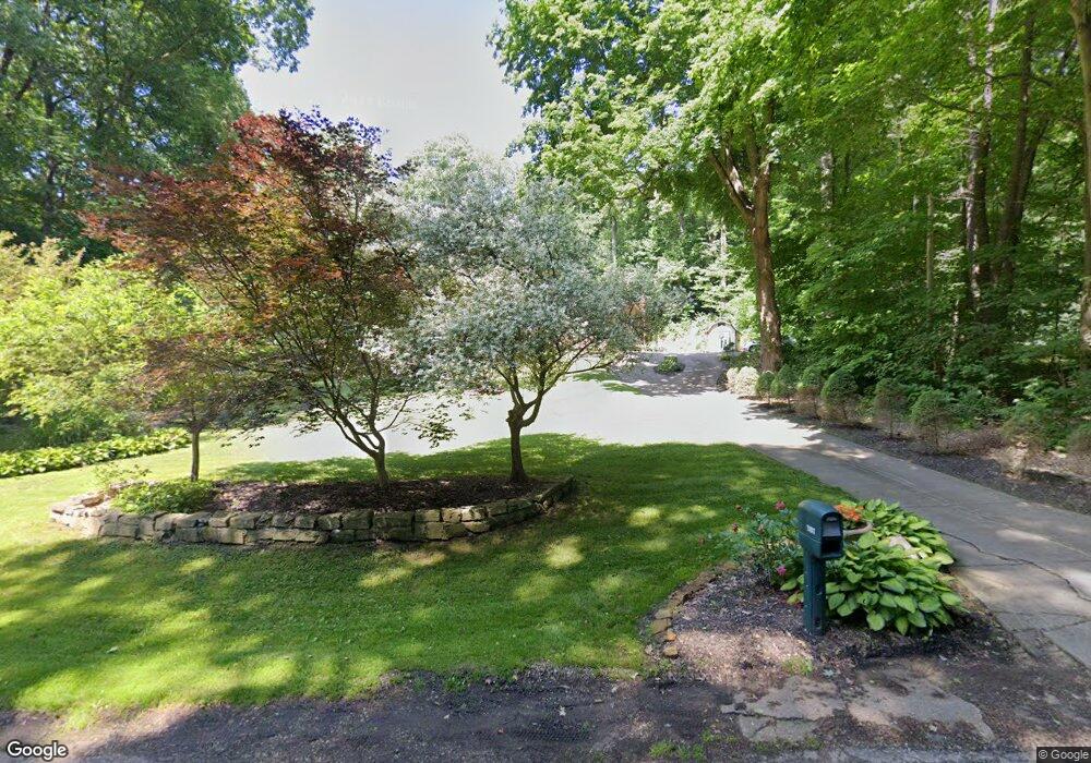
15892 Mccallum Dr Doylestown, OH 44230
Estimated Value: $373,430 - $456,000
4
Beds
3
Baths
2,098
Sq Ft
$197/Sq Ft
Est. Value
About This Home
This home is located at 15892 Mccallum Dr, Doylestown, OH 44230 and is currently estimated at $412,358, approximately $196 per square foot. 15892 Mccallum Dr is a home located in Wayne County with nearby schools including Hazel Harvey Elementary School, Chippewa Intermediate School, and Chippewa Jr./Sr. High School.
Ownership History
Date
Name
Owned For
Owner Type
Purchase Details
Closed on
Oct 1, 1999
Sold by
Deangelis Anthony K
Bought by
Tucker Todd J
Current Estimated Value
Home Financials for this Owner
Home Financials are based on the most recent Mortgage that was taken out on this home.
Original Mortgage
$142,200
Outstanding Balance
$43,264
Interest Rate
7.93%
Mortgage Type
New Conventional
Estimated Equity
$369,094
Purchase Details
Closed on
Feb 14, 1990
Sold by
Philips Michael J and Philips Brend
Bought by
Tucker Todd J
Create a Home Valuation Report for This Property
The Home Valuation Report is an in-depth analysis detailing your home's value as well as a comparison with similar homes in the area
Home Values in the Area
Average Home Value in this Area
Purchase History
| Date | Buyer | Sale Price | Title Company |
|---|---|---|---|
| Tucker Todd J | $158,000 | -- | |
| Tucker Todd J | $89,900 | -- |
Source: Public Records
Mortgage History
| Date | Status | Borrower | Loan Amount |
|---|---|---|---|
| Open | Tucker Todd J | $142,200 |
Source: Public Records
Tax History
| Year | Tax Paid | Tax Assessment Tax Assessment Total Assessment is a certain percentage of the fair market value that is determined by local assessors to be the total taxable value of land and additions on the property. | Land | Improvement |
|---|---|---|---|---|
| 2024 | $3,995 | $115,500 | $20,690 | $94,810 |
| 2023 | $4,014 | $115,500 | $20,690 | $94,810 |
| 2022 | $2,990 | $79,110 | $14,170 | $64,940 |
| 2021 | $3,010 | $79,110 | $14,170 | $64,940 |
| 2020 | $3,029 | $79,110 | $14,170 | $64,940 |
| 2019 | $2,306 | $58,020 | $12,800 | $45,220 |
| 2018 | $2,329 | $58,020 | $12,800 | $45,220 |
| 2017 | $2,275 | $58,020 | $12,800 | $45,220 |
| 2016 | $2,251 | $55,780 | $12,300 | $43,480 |
| 2015 | $2,241 | $55,780 | $12,300 | $43,480 |
| 2014 | $1,967 | $55,780 | $12,300 | $43,480 |
| 2013 | $1,819 | $50,050 | $10,930 | $39,120 |
Source: Public Records
Map
Nearby Homes
- 15899 Mccallum Dr
- 46 Hidden Pond Dr
- 12045 Coal Bank Rd
- 0 S Portage St
- 12249 Whitman Rd
- 288 E Clinton St
- 325 Catawba Path
- 100 Merlot Ct
- 0 Akron Rd Unit 5123781
- 680 Thorn Way
- 620 Thorn Way
- 580 Thorn Way
- 500 W Clinton St
- 12214 Vince Dr
- 14525 Serfass Rd
- 497 Gates St
- 15500 Freedom Dr
- VL 1067 Homan Dr
- 233 Homan Dr
- 16441 Bieri Rd
- 15848 Mccallum Dr
- 15952 Mccallum Dr
- 15905 Mccallum Dr
- 15820 Mccallum Dr
- 15881 Mccallum Dr
- 16000 Mccallum Dr
- 12712 Coal Bank Rd
- 15851 Mccallum Dr
- 15975 Mccallum Dr
- 15784 Mccallum Dr
- 15811 Mccallum Dr
- 12648 Coal Bank Rd
- 12676 Coal Bank Rd
- 12746 Coal Bank Rd
- 12788 Coal Bank Rd
- 15787 Mccallum Dr
- 15605 Mccallum Dr
- 12824 Coal Bank Rd
- 15756 Mccallum Dr
- 12731 Coal Bank Rd
Your Personal Tour Guide
Ask me questions while you tour the home.