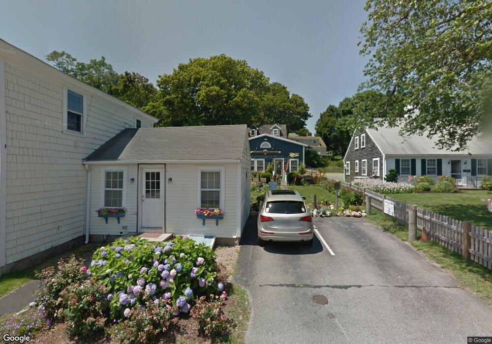
159-161 Front St Scituate, MA 02066
Estimated Value: $943,375
--
Bed
--
Bath
2,156
Sq Ft
$438/Sq Ft
Est. Value
About This Home
This home is located at 159-161 Front St, Scituate, MA 02066 and is currently estimated at $943,375, approximately $437 per square foot. 159-161 Front St is a home located in Plymouth County with nearby schools including St Bridget School.
Ownership History
Date
Name
Owned For
Owner Type
Purchase Details
Closed on
Nov 30, 2012
Sold by
Gamfam Llc
Bought by
Blcr Holdings Llc
Current Estimated Value
Purchase Details
Closed on
Apr 17, 2002
Sold by
Gamble William L
Bought by
Gamfam Llc
Purchase Details
Closed on
Oct 2, 1992
Sold by
Brookline Coop Bk
Bought by
Gamble William L
Home Financials for this Owner
Home Financials are based on the most recent Mortgage that was taken out on this home.
Original Mortgage
$60,000
Interest Rate
7.83%
Mortgage Type
Commercial
Create a Home Valuation Report for This Property
The Home Valuation Report is an in-depth analysis detailing your home's value as well as a comparison with similar homes in the area
Home Values in the Area
Average Home Value in this Area
Purchase History
| Date | Buyer | Sale Price | Title Company |
|---|---|---|---|
| Blcr Holdings Llc | $395,000 | -- | |
| Gamfam Llc | $10,000 | -- | |
| Gamfam Llc | $10,000 | -- | |
| Gamble William L | $230,000 | -- |
Source: Public Records
Mortgage History
| Date | Status | Borrower | Loan Amount |
|---|---|---|---|
| Previous Owner | Gamble William L | $60,000 |
Source: Public Records
Tax History Compared to Growth
Tax History
| Year | Tax Paid | Tax Assessment Tax Assessment Total Assessment is a certain percentage of the fair market value that is determined by local assessors to be the total taxable value of land and additions on the property. | Land | Improvement |
|---|---|---|---|---|
| 2025 | $6,393 | $639,900 | $0 | $639,900 |
| 2024 | $6,435 | $621,100 | $0 | $621,100 |
| 2023 | $6,497 | $591,500 | $0 | $591,500 |
| 2022 | $6,497 | $514,800 | $0 | $514,800 |
| 2021 | $9,371 | $500,000 | $0 | $500,000 |
| 2020 | $9,239 | $500,000 | $0 | $500,000 |
| 2019 | $6,378 | $464,200 | $0 | $464,200 |
| 2018 | $5,530 | $396,400 | $0 | $396,400 |
| 2017 | $5,585 | $396,400 | $0 | $396,400 |
| 2016 | $5,605 | $396,400 | $0 | $396,400 |
| 2015 | $5,193 | $396,400 | $0 | $396,400 |
Source: Public Records
Map
Nearby Homes
- 309 Old South Ave
- 305 Old South Ave
- 305 Old Ave S Unit 2
- 305 Old Ave S
- 315 Old Ave S
- 315 Old Ave S Unit 3
- 315 Old Ave S Unit 1
- 344 Commercial St
- 303 Old South Ave
- 303 South Ave
- 388 Commercial St
- 311 South Ave
- 332 Commercial St
- 366 Commercial St
- 291 Old South Ave
- 324 Commercial St
- 324 Commercial St Unit 3
- 324 Commercial St Unit 2
- 347 Commercial St
- 351 Commercial St