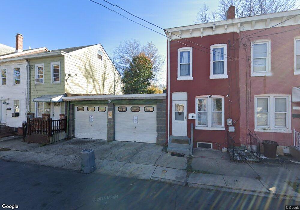
159 Ashmore Ave Trenton, NJ 08611
Chambersburg NeighborhoodEstimated Value: $147,000 - $170,000
--
Bed
--
Bath
988
Sq Ft
$160/Sq Ft
Est. Value
About This Home
This home is located at 159 Ashmore Ave, Trenton, NJ 08611 and is currently estimated at $158,333, approximately $160 per square foot. 159 Ashmore Ave is a home located in Mercer County with nearby schools including Grant Elementary School, Washington Elementary School, and Grace A Dunn Middle School.
Ownership History
Date
Name
Owned For
Owner Type
Purchase Details
Closed on
Feb 28, 2019
Sold by
Kreisler Mark and Kreisler Rena
Bought by
Michelles Homes Llc
Current Estimated Value
Purchase Details
Closed on
Nov 12, 2004
Purchase Details
Closed on
Oct 17, 1995
Sold by
Ritter Catherine
Bought by
Black Michael
Home Financials for this Owner
Home Financials are based on the most recent Mortgage that was taken out on this home.
Original Mortgage
$27,000
Interest Rate
7.62%
Create a Home Valuation Report for This Property
The Home Valuation Report is an in-depth analysis detailing your home's value as well as a comparison with similar homes in the area
Home Values in the Area
Average Home Value in this Area
Purchase History
| Date | Buyer | Sale Price | Title Company |
|---|---|---|---|
| Michelles Homes Llc | $620,000 | Emerald Title Agency Llc | |
| -- | -- | -- | |
| Black Michael | $39,000 | -- |
Source: Public Records
Mortgage History
| Date | Status | Borrower | Loan Amount |
|---|---|---|---|
| Previous Owner | Black Michael | $27,000 |
Source: Public Records
Tax History Compared to Growth
Tax History
| Year | Tax Paid | Tax Assessment Tax Assessment Total Assessment is a certain percentage of the fair market value that is determined by local assessors to be the total taxable value of land and additions on the property. | Land | Improvement |
|---|---|---|---|---|
| 2025 | $2,808 | $48,400 | $9,100 | $39,300 |
| 2024 | $2,694 | $48,400 | $9,100 | $39,300 |
| 2023 | $2,694 | $48,400 | $9,100 | $39,300 |
| 2022 | $2,642 | $48,400 | $9,100 | $39,300 |
| 2021 | $2,688 | $48,400 | $9,100 | $39,300 |
| 2020 | $2,679 | $48,400 | $9,100 | $39,300 |
| 2019 | $2,636 | $48,400 | $9,100 | $39,300 |
| 2018 | $2,523 | $48,400 | $9,100 | $39,300 |
| 2017 | $2,398 | $48,400 | $9,100 | $39,300 |
| 2016 | $3,302 | $57,400 | $17,200 | $40,200 |
| 2015 | $3,291 | $57,400 | $17,200 | $40,200 |
| 2014 | $3,275 | $57,400 | $17,200 | $40,200 |
Source: Public Records
Map
Nearby Homes
- 150 Ashmore Ave
- 724 Division St
- 327 Woodland St
- 225 Franklin St
- 11 Cummings Ave
- 414 Commonwealth Ave
- 207 Howell St
- 1447 S Clinton Ave
- 113 Mifflin St
- 1521 S Clinton Ave
- 978 S Broad St
- 320 Commonwealth Ave
- 127 Kent St
- 526 Columbus Ave
- 211 Elm St
- 508 Dayton St
- 212 Commonwealth Ave
- 826 S Clinton Ave
- 1012 Franklin St
- 1304 S Broad St
- 157 Ashmore Ave
- 165 Ashmore Ave
- 167 Ashmore Ave
- 151 Ashmore Ave
- 169 Ashmore Ave
- 149 Ashmore Ave
- 171 Ashmore Ave
- 252 Cummings Ave
- 250 Cummings Ave
- 254 Cummings Ave
- 256 Cummings Ave
- 248 Cummings Ave
- 258 Cummings Ave
- 246 Cummings Ave
- 262 Cummings Ave
- 244 Cummings Ave
- 264 Cummings Ave
- 147 Ashmore Ave
- 268 Cummings Ave
- 270 Cummings Ave