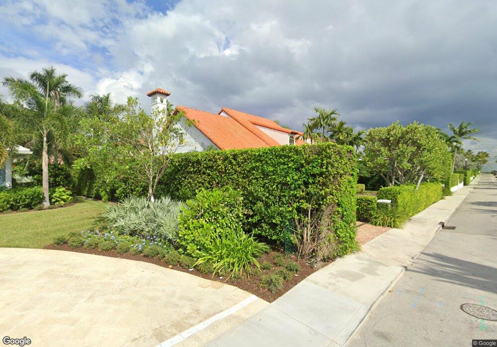
159 Atlantic Ave Palm Beach, FL 33480
Estimated Value: $8,242,433 - $8,912,000
Studio
4
Baths
3,211
Sq Ft
$2,702/Sq Ft
Est. Value
About This Home
This home is located at 159 Atlantic Ave, Palm Beach, FL 33480 and is currently estimated at $8,676,811, approximately $2,702 per square foot. 159 Atlantic Ave is a home located in Palm Beach County with nearby schools including The Conservatory School at North Palm Beach, Howell L. Watkins Middle School, and Palm Beach Gardens Community High School.
Ownership History
Date
Name
Owned For
Owner Type
Purchase Details
Closed on
Jun 18, 1996
Sold by
Emily C Bowman Tr
Bought by
Boner Clive and Boner Deborah
Current Estimated Value
Home Financials for this Owner
Home Financials are based on the most recent Mortgage that was taken out on this home.
Original Mortgage
$625,000
Outstanding Balance
$31,091
Interest Rate
7.94%
Mortgage Type
New Conventional
Estimated Equity
$8,645,720
Create a Home Valuation Report for This Property
The Home Valuation Report is an in-depth analysis detailing your home's value as well as a comparison with similar homes in the area
Home Values in the Area
Average Home Value in this Area
Purchase History
| Date | Buyer | Sale Price | Title Company |
|---|---|---|---|
| Boner Clive | $850,000 | -- |
Source: Public Records
Mortgage History
| Date | Status | Borrower | Loan Amount |
|---|---|---|---|
| Open | Boner Clive | $100,000 | |
| Open | Boner Clive | $625,000 |
Source: Public Records
Tax History
| Year | Tax Paid | Tax Assessment Tax Assessment Total Assessment is a certain percentage of the fair market value that is determined by local assessors to be the total taxable value of land and additions on the property. | Land | Improvement |
|---|---|---|---|---|
| 2025 | $17,348 | $1,227,536 | -- | -- |
| 2024 | $17,348 | $1,192,941 | -- | -- |
| 2023 | $16,986 | $1,158,195 | $0 | $0 |
| 2022 | $16,996 | $1,124,461 | $0 | $0 |
| 2021 | $17,252 | $1,091,710 | $0 | $0 |
| 2020 | $18,025 | $1,076,637 | $0 | $0 |
| 2019 | $17,982 | $1,052,431 | $0 | $0 |
| 2018 | $17,105 | $1,032,808 | $0 | $0 |
| 2017 | $17,091 | $1,011,565 | $0 | $0 |
| 2016 | $16,528 | $990,759 | $0 | $0 |
| 2015 | $17,088 | $983,872 | $0 | $0 |
| 2014 | $17,169 | $976,063 | $0 | $0 |
Source: Public Records
Map
Nearby Homes
- 113 Ebbtide Dr
- 701 Buoy Rd
- 706 Lakeside Cir
- 700 Lakeside Cir
- 712 Lakeside Cir
- 107 Bowsprit Dr
- 130 Bowsprit Dr
- 101 Bowsprit Dr
- 416 Inlet Rd
- 424 Ebbtide Dr
- 415 US Highway 1 Unit 208
- 109 Paradise Harbour Blvd Unit 508
- 109 Paradise Harbour Blvd Unit 307
- 109 Paradise Harbour Blvd Unit 514 + Boat Slips 4 &
- 109 Paradise Harbour Blvd Unit 409
- 109 Paradise Harbour Blvd Unit 415
- 440 Harbour Rd
- 425 Marlin Rd
- 105 Paradise Harbour Blvd Unit 109
- 105 Paradise Harbour Blvd Unit 506
- 162 Atlantic Ave
- 130 Atlantic Rd
- 119 Atlantic Rd
- 125 Atlantic Rd
- 124 Atlantic Rd
- 136 Atlantic Rd
- 631 Lakeside Dr
- 118 Atlantic Rd
- 131 Atlantic Rd
- 142 Atlantic Rd
- 643 Lakeside Ct
- 637 Lakeside Dr
- 112 Atlantic Rd
- 649 Lakeside Ct
- 636 Atlantic Rd
- 143 Ebbtide Dr
- 149 Ebbtide Dr
- 630 Lakeside Dr
- 636 Lakeside Dr
- 131 Ebbtide Dr
Your Personal Tour Guide
Ask me questions while you tour the home.