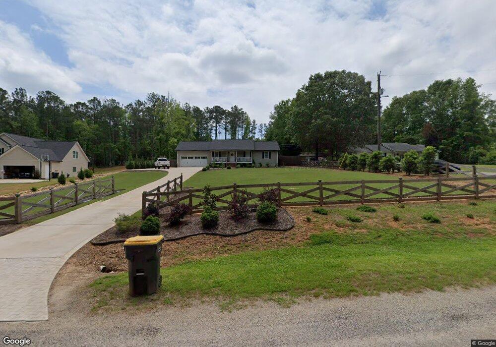
159 Avalee Rd Brooks, GA 30205
Spalding County NeighborhoodEstimated Value: $243,670 - $343,000
Studio
2
Baths
1,260
Sq Ft
$230/Sq Ft
Est. Value
About This Home
This home is located at 159 Avalee Rd, Brooks, GA 30205 and is currently estimated at $289,918, approximately $230 per square foot. 159 Avalee Rd is a home located in Spalding County with nearby schools including Moreland Road Elementary School, Carver Road Middle School, and Griffin High School.
Ownership History
Date
Name
Owned For
Owner Type
Purchase Details
Closed on
Apr 22, 2003
Sold by
Moore Larry B
Bought by
Mckoon William A
Current Estimated Value
Home Financials for this Owner
Home Financials are based on the most recent Mortgage that was taken out on this home.
Original Mortgage
$104,263
Outstanding Balance
$43,116
Interest Rate
5.6%
Mortgage Type
FHA
Estimated Equity
$246,802
Purchase Details
Closed on
Jan 21, 1992
Sold by
Smith Ashley Berrell
Bought by
Moore Larry B and Moore Debra S
Purchase Details
Closed on
May 2, 1989
Sold by
Stroemer Robert C and Stroemer Carole
Bought by
Smith Ashley Berrell
Purchase Details
Closed on
Feb 5, 1973
Sold by
Freeman Ralph W and Dalon Lambert D
Bought by
Kile Lee E and Kile Margaret W
Purchase Details
Closed on
Mar 17, 1972
Bought by
Frrman Ralph W and Dalon Lambert D
Create a Home Valuation Report for This Property
The Home Valuation Report is an in-depth analysis detailing your home's value as well as a comparison with similar homes in the area
Home Values in the Area
Average Home Value in this Area
Purchase History
| Date | Buyer | Sale Price | Title Company |
|---|---|---|---|
| Mckoon William A | $105,900 | -- | |
| Moore Larry B | $70,000 | -- | |
| Smith Ashley Berrell | $8,000 | -- | |
| Kile Lee E | $3,800 | -- | |
| Frrman Ralph W | -- | -- |
Source: Public Records
Mortgage History
| Date | Status | Borrower | Loan Amount |
|---|---|---|---|
| Open | Mckoon William A | $104,263 |
Source: Public Records
Tax History
| Year | Tax Paid | Tax Assessment Tax Assessment Total Assessment is a certain percentage of the fair market value that is determined by local assessors to be the total taxable value of land and additions on the property. | Land | Improvement |
|---|---|---|---|---|
| 2025 | $2,666 | $76,342 | $8,520 | $67,822 |
| 2024 | $2,468 | $70,804 | $8,520 | $62,284 |
| 2023 | $2,468 | $70,804 | $8,520 | $62,284 |
| 2022 | $2,402 | $67,866 | $7,400 | $60,466 |
| 2021 | $1,847 | $52,598 | $4,000 | $48,598 |
| 2020 | $1,094 | $31,794 | $4,000 | $27,794 |
| 2019 | $1,116 | $31,794 | $4,000 | $27,794 |
| 2018 | $1,052 | $29,336 | $4,000 | $25,336 |
| 2017 | $1,023 | $29,336 | $4,000 | $25,336 |
| 2016 | $1,042 | $29,336 | $4,000 | $25,336 |
| 2015 | $1,074 | $29,336 | $4,000 | $25,336 |
| 2014 | $1,095 | $29,336 | $4,000 | $25,336 |
Source: Public Records
Map
Nearby Homes
- 240 Avalee Rd
- 210 Mockingbird Ln
- 161 Mockingbird Ln
- 100 Fairview Rd
- 9902 Highway 16
- 30 Ashwood Ct
- 295 Staffin Dr
- 315 Staffin Dr
- 275 Staffin Dr
- 360 Staffin Dr
- 350 Staffin Dr
- 310 Staffin Dr
- 335 Staffin Dr
- 340 Staffin Dr
- 325 Staffin Dr
- 370 Staffin Dr
- 365 Staffin Dr
- 330 Staffin Dr
- LOT 3 Mask Road - Hanner's Farm N
- LOT 7 Mask Road - Hanner's Farm S
Your Personal Tour Guide
Ask me questions while you tour the home.