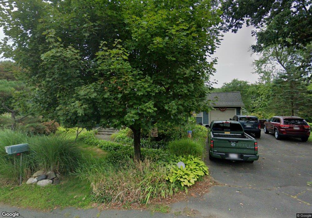
159 Bates Rd Westfield, MA 01085
Estimated Value: $335,000 - $399,000
3
Beds
2
Baths
1,350
Sq Ft
$274/Sq Ft
Est. Value
About This Home
This home is located at 159 Bates Rd, Westfield, MA 01085 and is currently estimated at $370,480, approximately $274 per square foot. 159 Bates Rd is a home located in Hampden County with nearby schools including Westfield High School and Saint Mary High School.
Ownership History
Date
Name
Owned For
Owner Type
Purchase Details
Closed on
Nov 1, 2024
Sold by
Kanavaros Ilias L and Kanavaros Linda M
Bought by
Kanavaros Ilias L and Kanavaros Linda M
Current Estimated Value
Purchase Details
Closed on
Jul 29, 1999
Sold by
Lafreniere Rt and Lafreniere Leon
Bought by
Kanavaros Ilias L and Kanavaros Linda M
Home Financials for this Owner
Home Financials are based on the most recent Mortgage that was taken out on this home.
Original Mortgage
$94,400
Interest Rate
7.61%
Mortgage Type
Purchase Money Mortgage
Create a Home Valuation Report for This Property
The Home Valuation Report is an in-depth analysis detailing your home's value as well as a comparison with similar homes in the area
Home Values in the Area
Average Home Value in this Area
Purchase History
| Date | Buyer | Sale Price | Title Company |
|---|---|---|---|
| Kanavaros Ilias L | -- | None Available | |
| Kanavaros Ilias L | -- | None Available | |
| Kanavaros Ilias L | $118,000 | -- | |
| Kanavaros Ilias L | $118,000 | -- |
Source: Public Records
Mortgage History
| Date | Status | Borrower | Loan Amount |
|---|---|---|---|
| Previous Owner | Kanavaros Ilias L | $94,400 | |
| Previous Owner | Kanavaros Ilias L | $22,000 |
Source: Public Records
Tax History
| Year | Tax Paid | Tax Assessment Tax Assessment Total Assessment is a certain percentage of the fair market value that is determined by local assessors to be the total taxable value of land and additions on the property. | Land | Improvement |
|---|---|---|---|---|
| 2025 | $4,838 | $318,700 | $131,700 | $187,000 |
| 2024 | $4,825 | $302,100 | $120,100 | $182,000 |
| 2023 | $4,502 | $274,400 | $114,200 | $160,200 |
| 2022 | $4,502 | $243,500 | $101,700 | $141,800 |
| 2021 | $4,365 | $231,200 | $96,100 | $135,100 |
| 2020 | $4,256 | $221,100 | $96,100 | $125,000 |
| 2019 | $4,162 | $211,600 | $91,600 | $120,000 |
| 2018 | $4,097 | $211,600 | $91,600 | $120,000 |
| 2017 | $4,039 | $208,000 | $93,000 | $115,000 |
| 2016 | $4,044 | $208,000 | $93,000 | $115,000 |
| 2015 | $3,856 | $208,000 | $93,000 | $115,000 |
| 2014 | $2,884 | $208,000 | $93,000 | $115,000 |
Source: Public Records
Map
Nearby Homes
- 1430 Russell Rd Unit 19
- 1430 Russell Rd Unit 35
- 44 Llewellyn Dr
- 30 Llewellyn Dr
- 745 West Rd
- 49 Glasgow Dr
- 315 Woronoco Rd
- 1368 Granville Rd
- Lot 52,53 Bayberry Ln
- 14 Loring Ln
- 0 Woodland Way
- 324 Russell Rd Unit 204
- 324 Russell Rd Unit 109
- 324 Russell Rd Unit 101
- 44 Kensington Ave
- 42 Putnam Dr
- 0 Fox Hill Dr
- 145 Honey Pot Rd
- 76 Kane Brothers Cir
- 163 Prospect Street Extension
Your Personal Tour Guide
Ask me questions while you tour the home.