159 Bates Trail West Greenwich, RI 02817
Estimated Value: $742,503 - $806,000
3
Beds
3
Baths
1,935
Sq Ft
$399/Sq Ft
Est. Value
About This Home
This home is located at 159 Bates Trail, West Greenwich, RI 02817 and is currently estimated at $772,876, approximately $399 per square foot. 159 Bates Trail is a home located in Kent County with nearby schools including Mildred E. Lineham School, Wawaloam School, and Metcalf School.
Ownership History
Date
Name
Owned For
Owner Type
Purchase Details
Closed on
Jan 5, 2015
Sold by
Iacono Mark A and Iacono Cheri
Bought by
Iacono Mark A
Current Estimated Value
Purchase Details
Closed on
May 3, 2011
Sold by
Pratt Robert E Est
Bought by
Iacono Mark A and Iaocno Cherie L
Home Financials for this Owner
Home Financials are based on the most recent Mortgage that was taken out on this home.
Original Mortgage
$240,000
Interest Rate
4.76%
Mortgage Type
Purchase Money Mortgage
Create a Home Valuation Report for This Property
The Home Valuation Report is an in-depth analysis detailing your home's value as well as a comparison with similar homes in the area
Home Values in the Area
Average Home Value in this Area
Purchase History
| Date | Buyer | Sale Price | Title Company |
|---|---|---|---|
| Iacono Mark A | -- | -- | |
| Iacono Mark A | $340,000 | -- |
Source: Public Records
Mortgage History
| Date | Status | Borrower | Loan Amount |
|---|---|---|---|
| Open | Iacono Mark A | $100,000 | |
| Closed | Iacono Mark A | $100,000 | |
| Previous Owner | Iacono Mark A | $310,000 | |
| Previous Owner | Iacono Mark A | $240,000 |
Source: Public Records
Tax History Compared to Growth
Tax History
| Year | Tax Paid | Tax Assessment Tax Assessment Total Assessment is a certain percentage of the fair market value that is determined by local assessors to be the total taxable value of land and additions on the property. | Land | Improvement |
|---|---|---|---|---|
| 2024 | $9,222 | $576,400 | $248,700 | $327,700 |
| 2023 | $10,466 | $427,000 | $208,600 | $218,400 |
| 2022 | $10,466 | $427,000 | $208,600 | $218,400 |
| 2021 | $10,261 | $427,000 | $208,600 | $218,400 |
| 2020 | $10,158 | $427,000 | $208,600 | $218,400 |
| 2019 | $9,344 | $386,600 | $208,600 | $178,000 |
| 2018 | $8,969 | $378,500 | $191,100 | $187,400 |
| 2017 | $8,535 | $378,500 | $191,100 | $187,400 |
| 2016 | $8,840 | $392,000 | $179,400 | $212,600 |
| 2015 | $8,840 | $392,000 | $179,400 | $212,600 |
| 2013 | $8,386 | $371,900 | $173,700 | $198,200 |
Source: Public Records
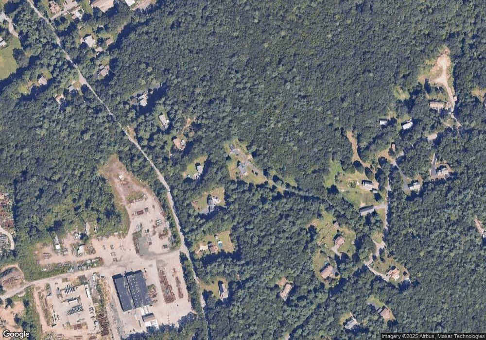
Map
Nearby Homes
- 69 Bates Trail
- 15 Forest Ln
- 81 Shippee Rd
- 3 Amore Ln
- 1 Amore Ln
- 130 Tipping Rock Dr
- 140 Tipping Rock Dr
- 116 Tipping Rock Dr
- 0 Tipping Rock Dr Unit 1377285
- 2 Amore Ln
- 4 Amore Ln
- 0 Amore Ln Unit 1386811
- 0 Princess Pine Dr
- 105 Princess Pine Dr
- 85 Sheep Farm Dr
- 50 Pheasant Dr
- 60 Pheasant Dr
- 20 Mcpartland Way
- 2 Corr Way
- 20 Bailey Blvd
- 676 Hopkins Hill Rd
- 684 Hopkins Hill Rd
- 670 Hopkins Hill Rd
- 690 Hopkins Hill Rd
- 662 Hopkins Hill Rd
- 155 Bates Trail
- 654 Hopkins Hill Rd
- 177 Bates Trail
- 700 Hopkins Hill Rd
- 195 Bates Trail
- 157 Bates Trail
- 187 Bates Trail
- 689 Hopkins Hill Rd
- 150 Bates Trail
- 145 Bates Trail
- 176 Bates Trail
- 643 Hopkins Hill Rd
- 192 Bates Trail
- 640 Hopkins Hill Rd
- 200 Bates Trail