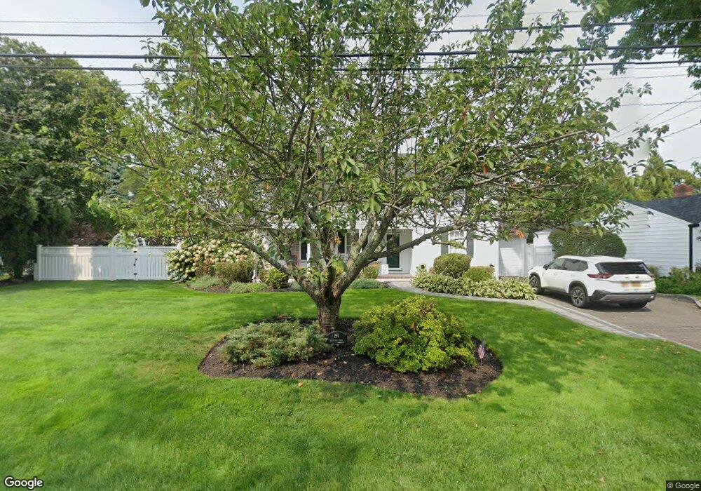
159 Brewster Rd Massapequa, NY 11758
Estimated Value: $971,003 - $1,015,000
4
Beds
3
Baths
2,350
Sq Ft
$423/Sq Ft
Est. Value
About This Home
This home is located at 159 Brewster Rd, Massapequa, NY 11758 and is currently estimated at $993,002, approximately $422 per square foot. 159 Brewster Rd is a home located in Nassau County with nearby schools including Berner Middle School, Massapequa High School - Ames Campus, and Massapequa High School.
Ownership History
Date
Name
Owned For
Owner Type
Purchase Details
Closed on
Jun 8, 2017
Sold by
Savior Richard D and Savior Diane C
Bought by
Vigneron Simona P and Vigneron Pierre R
Current Estimated Value
Home Financials for this Owner
Home Financials are based on the most recent Mortgage that was taken out on this home.
Original Mortgage
$600,000
Outstanding Balance
$499,484
Interest Rate
4.05%
Mortgage Type
New Conventional
Estimated Equity
$493,518
Create a Home Valuation Report for This Property
The Home Valuation Report is an in-depth analysis detailing your home's value as well as a comparison with similar homes in the area
Home Values in the Area
Average Home Value in this Area
Purchase History
| Date | Buyer | Sale Price | Title Company |
|---|---|---|---|
| Vigneron Simona P | $751,000 | The Judicial Title Insurance |
Source: Public Records
Mortgage History
| Date | Status | Borrower | Loan Amount |
|---|---|---|---|
| Open | Vigneron Simona P | $600,000 |
Source: Public Records
Tax History Compared to Growth
Tax History
| Year | Tax Paid | Tax Assessment Tax Assessment Total Assessment is a certain percentage of the fair market value that is determined by local assessors to be the total taxable value of land and additions on the property. | Land | Improvement |
|---|---|---|---|---|
| 2025 | $16,131 | $607 | $247 | $360 |
| 2024 | $4,503 | $622 | $253 | $369 |
| 2023 | $17,300 | $680 | $277 | $403 |
| 2022 | $17,300 | $685 | $279 | $406 |
| 2021 | $17,324 | $686 | $280 | $406 |
| 2020 | $19,229 | $1,051 | $789 | $262 |
| 2019 | $17,881 | $1,127 | $761 | $366 |
| 2018 | $17,747 | $1,253 | $0 | $0 |
| 2017 | $10,944 | $1,253 | $846 | $407 |
| 2016 | $16,452 | $1,253 | $803 | $450 |
| 2015 | $4,915 | $1,253 | $803 | $450 |
| 2014 | $4,915 | $1,253 | $803 | $450 |
| 2013 | $4,714 | $1,320 | $846 | $474 |
Source: Public Records
Map
Nearby Homes
- 160 Harbor Ln
- 71 Overlea St E
- 91 Harbor Ln
- 22 Mansfield Dr
- 61 Birch Ln
- 34 Andrews Dr
- 37 Hampton Blvd
- 55 Laurel Dr
- 1 Willa Way
- 22 Fairview Rd W
- 6 Fairview Rd W
- 100 Biltmore Blvd
- 2 Adam Rd W
- 31 Morton Ave
- 61 Riviera Dr S
- 153 Biltmore Blvd
- 53 Clearwater Ave
- 9 Suzanne B Ct
- 305 Riviera Dr S
- 43 Seabreeze Rd