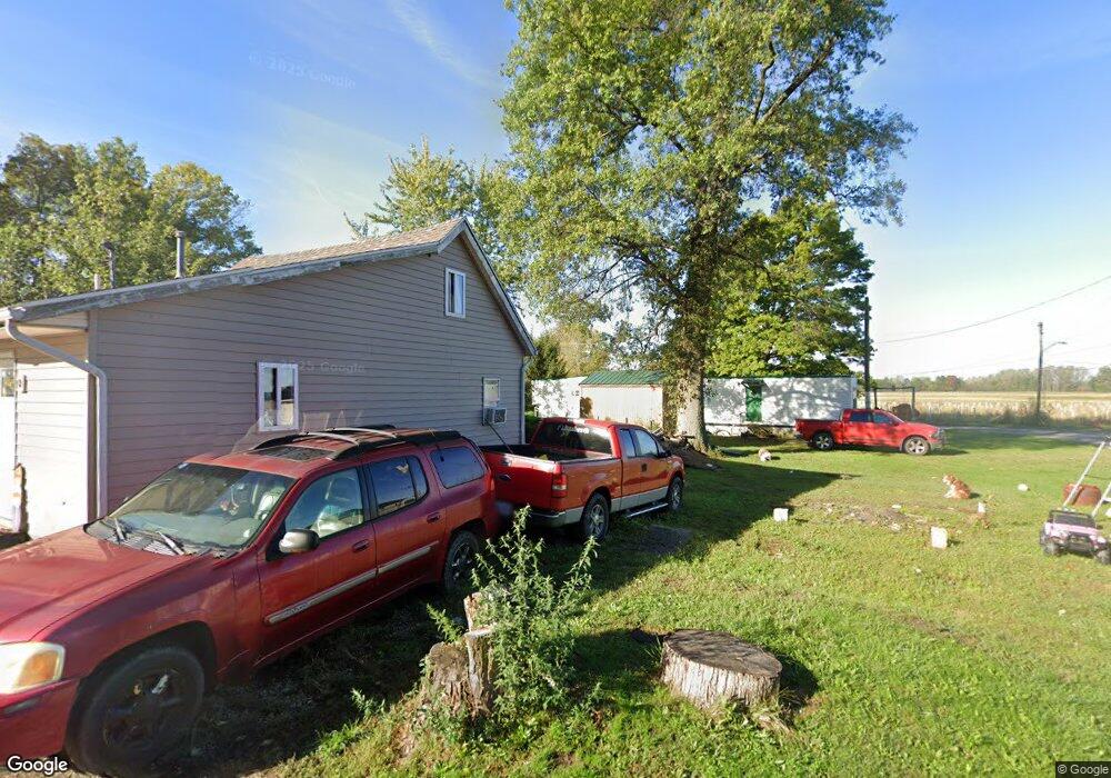
159 Bristol Cir Russells Point, OH 43348
Estimated Value: $28,000 - $123,000
1
Bed
1
Bath
320
Sq Ft
$284/Sq Ft
Est. Value
About This Home
This home is located at 159 Bristol Cir, Russells Point, OH 43348 and is currently estimated at $91,000, approximately $284 per square foot. 159 Bristol Cir is a home located in Logan County with nearby schools including Indian Lake Elementary School, Indian Lake Middle School, and Indian Lake High School.
Ownership History
Date
Name
Owned For
Owner Type
Purchase Details
Closed on
Jan 3, 2022
Sold by
West John R and West Julie D
Bought by
Emrick Amber
Current Estimated Value
Purchase Details
Closed on
Apr 24, 2019
Sold by
Ballou Stacy L
Bought by
West Jolie and West John
Purchase Details
Closed on
Dec 8, 2006
Bought by
Ballou Stacy L
Purchase Details
Closed on
Feb 12, 2004
Bought by
Ferguson Robert
Purchase Details
Closed on
Feb 24, 2003
Bought by
Zirkle Betty J
Purchase Details
Closed on
May 31, 2001
Bought by
Zell Emmett
Purchase Details
Closed on
Oct 23, 2000
Bought by
Predmore Betty J
Create a Home Valuation Report for This Property
The Home Valuation Report is an in-depth analysis detailing your home's value as well as a comparison with similar homes in the area
Home Values in the Area
Average Home Value in this Area
Purchase History
| Date | Buyer | Sale Price | Title Company |
|---|---|---|---|
| Emrick Amber | $1,000 | Lawrence John T | |
| Emrick Amber | $1,000 | Lawrence John T | |
| West Jolie | $1,500 | None Available | |
| Ballou Stacy L | $17,800 | -- | |
| Ballou Stacy L | -- | -- | |
| Ferguson Robert | $19,500 | -- | |
| Zirkle Betty J | $2,000 | -- | |
| Zell Emmett | $18,000 | -- | |
| Predmore Betty J | $4,600 | -- |
Source: Public Records
Tax History Compared to Growth
Tax History
| Year | Tax Paid | Tax Assessment Tax Assessment Total Assessment is a certain percentage of the fair market value that is determined by local assessors to be the total taxable value of land and additions on the property. | Land | Improvement |
|---|---|---|---|---|
| 2024 | $1,087 | $2,260 | $2,260 | $0 |
| 2023 | $1,036 | $2,260 | $2,260 | $0 |
| 2022 | $1,034 | $1,880 | $1,880 | $0 |
| 2021 | $1,280 | $3,590 | $1,880 | $1,710 |
| 2020 | $731 | $5,770 | $1,480 | $4,290 |
| 2019 | $539 | $5,770 | $1,480 | $4,290 |
| 2018 | $320 | $5,770 | $1,480 | $4,290 |
| 2016 | $305 | $5,490 | $1,410 | $4,080 |
| 2014 | $259 | $5,490 | $1,410 | $4,080 |
| 2013 | $280 | $6,270 | $2,190 | $4,080 |
| 2012 | $287 | $6,280 | $850 | $5,430 |
Source: Public Records
Map
Nearby Homes
- 130 Sunnyside Ave
- 202 W Main St
- 211 W Main St
- 202 Grand Ave
- 236 2nd St
- 222 Park Ave
- 134 Brads Way
- 241 Chase Ave Unit B-2-U
- 129 Chase Ave Unit 11U
- 208 Clermont Ave
- 222 Warren Ave Unit 3
- 213 Russell St
- 285 N Orchard Island Rd Unit lot 66
- 246 N Orchard Island Rd Unit 52
- 6 Fun Dr
- 000 Miami Ave
- 718 Grand Ave
- 718 High Ave
- 9713 Mauger St
- 8990 Crescent St